Sometimes there can be amazing stories right under your nose and occasionally our work with our drone cameras can bring them to light. When we were asked to film at Barfoots Farms for the BBC One Show, I’m ashamed to say we had not ever come across them before. So of course we turned to our friend the internet to let us find out more about the story.
What we discovered was that there is a chap called Peter Barfoot who has really changed our lives in terms of what we serve up onto our dinner table through his work on his farms across the south east and a lot of folk have never heard of him. Courgettes and sweetcorn are considered everyday type of vegetables now but this certainly wasn’t the case until the mid 70’s and Barfoot Farms are the folk that we have to thank for this in large part (as well as for tenderstem broccoli, pumpkins, sweet potatoes and a whole lot more). When Brits started to travel abroad and get an appetite for ‘foreign fruits and vegetables’, Peter saw an opportunity to grow and supply this semi exotic fare here in the UK and so it began, growing to an empire with more than 200 staff today keeping us fed with all the veg that we love. So there we go, I’ll feel differently about my dinner plate now I know a little more about what it took to get it there.
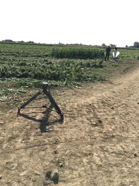
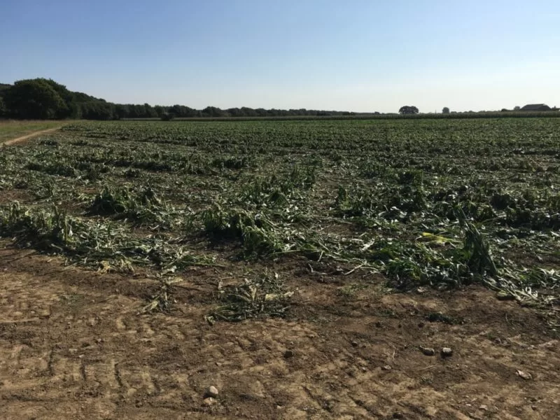
So I’ll spend the day down at Sefter’s Farm down near Bognor Regis, providing aerial cinematography to complement the finished piece and I can’t wait to find out more about the whole story during filming.
You can learn more about Barfoots Farms on thei website hire: www.barfoots.com
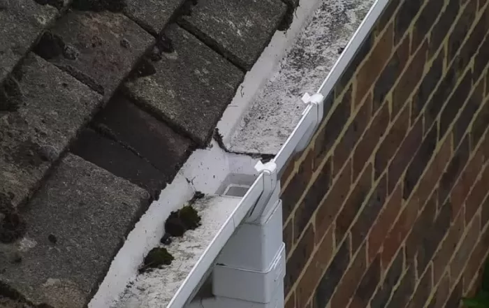
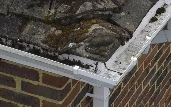

Following the Water: Gutters, Valleys and Where a Roof Sheds Rain
A roof moves rainwater along a designed path, from slope to valley to gutter to outlet. Autumn is when that path is loaded for the first time in months, and when anything silted, sagging or split begins to show. Almost none of it is visible from ground level. This is what an aerial inspection records about roof drainage, why standing water is such a useful signal, and how observations are marked on the imagery so a contractor can quote from them.
Radiometric Thermal Imaging: Why a Thermal Image Is Not a Temperature
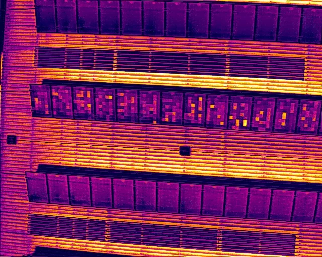
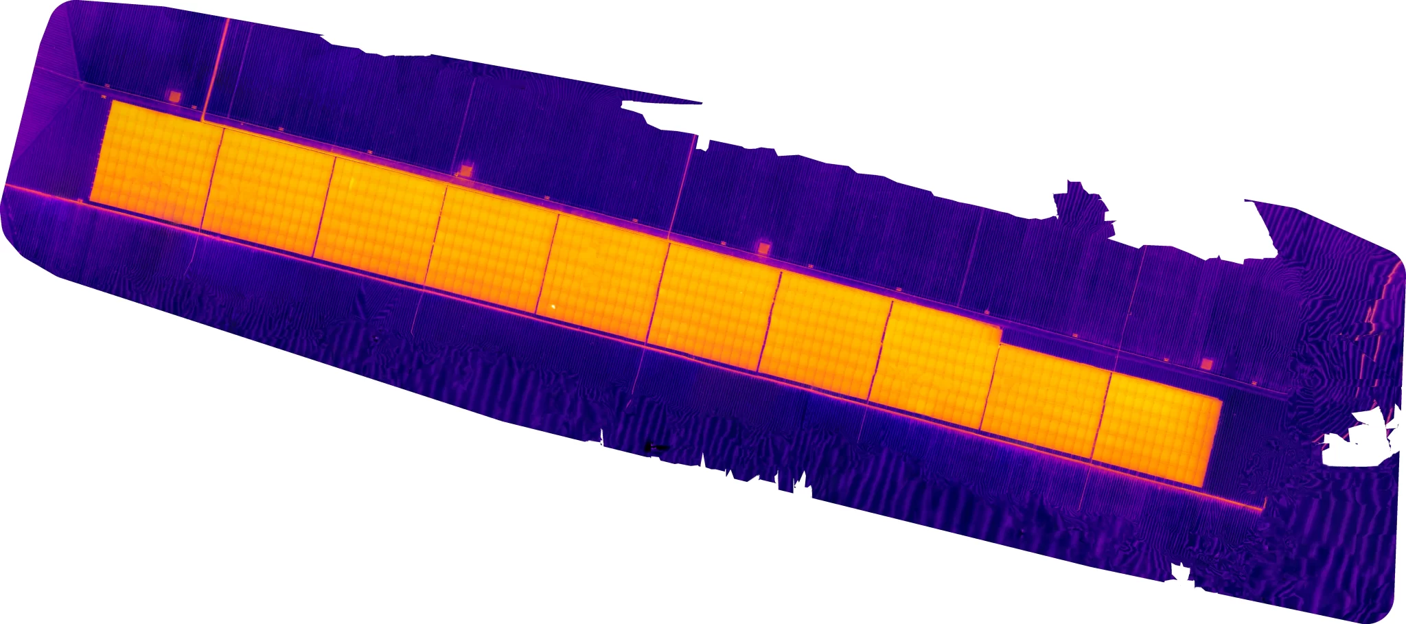
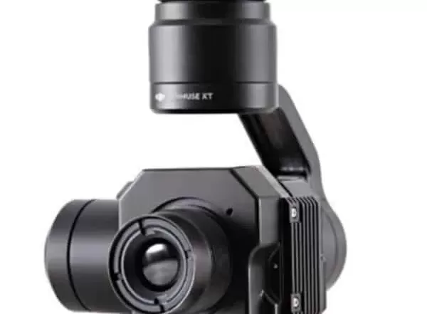
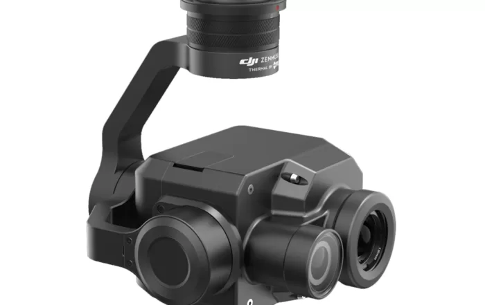
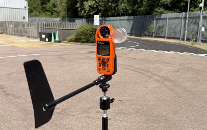
A thermal camera does not measure temperature, it infers one from the radiation reaching its lens. That inference depends on emissivity, reflected apparent temperature, distance and the state of the air in between, all of which the thermographer supplies. Get them wrong and the camera still reports a confident figure. This piece sets out what has to be controlled to make a thermogram measurable, why it matters more on some surfaces than others, and what to ask a supplier.
Drones and Low Flying Aircraft: Who Else Is Using the Air Above Your Site
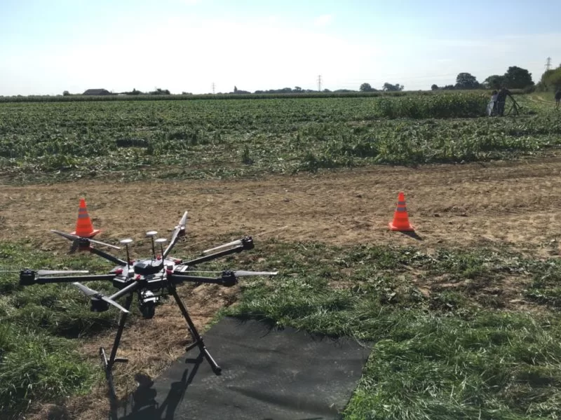
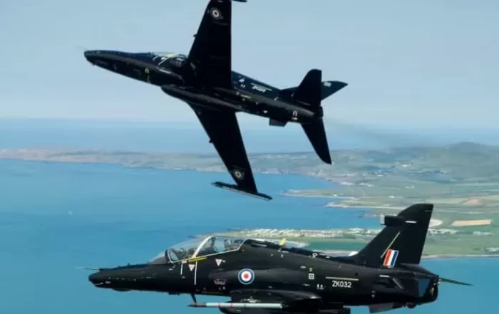
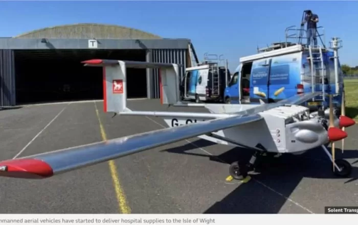
The air a survey drone works in is shared. Air ambulances, police helicopters, light aircraft, infrastructure inspection flights and military low flying training all have legitimate business below 120m, and none of them knows a drone is there unless somebody says so. This piece explains how a commercial operator builds the low level picture before a flight, what the United Kingdom Low Flying System is, how notification works and what it does not buy, and the small decisions on site that keep a survey and a passing aircraft apart.