





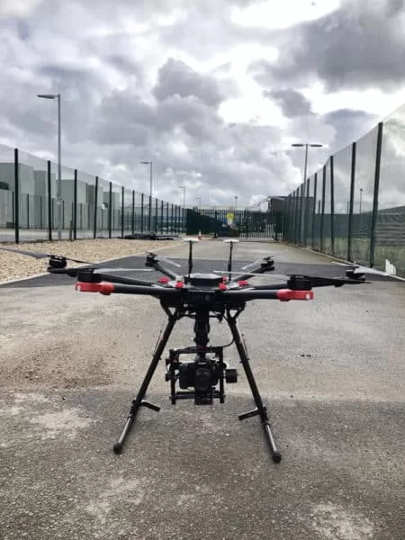
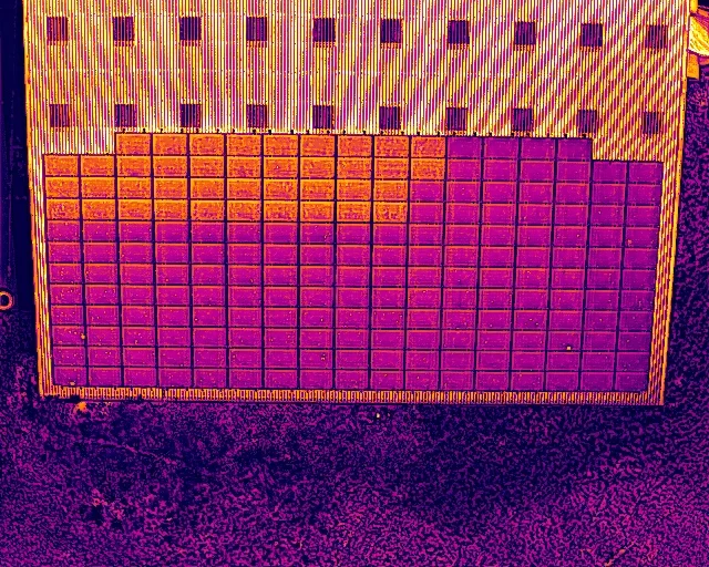
Certified methods, professional standards and commercial drone survey experience since 2016, applied to solar, thermal, roof and mapping work across the UK.

Flights
More than UK flight missions flown
Hours
More than flight hours
A Certified Drone Survey Company
Solar, thermal, roof and mapping surveys from the air
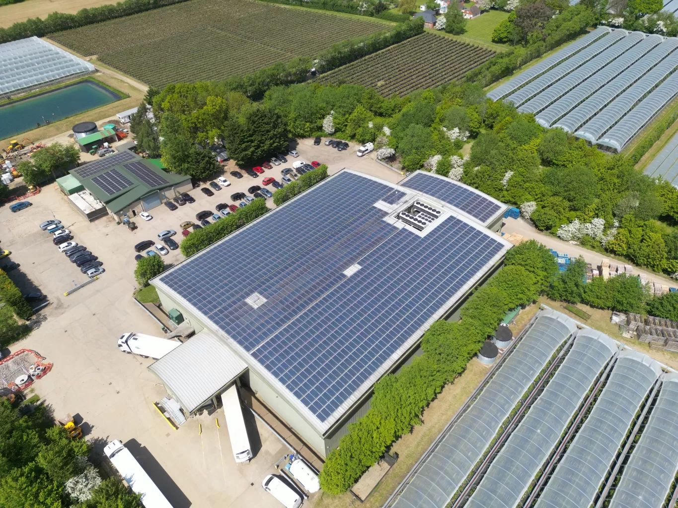
Drone Media Imaging provides drone inspection services to businesses across the UK. From our base in Crawley, West Sussex, we survey commercial solar arrays, buildings, roofs and land, and we turn what the drone records into a report you can act on. We have flown commercial survey work since 2016.
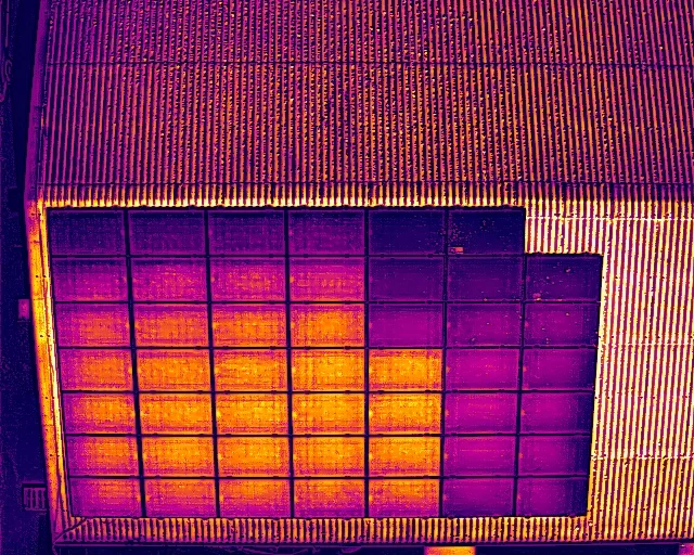
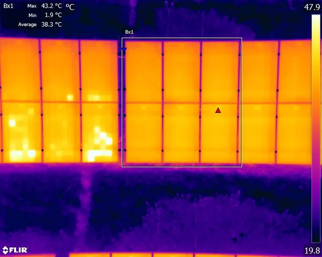
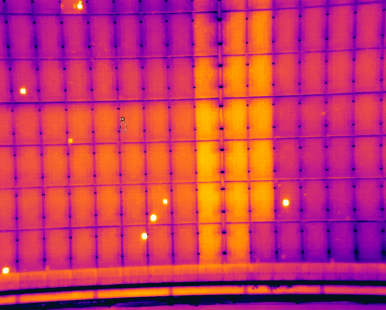
Our work sits in four areas. Solar panel surveys, thermal and electrical, carried out to the IEC 62446-3 standard, combining thermal imaging with electrical testing in a single visit. Drone mapping and photogrammetry that produce measurable maps, plans, volumes and 3D models. Building and roof inspections that replace scaffolding and access equipment with drone imagery. Drone thermography for heat loss, water ingress, leaks and hidden faults.
Everything we do runs to recognised standards and professional certification: thermal work is delivered under Level 3 thermography certification, electrical testing under BS 7671 qualified competence, and every flight under Civil Aviation Authority authorisation. Choose the service that fits, or ask for a quote and we will point you to the right one.
providing professional certified services of superior quality with focus on method and process efficiency.
01.
Solar PV Surveys & Inspections
02.
Drone Mapping & Surveys
03.
Building & Roof Inspections
04.
Drone Thermography & Thermal Imaging
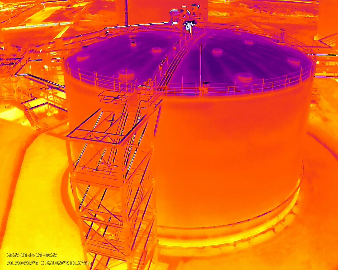
Our clients
Commercial and public-sector organisations that own or manage assets
What you receive
A clear, dated certified report you can act on and share across your team
Trusted, certified, experienced
Why businesses across the UK choose Drone Media Imaging for drone surveys
A drone survey is only as good as the method behind it and the people who read the results. Anyone can fly a camera over a roof, a solar array or a site and bring back images. Turning those images into a finding you can rely on, whether that is a fault on a panel, moisture in a roof or the volume of a stockpile, is a different job, and it is the job Drone Media Imaging is set up to do. Thermal work is delivered under Level 3 thermography certification and every survey runs to a written procedure.
We are one company covering four kinds of survey. A roof problem is often a thermal problem. A solar array on a warehouse roof needs the panels inspected, the roof checked and sometimes the whole building mapped. Because we do all of it, you brief one team, get one report, and never discover that the answer sat in a survey nobody thought to commission.
Standards run through the planning as much as the reporting. A solar survey is flown only when the sunlight, wind and cloud will give a valid result, so we propose dates rather than accept any date offered. A mapping flight follows a planned pattern so two surveys of the same site can be compared. A roof inspection covers every elevation, gutter and fixing in a fixed sequence, so nothing is missed because nobody thought to look. The method is what makes the result repeatable, and repeatable is what a client can rely on year after year.
Every job runs the same way. You tell us about the site and the question. We quote a fixed price for the scope, agree the survey dates, and fly under full Civil Aviation Authority authorisation. You receive a clear, dated report in which every finding is located, graded and explained in plain language, ready to hand to a contractor or an insurer.
We are independent. We do not install, maintain or repair anything, so the report says what we found and nothing else. Where an inspection is driven by fire risk or an insurer’s question, that independence is exactly what the person asking for it needs to see.
Certified and accountable
Qualifications, Standards and Certification
1. ITC Level III Certified Master Thermographer
All thermographic analysis and reporting is carried out by Steve Fisher, ITC Level III Certified Master Thermographer (Infrared Training Centre, Teledyne FLIR; certification number 205722059, valid to 28 November 2029). Level III is the most senior of the three thermography levels. It is the level at which a thermographer analyses results, writes the procedures others follow and takes responsibility for the findings, rather than only operating the camera.
2. Thermal imaging and drone thermography training
Thermal Imaging Category 2, iRed Academy, 2020, and Drone Thermography Category 1, iRed Academy, 2018. iRed is a BINDT-approved training organisation, and these certificates cover the practical capture of thermal data on the ground and from the air.
3. Electrical qualifications behind solar string testing
Level 3 Award in the Requirements for Electrical Installations, BS 7671:2018. Level 2 Certificate in Fundamental Inspection, Testing and Initial Verification. Level 3 Certificate in Building Regulations for Electrical Installations in Dwellings. These are the qualifications that underpin the string-level electrical testing we pair with a solar thermal survey, so that a thermal finding can be confirmed electrically on the same visit.
4. Civil Aviation Authority authorisation
All flights are conducted under a CAA Operational Authorisation. Our pilots hold the General Visual Line of Sight Certificate (GVC) and the A2 Certificate of Competency, which together permit commercial operation close to people, buildings and infrastructure.
5. The standards our methods follow
Solar inspections follow IEC 62446-3:2017, the international method for thermographic inspection of photovoltaic modules and plants, with IEC 62446-1 governing the electrical testing that accompanies it. Building thermography follows EN 13187:1999, the European method for detecting thermal irregularities in building envelopes. Thermographic practice is aligned with the frameworks of ISO 18436-7:2014, ASNT SNT-TC-1A, ANSI/ASNT CP-105 and BINDT CMGEN Appendix B. These are the frameworks our methods align with; the certificates we hold are the ones listed above, claimed exactly as issued.
6. Professional membership
Drone Media Imaging is a member of the UK Thermography Association, the professional body for thermographers practising in the United Kingdom.
7. AI governance
Drone Media Imaging uses AI openly and under expert supervision, because it makes the work faster, more consistent and better value. What it never replaces is certified judgement: every classification in a thermographic report is made first by the certified thermographer, AI-based tooling is used only as an independent check afterwards, and every deliverable is read, checked and approved by the certified professional who signs it. Our AI governance is operated in alignment with the principles of ISO/IEC 42001, and no client data is used to train any AI model. The full policy is published at dronemediaimaging.co.uk/ai-policy.
Steve Fisher, ITC Level III Certified Master Thermographer (Infrared Training Centre), practising to ISO 18436-7-aligned frameworks, with IEC 62446-3 solar inspection competence and BS 7671:2018 Level 3 electrical certification.

Drone Thermography UK ~ Solar Panel Inspection UK ~ Drone Survey Company UK ~ Certified Drone Thermography Company UK ~ Drone Inspection Services UKDrone Thermography UK ~ Solar Panel Inspection UK ~ Drone Survey Company UK ~ Certified Drone Thermography Company UK ~ Drone Inspection Services UK
At Drone Media Imaging, we pride ourselves on delivering high-quality drone services that drive real results for our clients. From solar panel inspections and aerial thermography to mapping, and precision surveying, our projects showcase the accuracy, efficiency, and value we bring to businesses across the UK. Explore our latest projects and case studies to see how Drone Media Imaging can support your industry with professional, reliable, and expert drone services.
Book a Certified Drone Thermography or Solar PV Inspection
Get accurate, standards-compliant aerial data for your solar, building or industrial assets. We deliver IEC-compliant solar inspections, Level 3 aerial thermography, string-level electrical testing, and precision mapping across the UK.
Quotes and consultations are free, with no obligation.
Certified drone thermography, solar panel inspection and drone surveys, delivered by a trusted, experienced UK company since 2016
Drone Media Imaging is a certified drone thermography company and drone survey company serving commercial clients across the UK. Since 2016 we have inspected solar arrays, roofs, buildings and land from the air. Thermal work is delivered under ITC Level III thermography certification, electrical testing under BS 7671 qualified competence, and every survey to a written method. Few companies offer all of it under one roof.
Whether you need a solar panel inspection to the IEC 62446-3 standard, a drone roof inspection, a thermal survey for heat loss or a leak, or a measured map of a site, the approach is the same: a clear scope, a fixed quote, survey dates chosen for valid conditions, and a report written to be understood by the people who have to act on it.
We are based in Crawley, West Sussex, work throughout England, Scotland, Wales and Ireland, and take thermography projects further afield. Drone Media Imaging is a trading name of VisualChaos Studios Ltd, a VAT-registered company with published terms, privacy, copyright and AI policies. If you have a site and a question, request a quote and we will tell you plainly what we can answer and what it will cost.
Precision, Expertise, Certified and Innovative
Delivering High-Quality and Certified Aerial Solutions for Your Business Across the UK
Expertise
Certified Master Thermographer Level 3
IEC 62446-3 & IEC 62446-1 Compliant
Compliant
CAA Operational Authorisation
GVC & A2 CofC Certified Commercial

Aerial Drone News and Blogs.

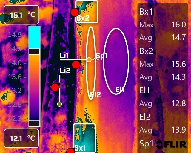
A thermal camera does not measure temperature, it infers one from the radiation reaching its lens. That inference depends on emissivity, reflected apparent temperature, distance and the state of the air in between, all of which the thermographer supplies. Get them wrong and the camera still reports a confident figure. This piece sets out what has to be controlled to make a thermogram measurable, why it matters more on some surfaces than others, and what to ask a supplier.

Insurance companies can greatly benefit from embracing drone technology, particularly in the areas of claims assessment, risk prevention, and post-disaster response. Drones can quickly and accurately assess damage, provide risk mitigation recommendations, and aid in resource allocation during disasters.
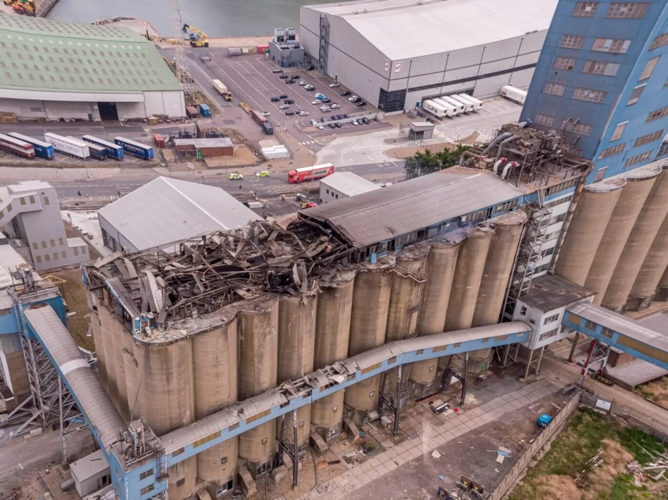
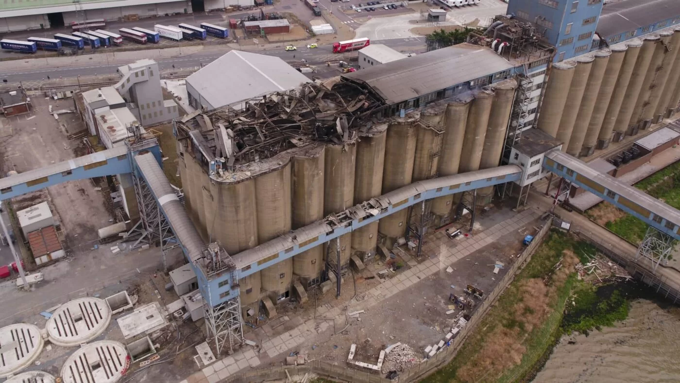
Thermal Fire Monitoring Following a Grain Store Terminal Explosion
Grain Store Explosion and Year-Long Fire – July 5, 2020 – Tilbury Port, London On July 5, 2020, a series of events (possibly by a spark) triggered a large dust explosion and a subsequent fire at the Grain Store Terminal at the Port of Tilbury in London. This was a serious event that required the attention of a large-scale emergency response to get the subsequent grain fire under control and avoid additional explosions. No one was seriously hurt, which is nothing short of a miracle given the number of people on the scene and the amount of reinforced concrete and debris thrown high into the sky before raining down on the surrounding buildings.
Traditional firefighting methods and techniques are ineffective in the case of grain storage fires. Using water to extinguish the inferno is ineffective with grain and dust fires, and the added weight might have caused a catastrophic structural collapse, exacerbating an already challenging situation. As a result, London fire teams were on the scene for days while a proper fire strategy and plan was developed and implemented, with staff always remaining on-site to monitor the situation over the following weeks.
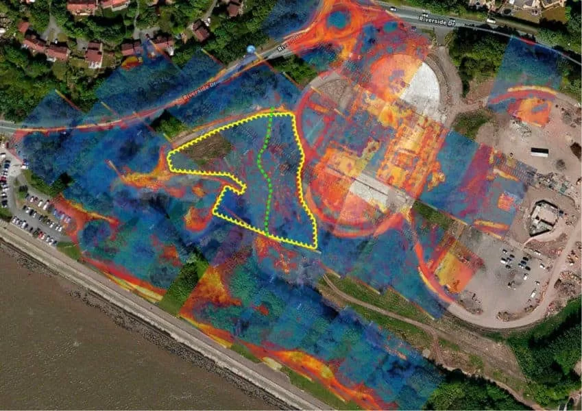
Throughout this early period, there was always the possibility of more explosions and the fire spreading since the grain stored in the linked silos generates dust that may ignite if the temperature is high enough. Drone Media Imaging was contracted to fly thermal imaging flights to collect temperature data to estimate fire spread and track fire management efforts over time. For instance, were the temperatures rising, falling, or remaining constant?
We began operations on July 7, 2020, flying three flights each day, seven days a week initially, to compare temperatures and report back to crisis management teams and emergency service gold commanders. We eventually completed our thermal imaging missions one year and a month after the initial Grain Store explosion in late August 2021! While not all of the silos were full with grain, many were, and several were burning at temperatures far beyond 800°C. Before the fire could be quenched, the building had to be entirely demolished. Temperatures more than 80°C were still being recorded in the grain that remained on the ground after demolition 13 months later.
Gaining safe access to the terminal to fly was not without difficulty, as emergency services had imposed a 50m exclusion zone surrounding the terminal due to the possibility of additional explosions. As a result, our risk assessments and method statements had to be developed specifically for this circumstance and rigorously tested to assure both safe drone flights and the most accurate thermal data gathering at this vital juncture.
We continued to provide the Port of Tilbury London and the accompanying emergency services with daily and weekly calibrated temperature measurements that documented the progress of the grain store fire over 13 months. As thermal infrared aerial specialists, we provided data in the form of detailed reports, thermal imaging, RGB photographic and video footage.


