Sometimes there can be amazing stories right under your nose and occasionally our work with our drone cameras can bring them to light. When we were asked to film at Barfoots Farms for the BBC One Show, I’m ashamed to say we had not ever come across them before. So of course we turned to our friend the internet to let us find out more about the story.
What we discovered was that there is a chap called Peter Barfoot who has really changed our lives in terms of what we serve up onto our dinner table through his work on his farms across the south east and a lot of folk have never heard of him. Courgettes and sweetcorn are considered everyday type of vegetables now but this certainly wasn’t the case until the mid 70’s and Barfoot Farms are the folk that we have to thank for this in large part (as well as for tenderstem broccoli, pumpkins, sweet potatoes and a whole lot more). When Brits started to travel abroad and get an appetite for ‘foreign fruits and vegetables’, Peter saw an opportunity to grow and supply this semi exotic fare here in the UK and so it began, growing to an empire with more than 200 staff today keeping us fed with all the veg that we love. So there we go, I’ll feel differently about my dinner plate now I know a little more about what it took to get it there.
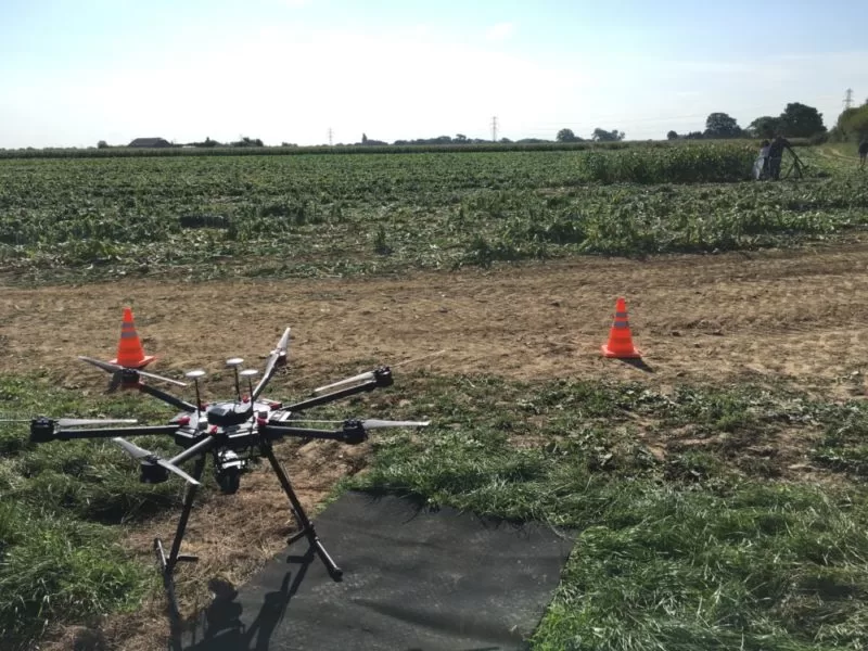
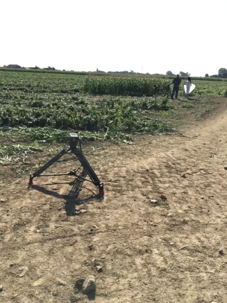
So I’ll spend the day down at Sefter’s Farm down near Bognor Regis, providing aerial cinematography to complement the finished piece and I can’t wait to find out more about the whole story during filming.
You can learn more about Barfoots Farms on thei website hire: www.barfoots.com

Thermal Mass and the Flat Roof: Why Trapped Moisture Shows Itself After Sunset
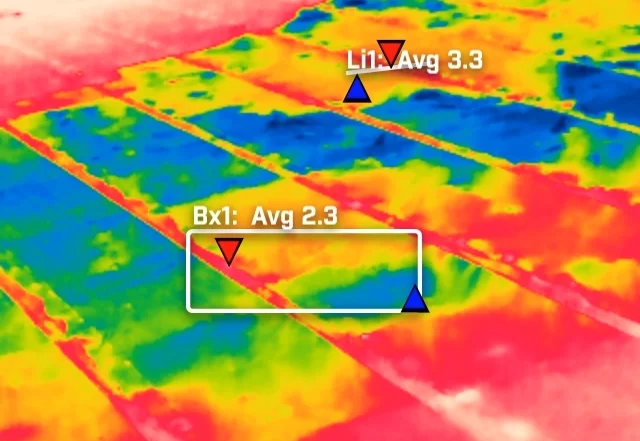
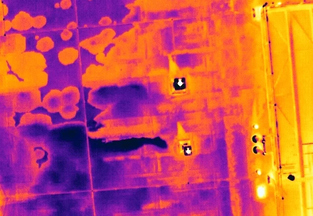
A flat roof is a build-up of layers, and water in the insulation changes how that part of the roof stores and releases heat. It does not make water visible to a thermal camera. What it creates is a lag, a wet zone that cools more slowly than the dry roof around it once the sun has gone. This is how that lag is produced, why the survey is timed to it, and what a warm patch is honestly worth.


Can My Site Be Flown? Drone Separation Distances and What They Mean in Practice
A site owner's question is usually whether a drone is allowed. The regulations answer a different one: how far the aircraft must stay from people who are not part of the operation. That distance is not fixed. It moves with the authorisation the operator holds, the mass and class of the aircraft flown, and how the people on site are briefed. This is what actually decides whether a working site can be flown, and the small part the client plays in it.
Open Land from the Air: What an Aerial Survey of an Estate Can and Cannot Measure
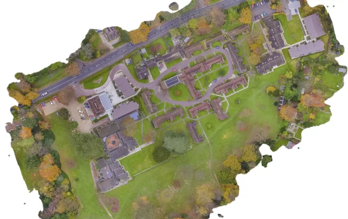
A rural holding is usually recorded in fragments: an old drainage plan, a track that has moved, a boundary everyone agrees on until it is questioned. An aerial survey replaces that with one dated record of the whole site. The decision that matters is whether you need a high quality visual record or positionally accurate survey data, because they look identical on screen, cost differently, and only one of them can be defended. Here is how the two differ, and what the method cannot do.