What the Office Cannot Fix: Why Aerial Data Quality Is Decided on Site
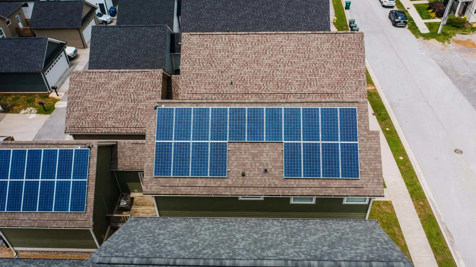
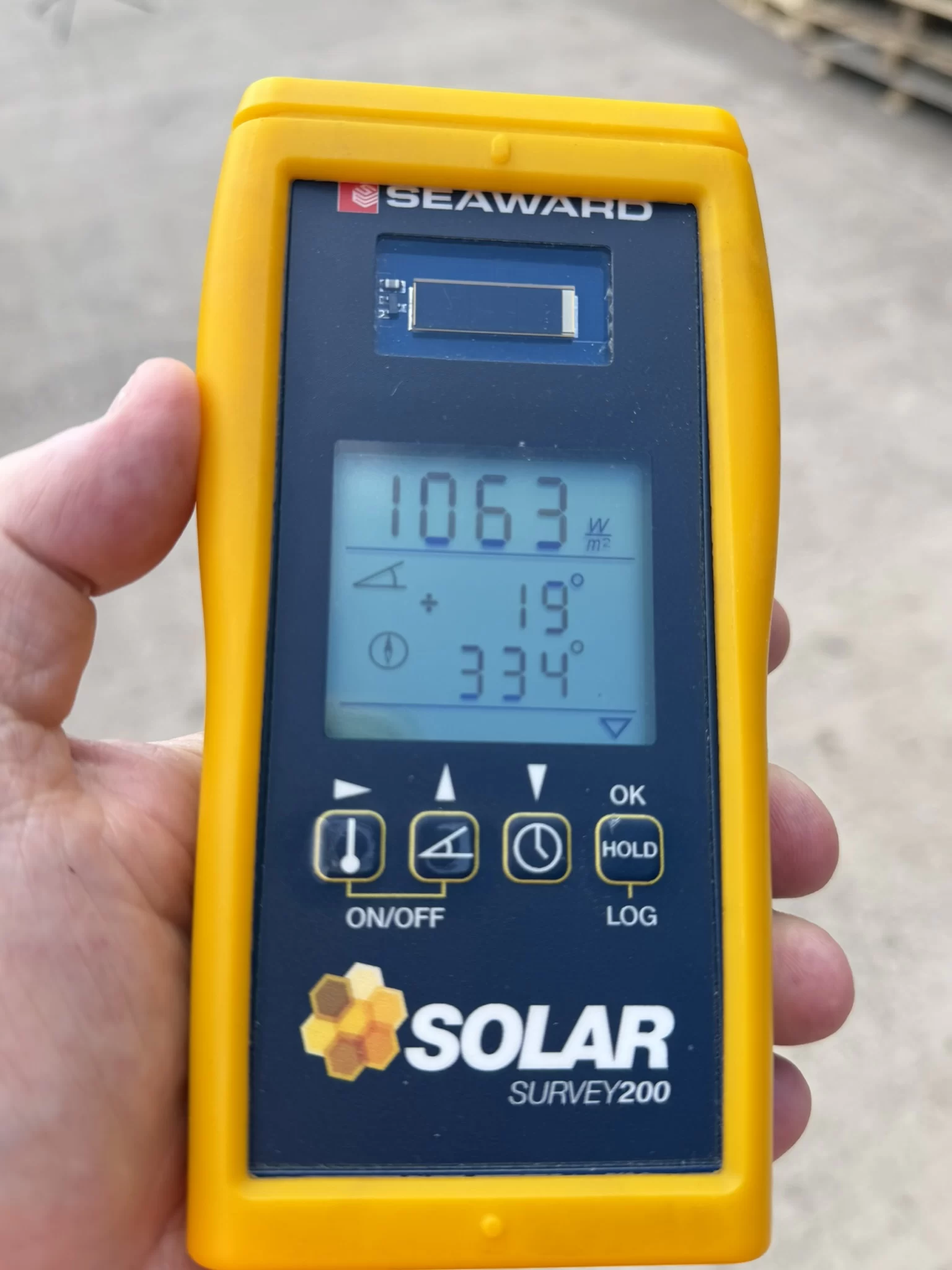
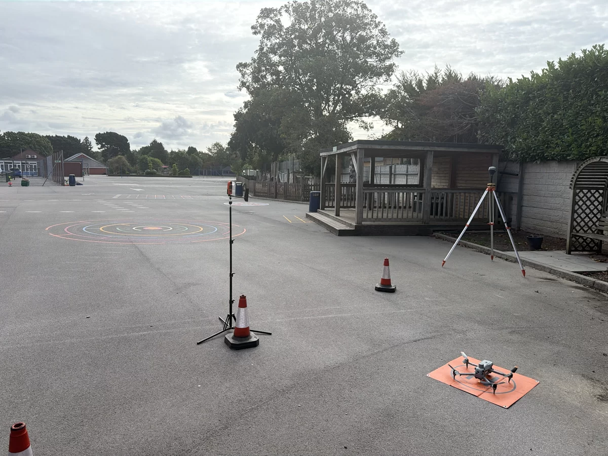
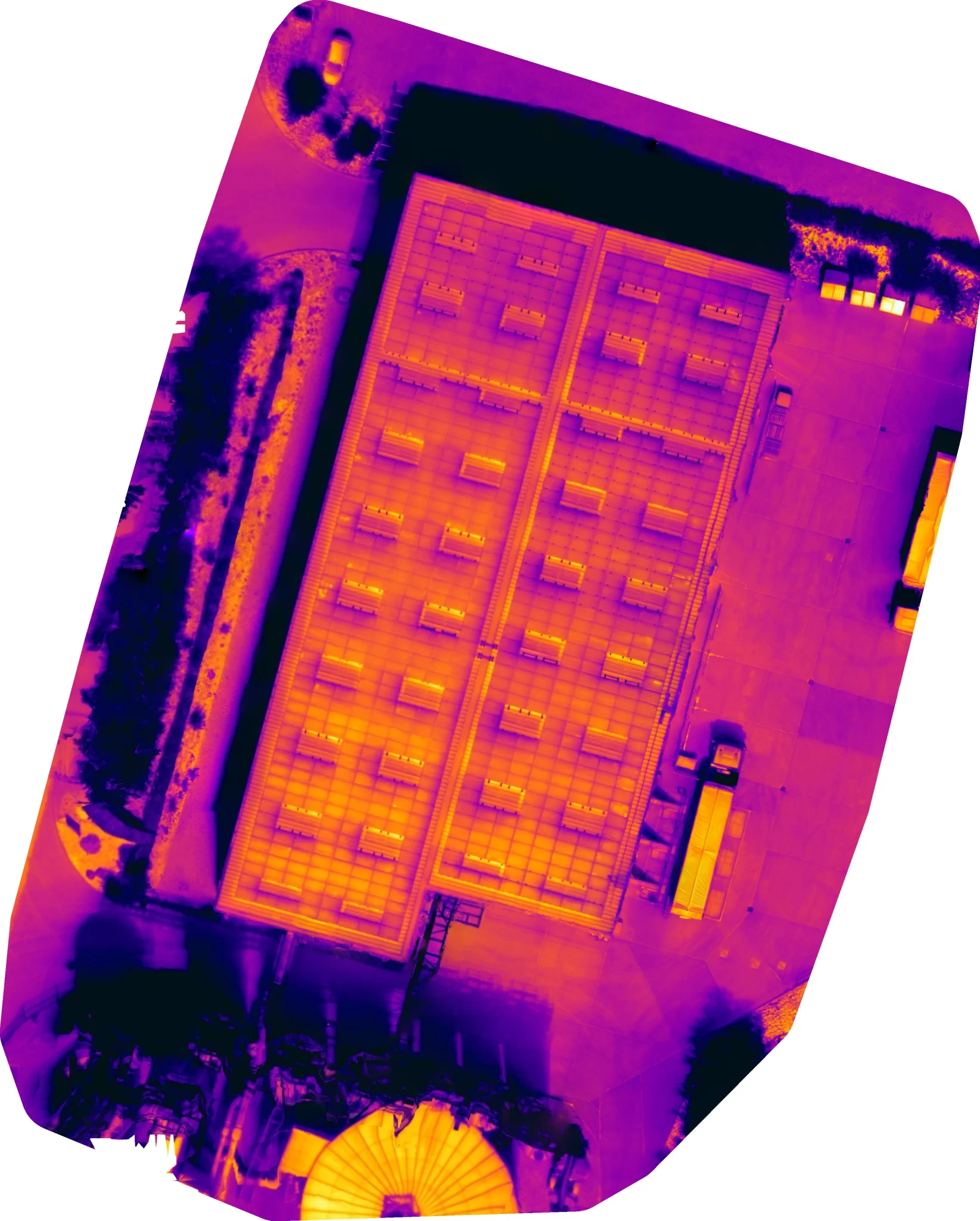
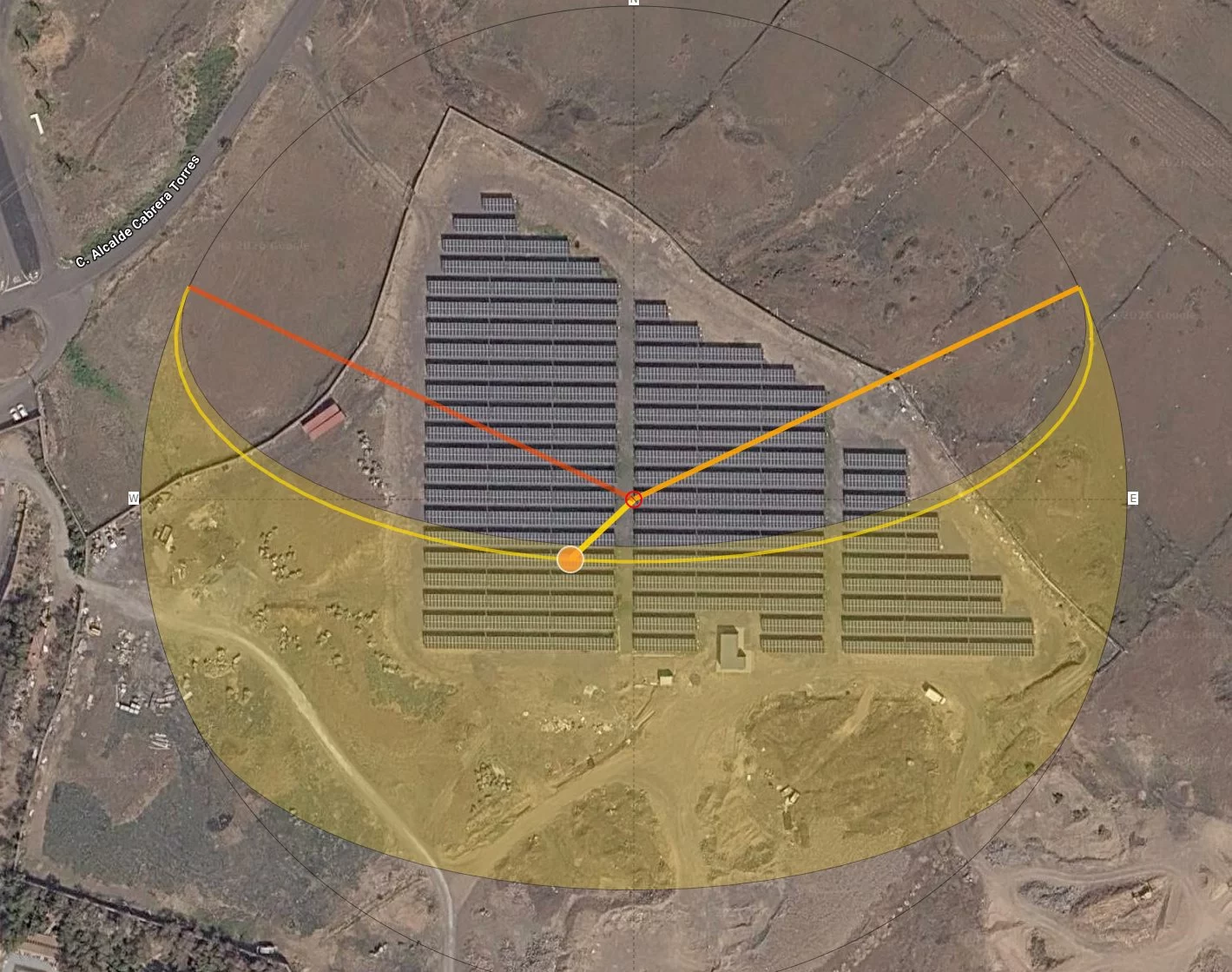
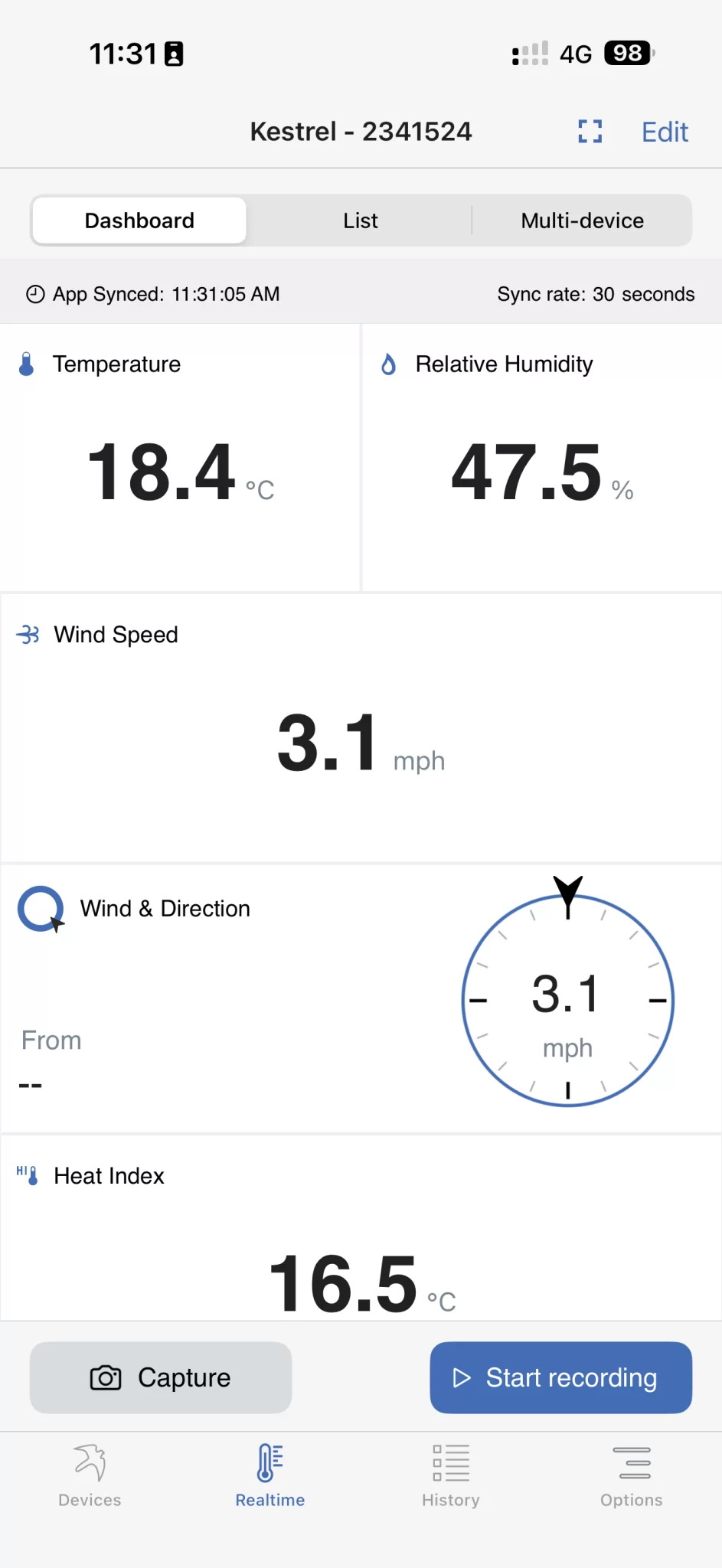
A drone survey flight produces photographs and positions, and that is the whole of the raw material. Everything afterwards is interpretation, so a gap in the imagery stays a gap and a soft frame stays soft. This post sets out what the day of capture actually decides: the light, the wind, the state of the ground, where ground control can physically go on a working site, and the narrow set of checks worth making before the van doors close.