Blog

What to Ask a Drone Operator Before You Hire One

September 14, 2026|Categories: All, News|Tags: , , |

Commissioning aerial photography, a roof inspection or a solar survey means buying the legal basis of the flight as well as the imagery. UK drone regulation changed completely in 2020, and the old shorthand no longer describes anything real. This is a plain guide to the four documents a professional operator should be able to produce on request, what each one actually permits, and the site-specific paperwork a properly run job generates before anybody takes off.
When a Solar PV Thermographic Survey Can Actually Be Flown

September 14, 2026|Categories: All, Featured, Solar|Tags: , , , |

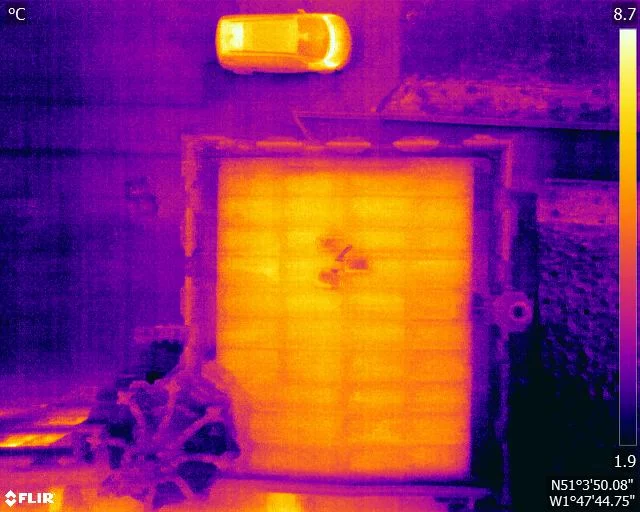
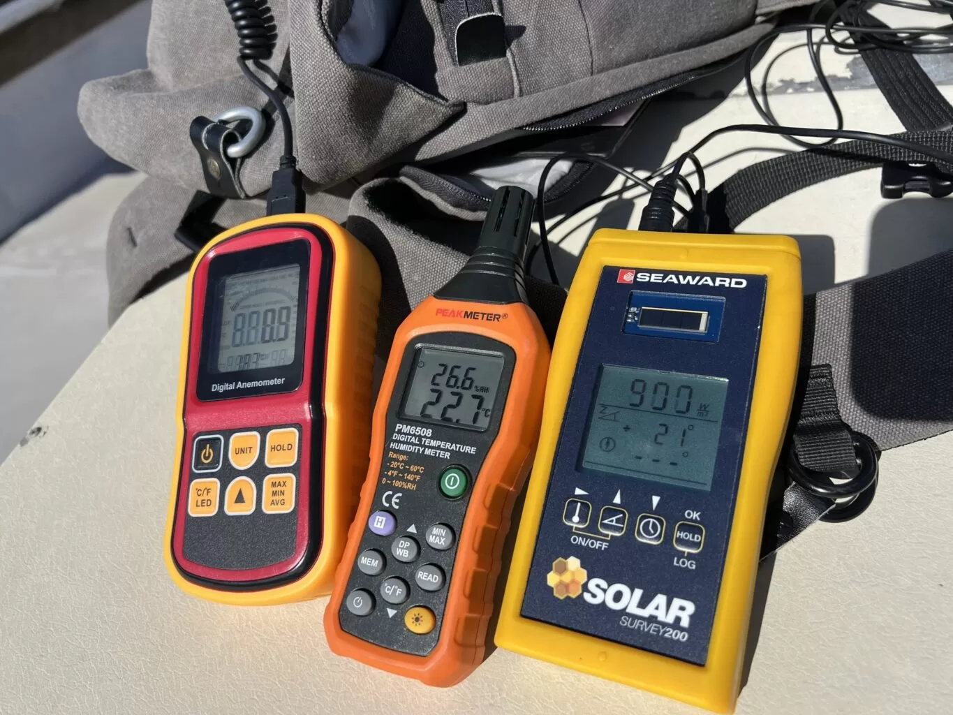
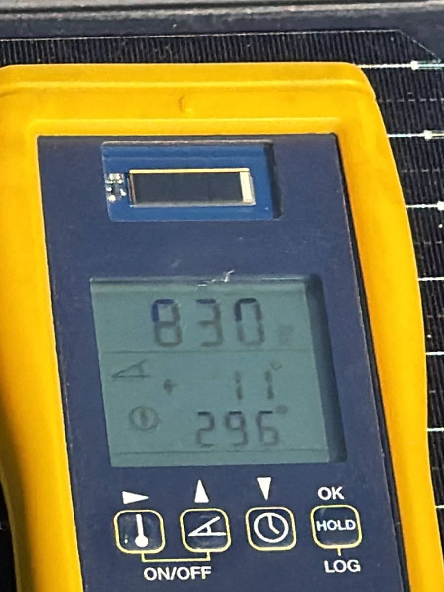
A solar thermographic survey only produces usable evidence when the array is generating properly. IEC TS 62446-3:2017 sets the minimum at 600 W/m² in the plane of the array, and sun elevation, sky stability, wind, wet panels and a curtailed array will each close the window on their own. This post explains why those conditions decide the data, and why a survey flown outside them tends to return a false all-clear rather than an honest result.

Hot Spot, Bypass Diode or PID: Reading Solar Panel Thermal Signatures

September 14, 2026|Categories: All, Featured, Solar|Tags: , , , , |

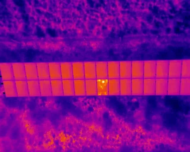
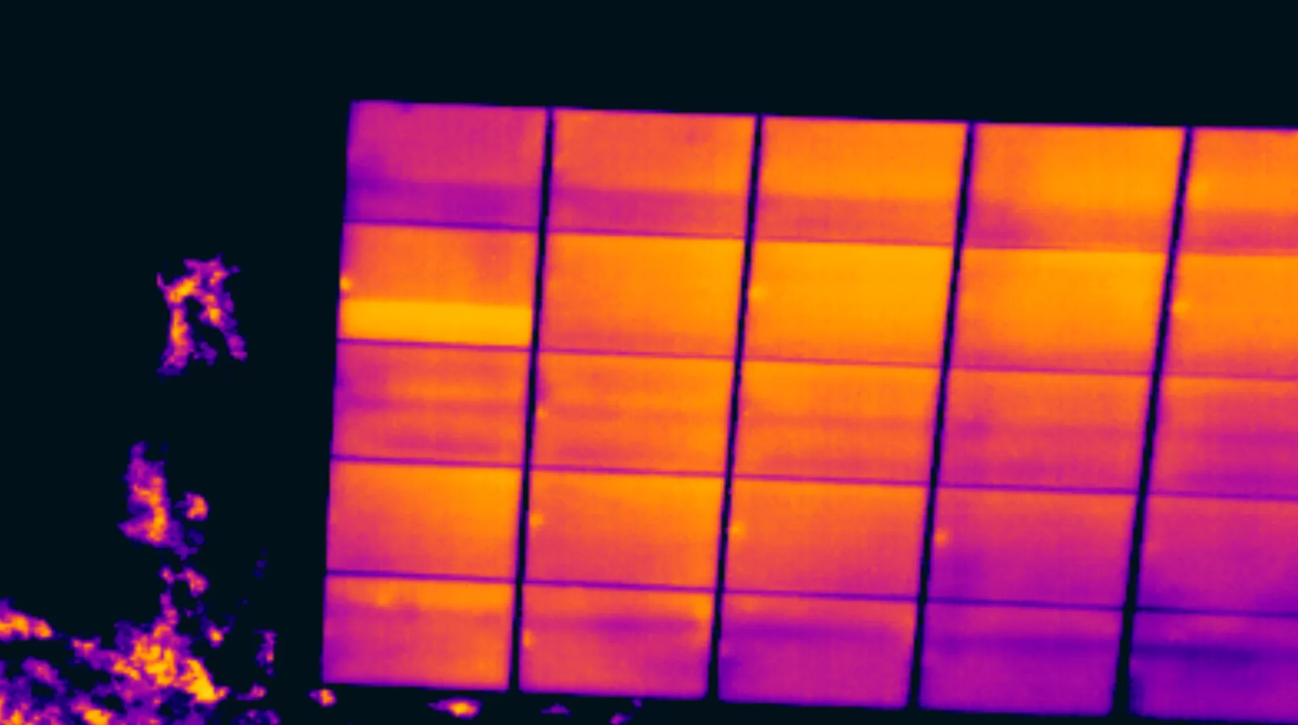
A thermal image of a photovoltaic array records surface temperature, and surface temperature is a symptom rather than a diagnosis. This post sets out how the signatures are actually read on an operating array: what a single hot cell suggests, why a uniformly warm third of a module points somewhere entirely different, how potential-induced degradation gives itself away by geometry, and why severity under IEC 62446-3:2017 is framed with caution rather than asserted from one temperature figure.

Following the Water: Gutters, Valleys and Where a Roof Sheds Rain

September 14, 2026|Categories: All, Featured, Inspection and Survey|Tags: |

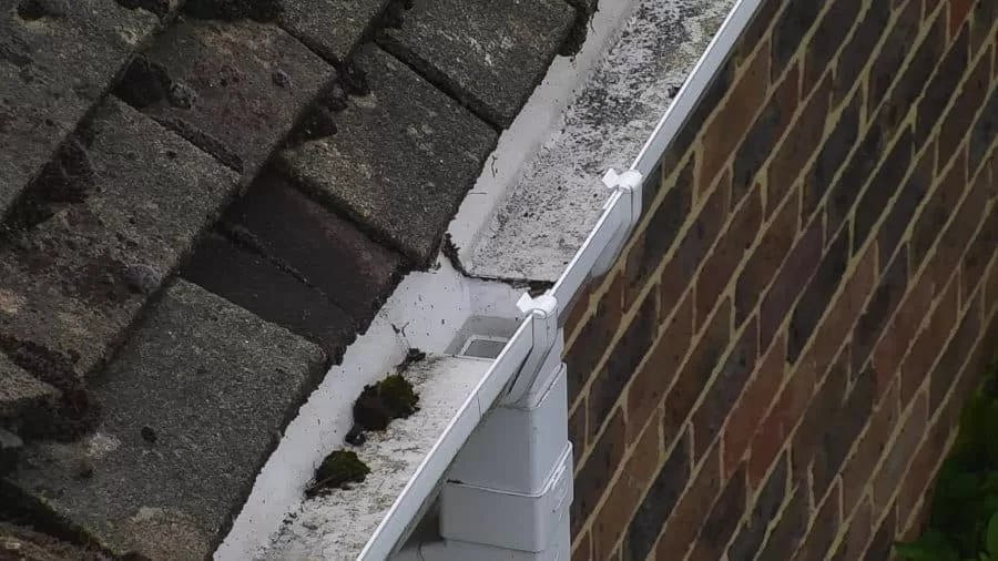
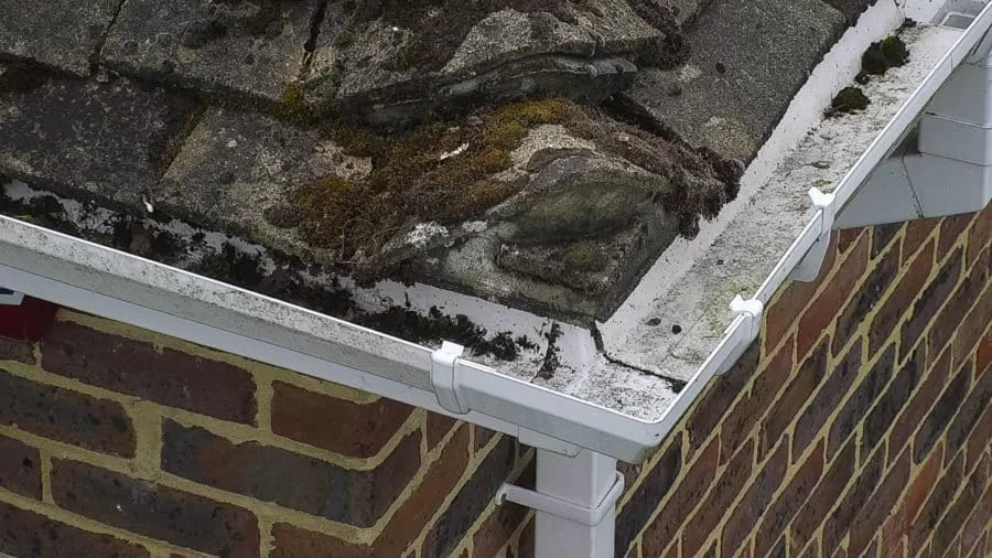
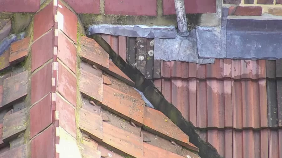
A roof moves rainwater along a designed path, from slope to valley to gutter to outlet. Autumn is when that path is loaded for the first time in months, and when anything silted, sagging or split begins to show. Almost none of it is visible from ground level. This is what an aerial inspection records about roof drainage, why standing water is such a useful signal, and how observations are marked on the imagery so a contractor can quote from them.

Radiometric Thermal Imaging: Why a Thermal Image Is Not a Temperature

September 14, 2026|Categories: All, Featured, News, Thermography|Tags: , , , , , |

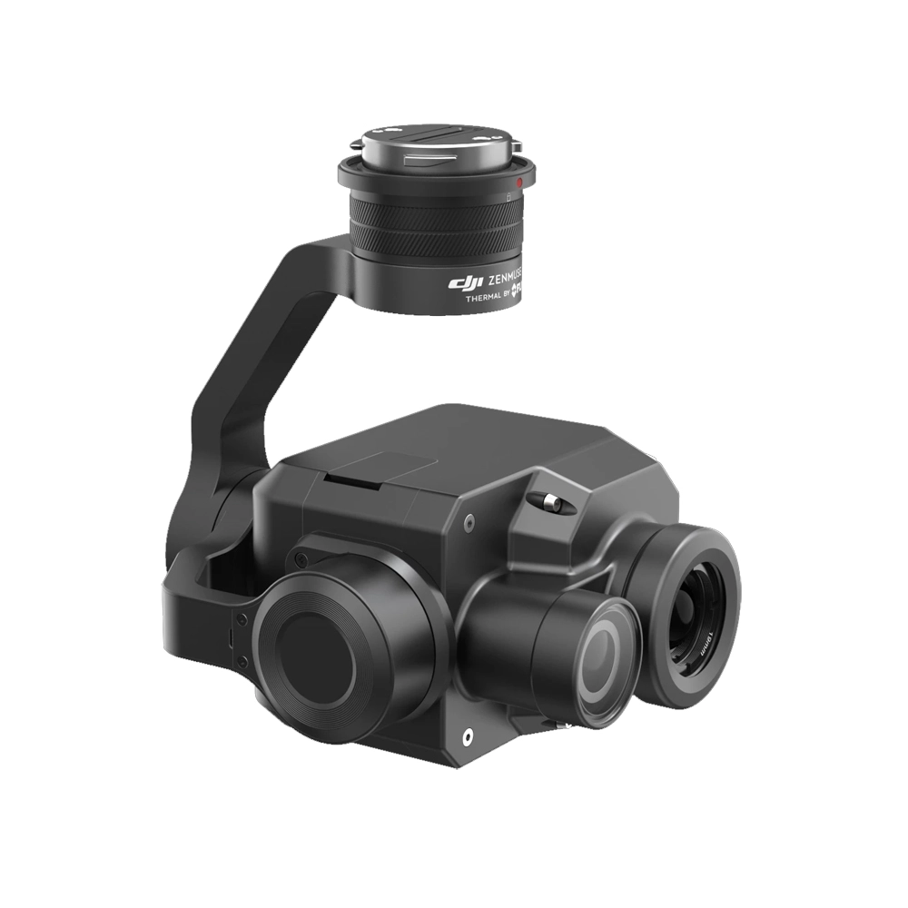
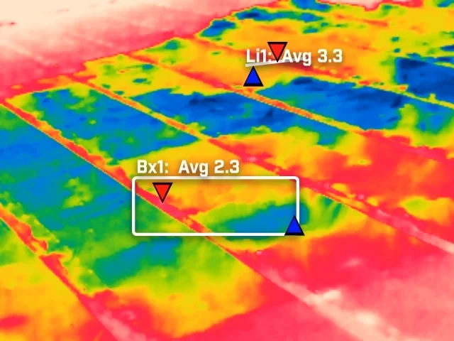
A thermal camera does not measure temperature, it infers one from the radiation reaching its lens. That inference depends on emissivity, reflected apparent temperature, distance and the state of the air in between, all of which the thermographer supplies. Get them wrong and the camera still reports a confident figure. This piece sets out what has to be controlled to make a thermogram measurable, why it matters more on some surfaces than others, and what to ask a supplier.

Drones and Low Flying Aircraft: Who Else Is Using the Air Above Your Site

September 14, 2026|Categories: All, News|Tags: , , , |

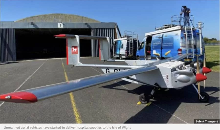
The air a survey drone works in is shared. Air ambulances, police helicopters, light aircraft, infrastructure inspection flights and military low flying training all have legitimate business below 120m, and none of them knows a drone is there unless somebody says so. This piece explains how a commercial operator builds the low level picture before a flight, what the United Kingdom Low Flying System is, how notification works and what it does not buy, and the small decisions on site that keep a survey and a passing aircraft apart.

Thermal Mass and the Flat Roof: Why Trapped Moisture Shows Itself After Sunset

September 14, 2026|Categories: All, Featured, Inspection and Survey, Thermography|Tags: , , , |

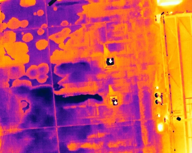
A flat roof is a build-up of layers, and water in the insulation changes how that part of the roof stores and releases heat. It does not make water visible to a thermal camera. What it creates is a lag, a wet zone that cools more slowly than the dry roof around it once the sun has gone. This is how that lag is produced, why the survey is timed to it, and what a warm patch is honestly worth.

Can My Site Be Flown? Drone Separation Distances and What They Mean in Practice

September 14, 2026|Categories: All, News|Tags: , , , |

A site owner's question is usually whether a drone is allowed. The regulations answer a different one: how far the aircraft must stay from people who are not part of the operation. That distance is not fixed. It moves with the authorisation the operator holds, the mass and class of the aircraft flown, and how the people on site are briefed. This is what actually decides whether a working site can be flown, and the small part the client plays in it.

Open Land from the Air: What an Aerial Survey of an Estate Can and Cannot Measure

September 14, 2026|Categories: Featured|Tags: , , , , |

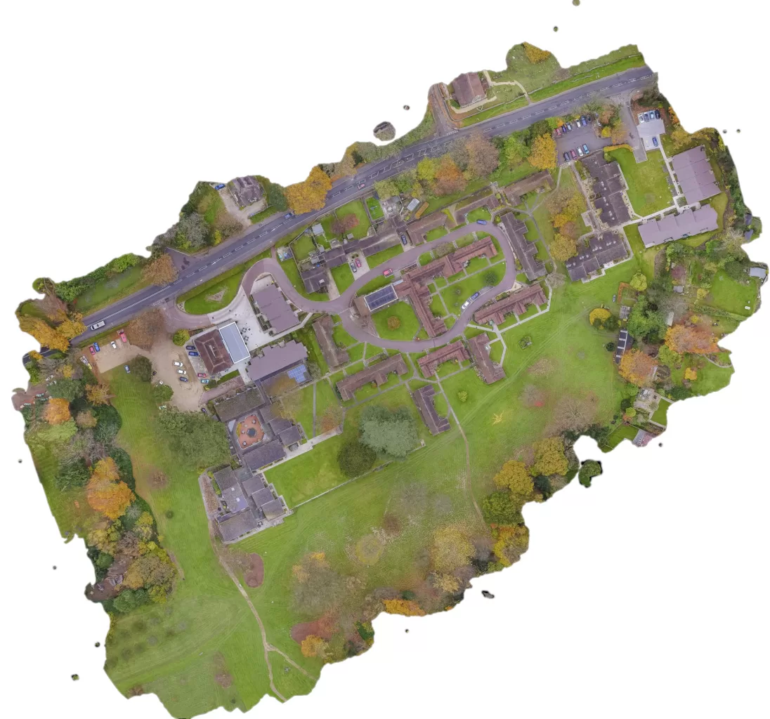
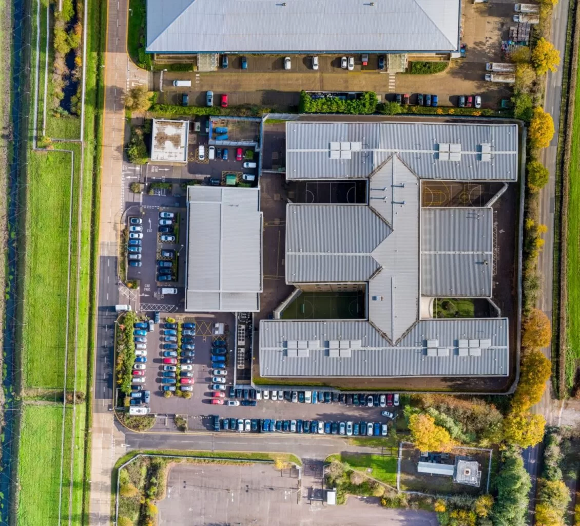
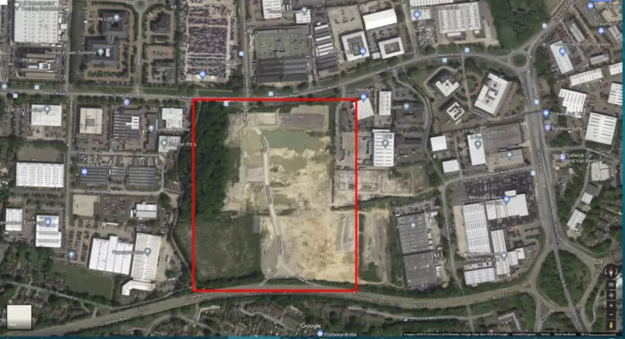
A rural holding is usually recorded in fragments: an old drainage plan, a track that has moved, a boundary everyone agrees on until it is questioned. An aerial survey replaces that with one dated record of the whole site. The decision that matters is whether you need a high quality visual record or positionally accurate survey data, because they look identical on screen, cost differently, and only one of them can be defended. Here is how the two differ, and what the method cannot do.

Flown the Same Way Each Visit: The Aerial Progress Record on a Construction Site

September 14, 2026|Categories: All, Featured, Inspection and Survey, Photogrammetry|Tags: , , , , |

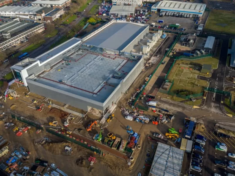
A construction site changes faster than almost any ground we fly, and the question asked six months later is usually about a day that has already passed. Repeat aerial capture answers it, but only if the visits are genuinely comparable. This piece sets out what has to stay fixed between flights, the ground sample distance, the overlap and the time of day, why control is re-established on every return, and where the method stops.

Go to Top