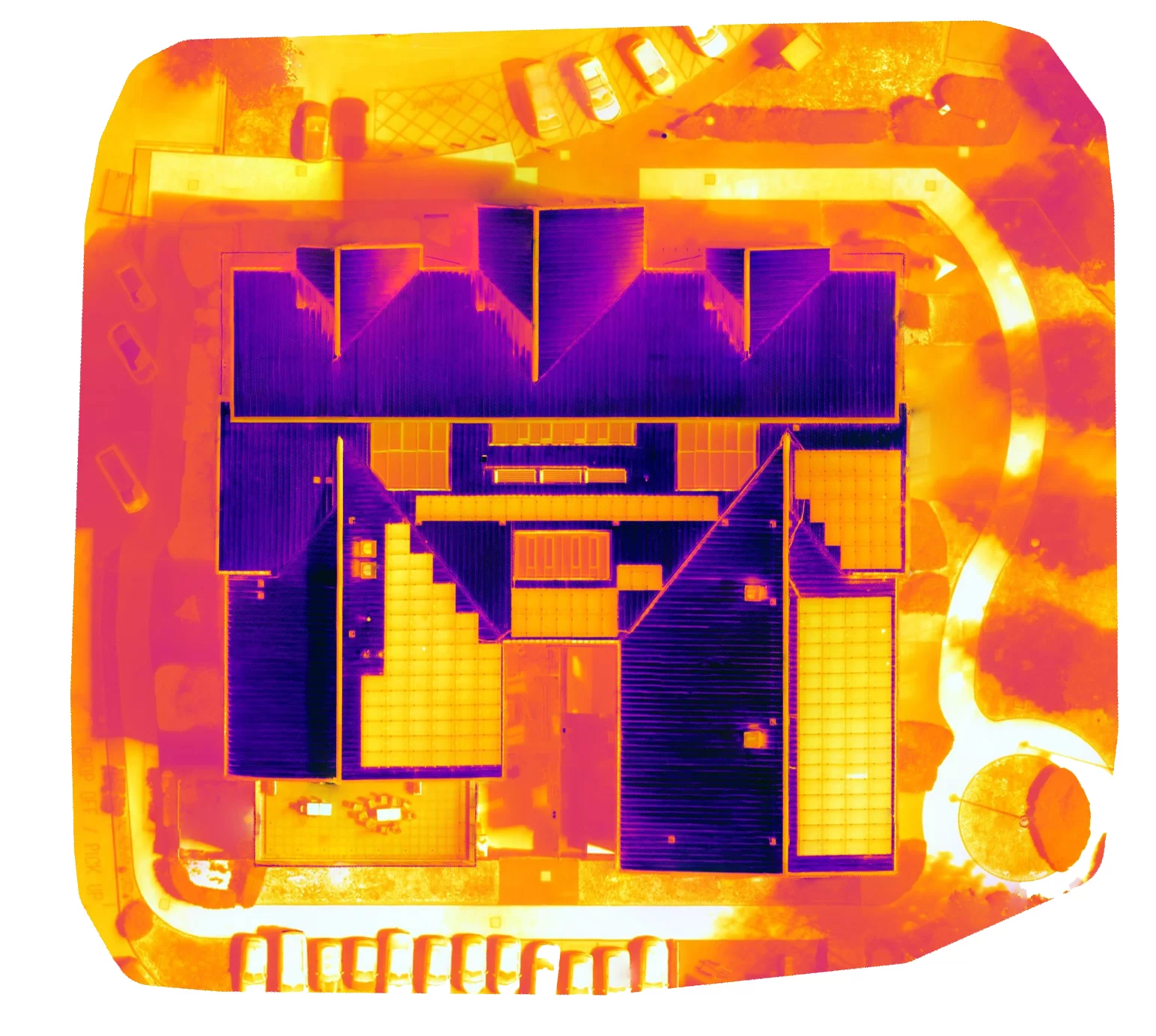
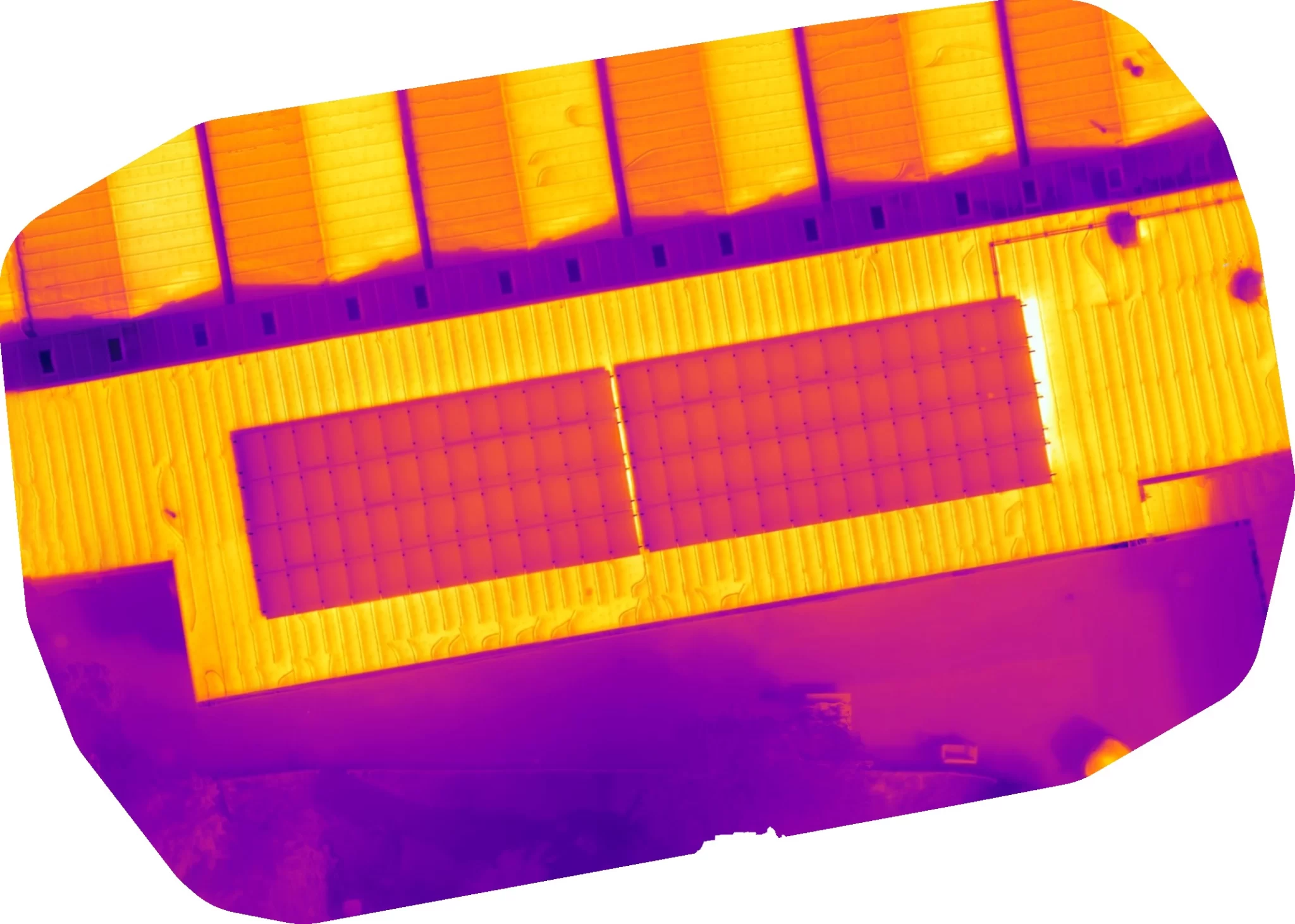
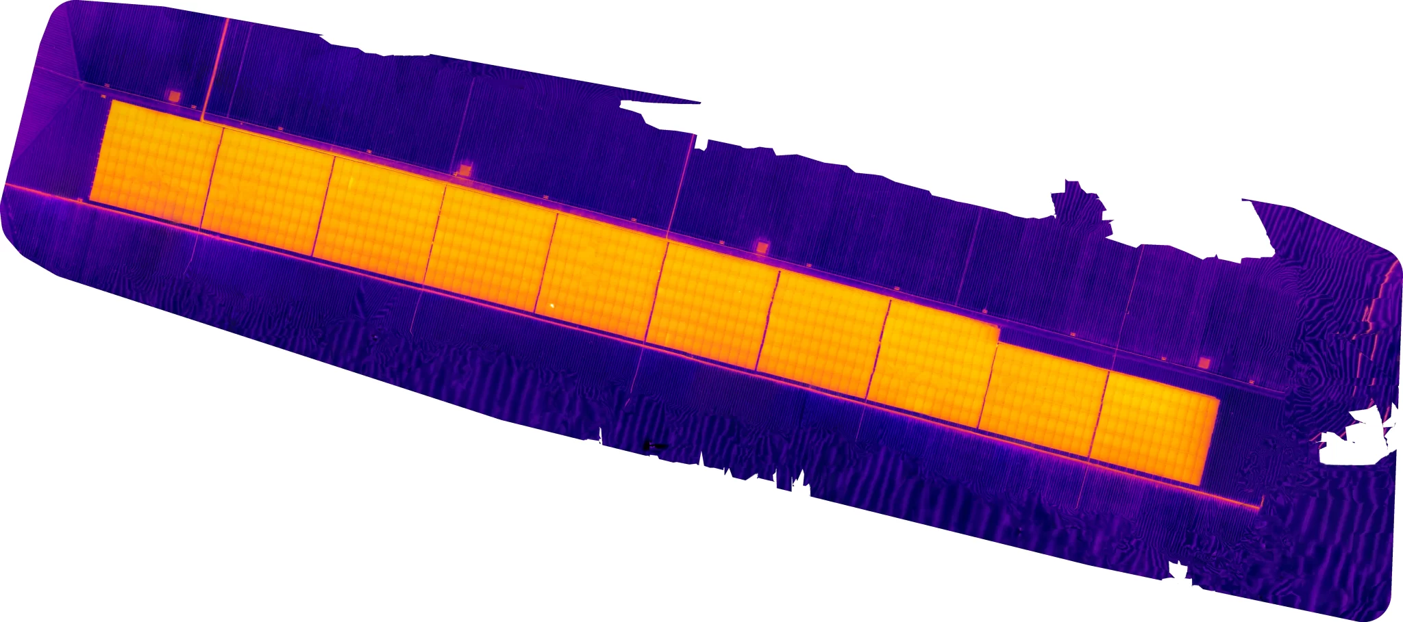
We were honoured to be asked to work with the BBC’s One Show team to assist in putting together an exclusive piece to accompany their interview with Gemma Dowler. Gemma has just written a book, My Sister Milly, speaking about her life and the trauma that her, and her family, went through when her sister was abducted and since.
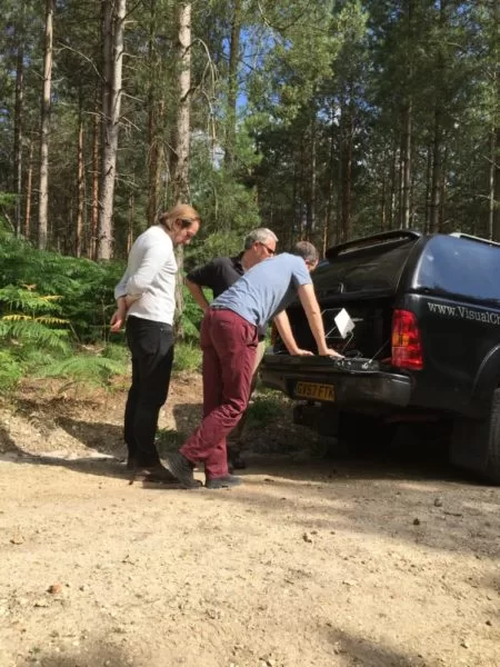
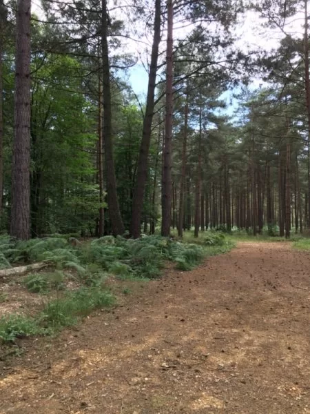
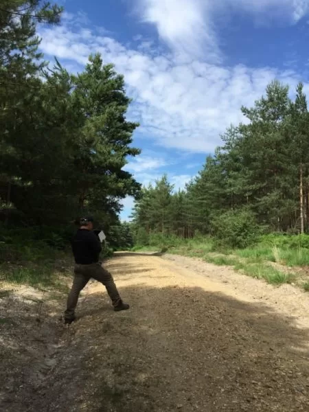
We were to film in Yateley Heath Woods alongside the documentary crew, which is where Milly’s body was finally discovered six months after her disappearance. It was an undeniably beautiful woodlands although it has now of course been laced with sadness. We took time to capture the environment sensitively both through some of the woodlands and from an aerial perspective to contribute to that part of the her story.
It was a very a very difficult day for all of us…..
RIP …Milly Dowler

Following the Water: Gutters, Valleys and Where a Roof Sheds Rain
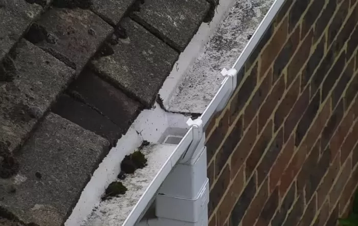
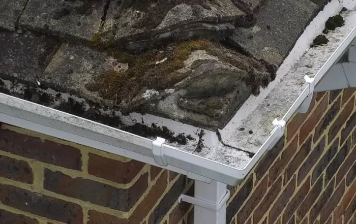
A roof moves rainwater along a designed path, from slope to valley to gutter to outlet. Autumn is when that path is loaded for the first time in months, and when anything silted, sagging or split begins to show. Almost none of it is visible from ground level. This is what an aerial inspection records about roof drainage, why standing water is such a useful signal, and how observations are marked on the imagery so a contractor can quote from them.
Radiometric Thermal Imaging: Why a Thermal Image Is Not a Temperature
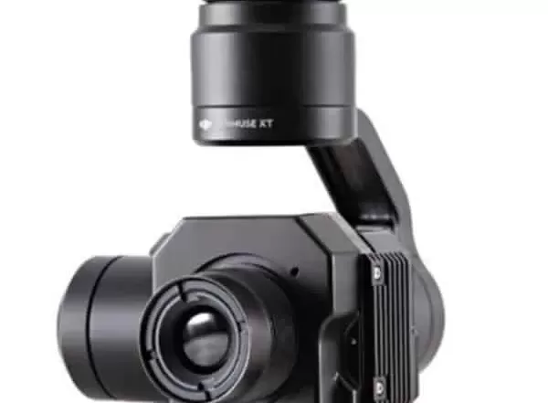
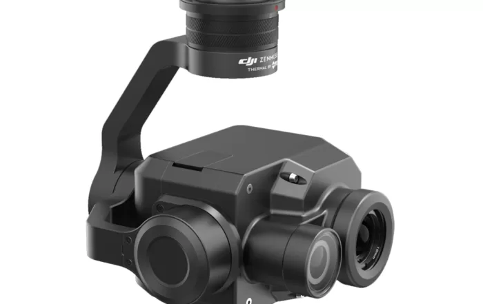
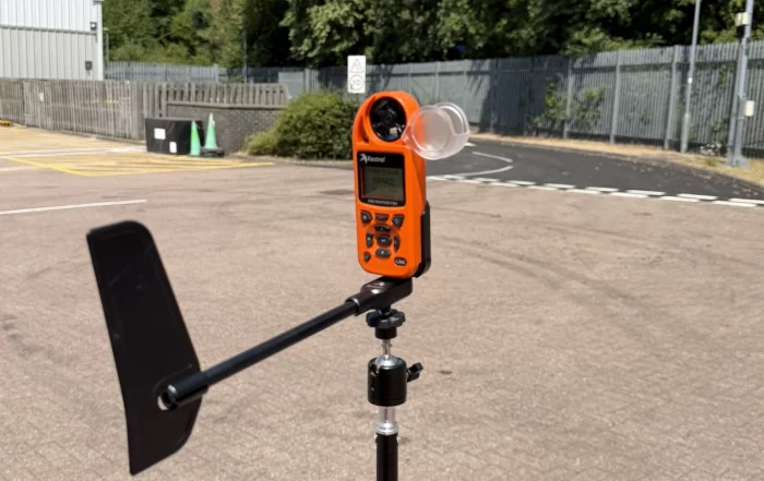
A thermal camera does not measure temperature, it infers one from the radiation reaching its lens. That inference depends on emissivity, reflected apparent temperature, distance and the state of the air in between, all of which the thermographer supplies. Get them wrong and the camera still reports a confident figure. This piece sets out what has to be controlled to make a thermogram measurable, why it matters more on some surfaces than others, and what to ask a supplier.

Drones and Low Flying Aircraft: Who Else Is Using the Air Above Your Site
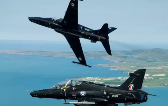
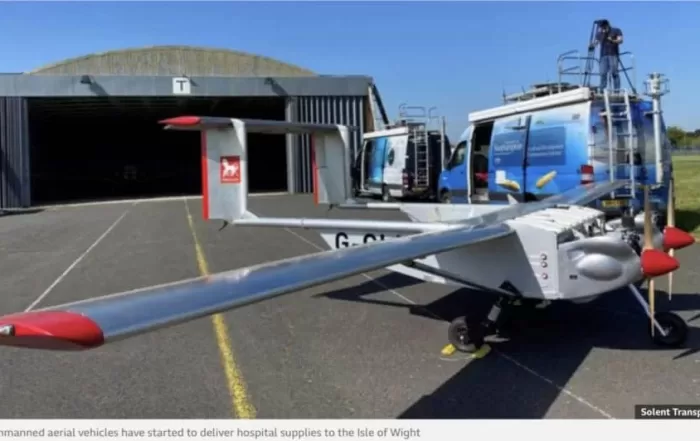
The air a survey drone works in is shared. Air ambulances, police helicopters, light aircraft, infrastructure inspection flights and military low flying training all have legitimate business below 120m, and none of them knows a drone is there unless somebody says so. This piece explains how a commercial operator builds the low level picture before a flight, what the United Kingdom Low Flying System is, how notification works and what it does not buy, and the small decisions on site that keep a survey and a passing aircraft apart.