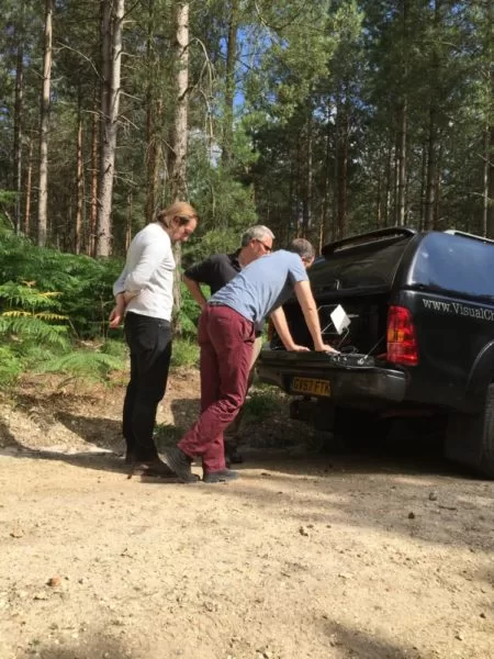
We were honoured to be asked to work with the BBC’s One Show team to assist in putting together an exclusive piece to accompany their interview with Gemma Dowler. Gemma has just written a book, My Sister Milly, speaking about her life and the trauma that her, and her family, went through when her sister was abducted and since.
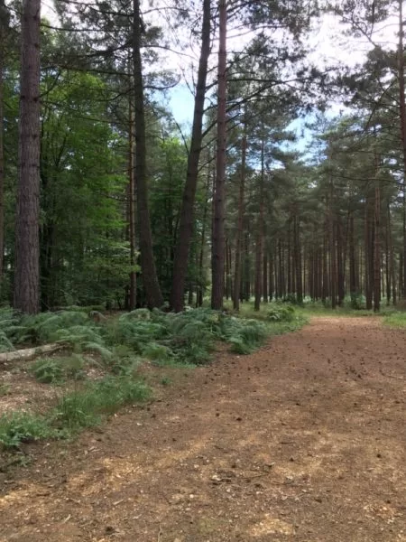
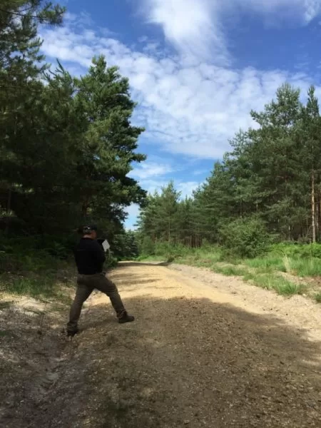
We were to film in Yateley Heath Woods alongside the documentary crew, which is where Milly’s body was finally discovered six months after her disappearance. It was an undeniably beautiful woodlands although it has now of course been laced with sadness. We took time to capture the environment sensitively both through some of the woodlands and from an aerial perspective to contribute to that part of the her story.
It was a very a very difficult day for all of us…..
RIP …Milly Dowler

Thermal Mass and the Flat Roof: Why Trapped Moisture Shows Itself After Sunset
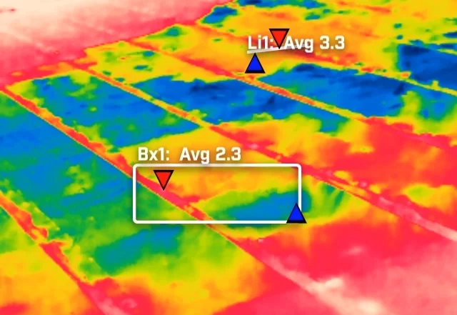
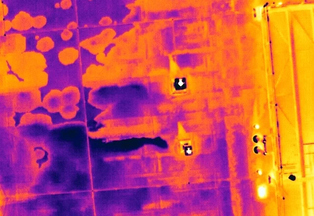
A flat roof is a build-up of layers, and water in the insulation changes how that part of the roof stores and releases heat. It does not make water visible to a thermal camera. What it creates is a lag, a wet zone that cools more slowly than the dry roof around it once the sun has gone. This is how that lag is produced, why the survey is timed to it, and what a warm patch is honestly worth.


Can My Site Be Flown? Drone Separation Distances and What They Mean in Practice
A site owner's question is usually whether a drone is allowed. The regulations answer a different one: how far the aircraft must stay from people who are not part of the operation. That distance is not fixed. It moves with the authorisation the operator holds, the mass and class of the aircraft flown, and how the people on site are briefed. This is what actually decides whether a working site can be flown, and the small part the client plays in it.
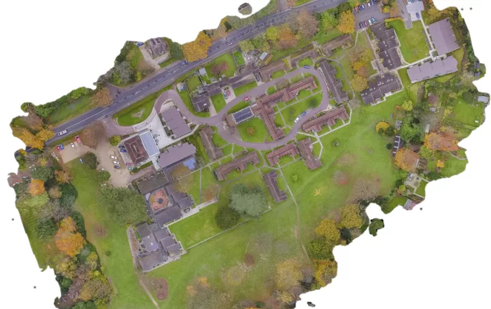

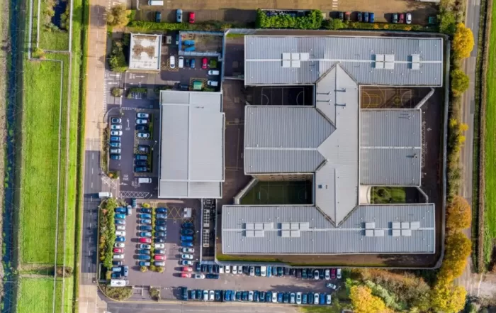
Open Land from the Air: What an Aerial Survey of an Estate Can and Cannot Measure
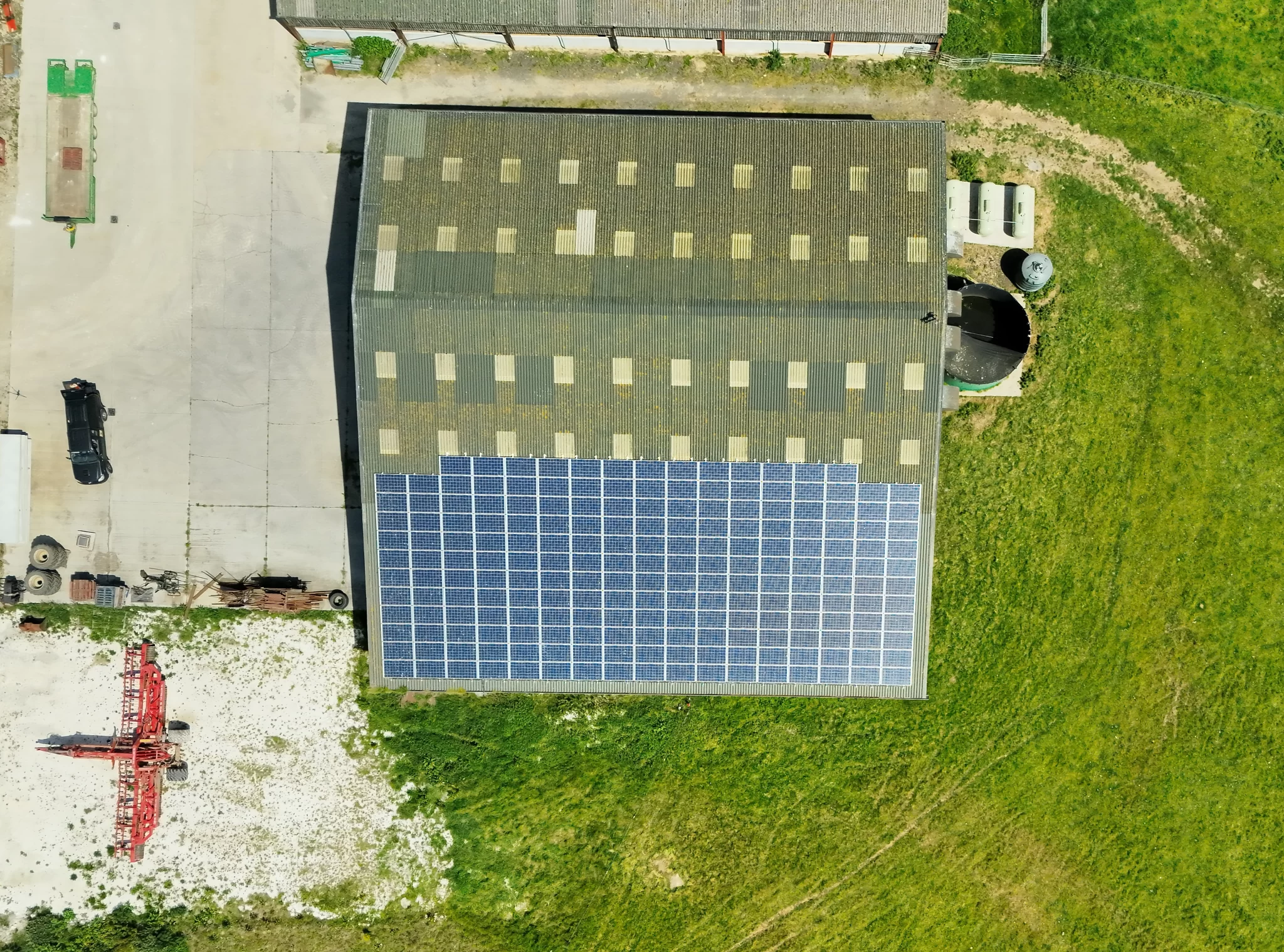
A rural holding is usually recorded in fragments: an old drainage plan, a track that has moved, a boundary everyone agrees on until it is questioned. An aerial survey replaces that with one dated record of the whole site. The decision that matters is whether you need a high quality visual record or positionally accurate survey data, because they look identical on screen, cost differently, and only one of them can be defended. Here is how the two differ, and what the method cannot do.