
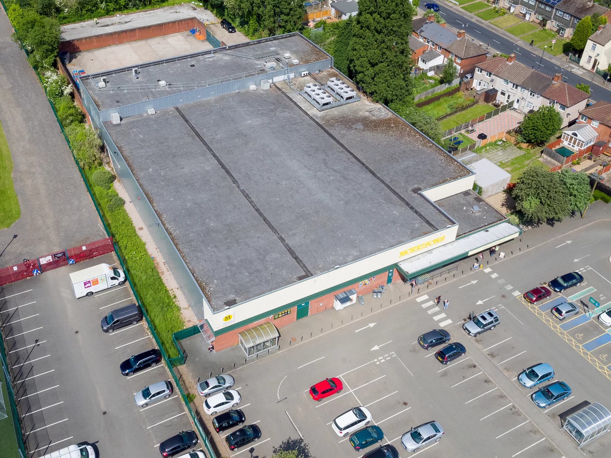
Which Building First?
Anyone responsible for more than one building runs into the same problem eventually. The repair budget is finite, every building is ageing at its own rate, and the information available to choose between them is usually a mixture of complaint history, build date and whoever has been loudest this quarter.
A thermal survey of one building answers a question about that building. A thermal survey of the whole set answers a different question, which is where the money should go first. That second question is harder than it looks, and it is not solved by surveying each building in turn and stacking the reports. Two buildings recorded on different nights, in different weather, with different camera settings, produce two sets of images that cannot honestly be placed side by side. The comparison is the deliverable, so the comparison has to be designed before the first flight rather than attempted afterwards in a spreadsheet.
It is worth being precise about what this produces. It produces a dated, ordered record of how the surfaces of a set of buildings behaved, under conditions somebody wrote down at the time. It does not produce a condition grading, a structural opinion or a repair specification. What it produces is a defensible starting order, which is usually the thing that has been missing.
Blog Content TL;DR...
For anyone holding a repair budget and more buildings than the budget covers.
- A survey of one building answers an absolute question. A survey of a portfolio answers a relative one, and the comparison is the deliverable.
- Comparability is designed in before the first flight. Surveys stacked together afterwards cannot honestly be placed side by side.
- Conditions are logged per elevation and per flight, keyed to a building reference, so a finding on one block can be set beside a finding on another.
- A fixed emissivity suits ordinary brick, render and painted fabric. Across mixed stone it introduces a bias belonging to the setting rather than to the building.
- Anything surveyed outside the protocol is declared rather than quietly ranked, and a material deviation makes the result professional opinion rather than a certified comparison.
The output is an ordered starting point, not a condition grading, and its worth lies in every building having been treated the same way.
The Question a Portfolio Actually Asks
Absolute questions and relative ones
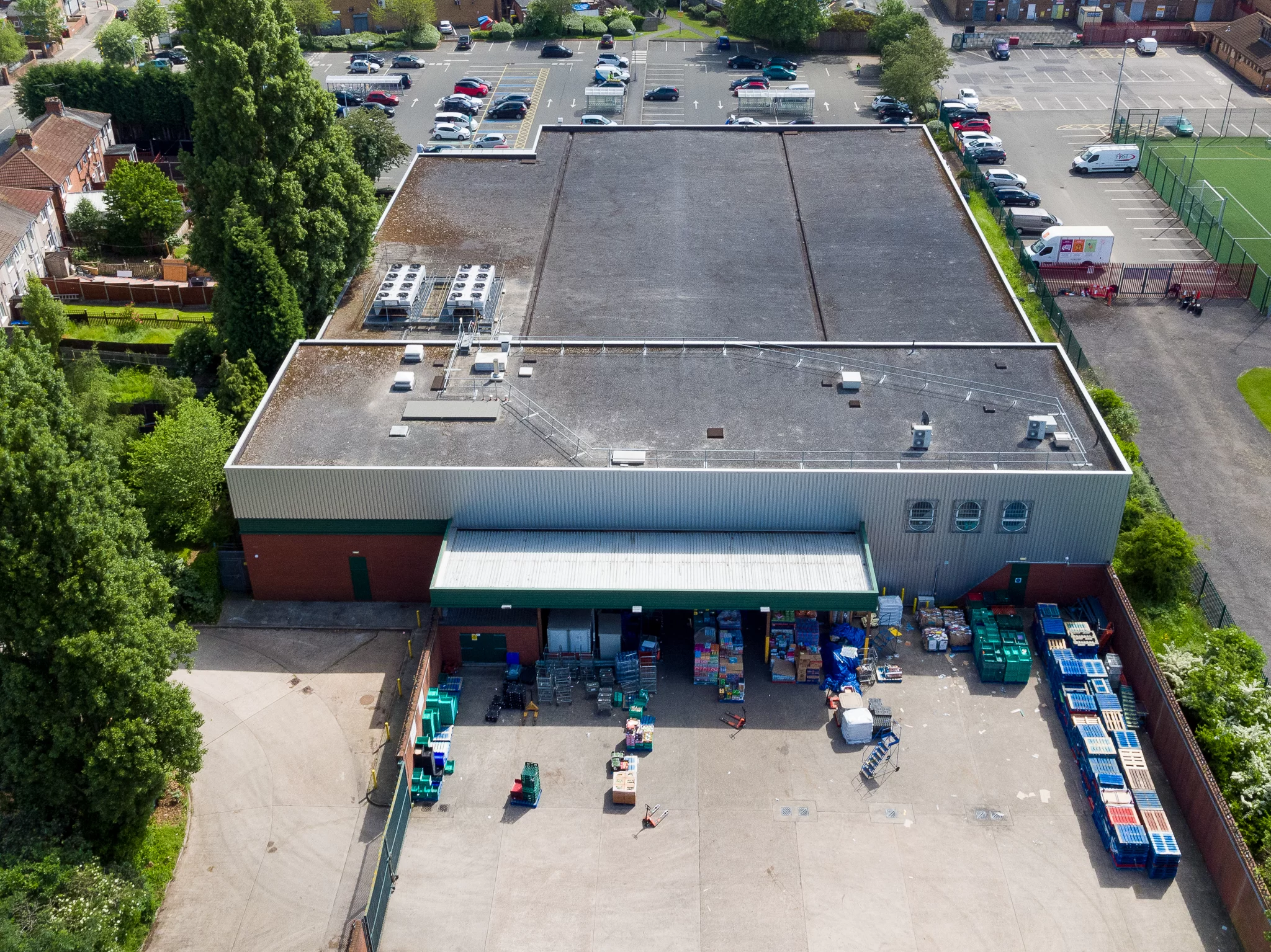
The difference between inspecting a building and comparing buildings is not one of scale. It is a different kind of question, and it changes what the survey has to control.
A single-building survey asks an absolute question. Is there a pattern on this elevation that suggests insulation has slumped, that air is moving through the envelope, or that fabric is behaving as though it is holding moisture. The answer only has to be true of that building, and the conditions on the night only have to be good enough to reveal a pattern at all.
The Unit of Comparison Is the Building
Across a portfolio the question becomes relative. Is this block losing more through its envelope than that one. That answer depends entirely on whether the two surveys were capable of being compared in the first place, because every variable that differs between them shows up in the result as though it were a difference in the buildings.
Outside air temperature is the obvious one. A block flown on a still night close to freezing and a block flown a fortnight later in mild weather will not produce comparable images, because the temperature difference driving heat through the fabric is what makes any pattern visible. Wind is less obvious and matters just as much, since moving air strips heat from an outer surface and can flatten a genuine anomaly into nothing.
thermal survey across a property portfolio, comparing buildings against each other thermally, deciding which building to survey firstthermal survey across a property portfolio, comparing buildings against each other thermally, deciding which building to survey first
What Makes Two Buildings Comparable
Comparability is not a quality of the images. It is a property of the method that produced them, and it is designed in before anybody flies.
Conditions Are Recorded Per Elevation, Not Per Job
A written protocol for this kind of work does not record the weather once and apply it to the whole visit. Air temperature, relative humidity, wind speed and wind direction are taken at the base of the elevation about to be flown, immediately before that flight, and again before the next one. Where the building can be entered, readings are also taken from as high as the stairs allow.
Each record is keyed to a building reference and an elevation, with start and finish times and an estimate of cloud cover. That log is what allows a finding on one building to be set beside a finding on another and argued about honestly.
Camera Settings Are a Decision, Not a Default
Emissivity has to be fixed and held, because it biases every surface temperature read. Ordinary building fabric is forgiving, with brick, render, plaster, painted surfaces and glass all sitting high, roughly between 0.90 and 0.95. A mixed portfolio is less forgiving. Natural stone is far more variable, and a sandstone or granite elevation read at a value chosen for brick carries a bias that belongs to the setting rather than to the building.
Reflected apparent temperature matters in the same way. It is established on site rather than assumed, usually from a crumpled foil reference or a reading of open sky, and applied in analysis. It is a site value, so it is re-established at every site rather than carried over from the last one.
Geometry Is Held, or the Numbers Drift
Standoff distance from the elevation is chosen once and kept consistent across every flight and every face. The camera is kept as close to perpendicular to the wall as the site allows, because emissivity falls away and reflection rises as the viewing angle increases. Overlap is kept modest but real, enough that nothing falls between passes.
Turning the Set Into an Order
A comparable set of surveys is not yet a decision. It becomes one when the findings are ordered, and that ordering is a judgement that should be written down rather than implied.
Ranking Is a Judgement, Made Explicit
Severity is not simply the size of a temperature difference. A large anomaly on a plant room wall may be entirely expected, while a modest one following the line of a wall plate across several floors may matter a great deal more. The report states which criterion was applied, what threshold separates a finding from ordinary variation, and how a finding on one building was weighed against a finding on another. Somebody who was not there should be able to test that reasoning and disagree with it.
Anything surveyed outside the protocol is declared. A building recorded in the wrong conditions, or with a setting changed part way through, does not quietly join the ranking, and where the deviation is material the result becomes professional opinion rather than a certified comparison.
What the Ranking Is Not
It is not a condition grading and it is not a structural assessment. Drone Media Imaging holds no surveying qualification, offers no opinion on the state of a structure, and carries out no repairs, roofing or maintenance of any kind. Every finding is an area warranting further investigation by a suitably qualified contractor, and the imagery exists so that the opening up is done in the right place.
It is also a record of one season. Buildings are altered and occupied differently over time, so the order is current rather than permanent, and its value is that every building in the set arrived at it the same way.
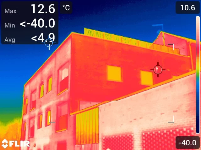
Every flight on a portfolio survey is preceded by a set of readings taken at the base of the elevation about to be recorded: air temperature, relative humidity, wind speed and wind direction. Where the building can be entered, the same readings are taken from as high as internal access allows and logged against the compass face they describe, since a tall block rarely presents the same conditions at its top and at its foot. Instruments and camera are allowed to acclimatise for roughly fifteen to twenty minutes before anything is recorded.
Each row of the log carries a building reference, the elevation, the flight number, an estimate of cloud cover, and the start and finish times. The camera settings applied to that flight are recorded alongside, including the emissivity used, the ambient temperature and humidity entered, and the reflected apparent temperature established on site. The log travels with the imagery, because a thermogram without its conditions is a picture rather than evidence.
Governing Standards and Certification
- Surveys are conducted by Steve Fisher, ITC Level III Certified Master Thermographer (Infrared Training Centre; Certification #205722059).
- Practising in accordance with the frameworks of ISO 18436-7:2014, ASNT SNT-TC-1A and ANSI/ASNT CP-105, with BINDT CMGEN Appendix B as UK training governance.
- Building envelope methodology aligned with BS EN ISO 6781-1:2023, with ISO 6781-3:2015 as a further alignment framework.
- Flight operations are conducted under Drone Media Imaging’s UK Civil Aviation Authority permissions.
- Drone Media Imaging holds no surveying qualification and provides no structural assessment or condition grading.
Tell Us How Many Buildings
Send us the list. Addresses, rough ages, and a sentence about what has prompted this, whether that is a repair budget that will not stretch, a set of blocks nobody has looked at properly in years, or a fabric improvement programme that needs a defensible order of work. You do not need to know what you want yet. Tell us the problem and we will tell you what would answer it, what it costs, and whether a survey is the right way to go about it at all.
Sussex, Hampshire, Kent and Surrey are close-to-home work for us, and we travel throughout the UK, Ireland and Europe where the size of the set justifies the visit. Building thermography is seasonal, so the earlier a programme is scoped, the more of the cold months are available to fly it in.
related posts

Every drone flight takes place in airspace, and airspace begins at the ground. This guide explains, in plain terms, the difference between controlled and uncontrolled airspace, the permanent prohibited, restricted and danger areas, the hazards marked on the chart, and the temporary restrictions that can appear over a site at short notice. It sets out how Drone Media Imaging checks a site before quoting and again before flying, and what a client should expect to hear back about the booking.
A flat roof is a build-up of layers, and water in the insulation changes how that part of the roof stores and releases heat. It does not make water visible to a thermal camera. What it creates is a lag, a wet zone that cools more slowly than the dry roof around it once the sun has gone. This is how that lag is produced, why the survey is timed to it, and what a warm patch is honestly worth.
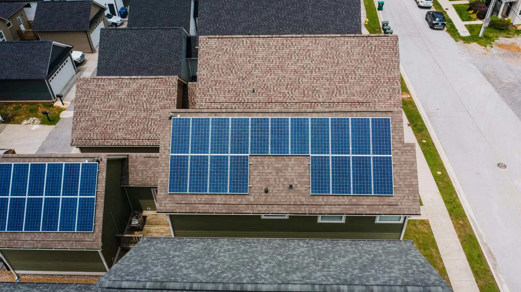
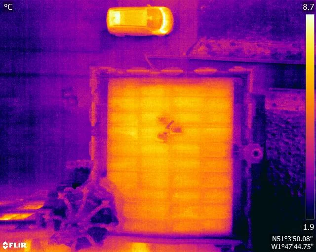
A domestic solar array has no moving parts, makes no noise and sits out of sight, so nothing about a developing fault announces itself. The generation figure an owner can see is one number for the whole system, and a genuine loss can sit inside the ordinary variation of British weather. Drone Media Imaging looks at what those figures do and do not tell you, and why periodic thermographic survey examines the array itself rather than its aggregate output.



