
The Day of Capture Decides What the Data Is Worth
A survey flight produces a set of photographs and a set of positions, and that is the entire raw material. Everything that happens afterwards, the matching, the reconstruction, the corrected image, is interpretation of those files. Processing can extract a great deal from a good capture and it can extract nothing at all from a gap. If a corner of the site was in shadow, it stays in shadow. If the camera stopped triggering halfway down a line, the frames do not exist. If the ground control was never measured, no amount of desk time creates a measurement.
That asymmetry is the whole argument of this piece, and it is the opposite of what most buyers assume. The office is where the work looks impressive, so it is easy to imagine that the office is where the quality comes from. It is not. The office is where the quality already present is either preserved or thrown away.
Which makes the day on site the expensive day, and the flying window the perishable part of it. Light moves, wind gets up, the client’s access expires at four o’clock, and the contractor who let you onto the yard wants his lorries back. Everything that can be decided in advance is decided in advance precisely so that nothing has to be improvised in a field, because a decision taken in a field under time pressure is the one that shows up three weeks later as a soft patch in the surface model.
Blog Content TL;DR...
Why the quality of an aerial dataset is settled on the day it is captured, and what the office genuinely cannot repair.
- Capture is the raw material, processing is interpretation. The reconstruction can only work with what was photographed, so a gap in the imagery stays a gap.
- Conditions bind more tightly than equipment does. Even diffuse light, dry surfaces and a sensible time of day are worth more to the result than anything carried on the aircraft.
- Ground control has to go where the camera can see it, on flat ground, and it has to still be there at the end of the day on a site other people are working.
- Quality is not observable on site. Coverage, overlap and the strength of the reconstruction cannot be judged in a field, so a capture that will fail looks exactly like one that will succeed.
- The checks before leaving are about counts, sharpness and records, because those are the only things a visit can verify while there is still time to act on them.
Everything the office can do, it does with what the day gave it.
The Flight Is the Only Moment the Data Exists
Processing interprets what was captured, it does not add to it
The reconstruction works entirely from correspondences between photographs, and every product that follows is derived from it: the surface model, the corrected image, the contours, the volumes. So the ceiling on the result is the ceiling on the imagery, and the imagery is fixed at the moment the shutter closes. The software has no second source to consult and no way of asking what the site looked like from an angle nobody flew.
This is why the checks that matter most on site are so unglamorous. Open one frame from each pass, zoom into it, and look. Is it sharp? Is the exposure sensible? Is the lens clean and the focus locked where it should be? That is thirty seconds of work, and it is the highest-value thirty seconds of the day, because a soft frame is soft forever and a block flown slightly out of focus is a wasted visit that nobody notices until the data is on a desk.
The same logic applies to counting. File counts are checked on the card between sorties against the figure the mission was planned to produce, not against a recollection of roughly how many there ought to be. A camera that quietly stops triggering partway down a line is a ten-minute problem while the aircraft is still on site and an unrecoverable one the following week. Positioning behaves identically: the base receiver either logged throughout or it did not, and nothing can be logged retrospectively.
What none of this amounts to is judgement, and that is the uncomfortable part. Coverage, overlap and the strength of the reconstruction are not observable in a field at all, which means a capture that will fail looks exactly like one that will succeed. A folder of sharp images is not evidence that the survey worked. It is evidence that the images are sharp, and the gap between those two statements is the reason the plan is followed rather than assessed.
why aerial data quality is decided on site, what happens on the day of an aerial capture visit, what cannot be fixed in processing afterwardswhy aerial data quality is decided on site, what happens on the day of an aerial capture visit, what cannot be fixed in processing afterwards
What the Site Itself Decides Before a Single Frame Is Taken
Light
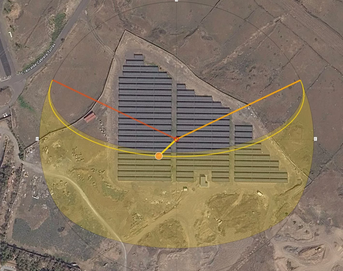
Even, diffuse overcast is the ideal, which tends to surprise people who assume a survey wants a bright day. Hard low sun throws long shadows, and a shadow is not simply a dark area, it is an area the reconstruction has nothing to match on. Low sun also biases the ground model, because shadow edges shift between frames and the software has to decide what they are. The middle of the day, with consistent shadow, is worth considerably more to the result than a blue sky at eight in the morning.
Wind and wet ground
Wind matters less as an aircraft limit than as a source of image blur at the chosen shutter speed, and blur is not recoverable by any amount of processing. Standing water and wet reflective surfaces defeat matching outright, because a puddle looks different from every angle and a wet road reflects the sky rather than showing its own texture. Where the surface is wet, the honest answer is to postpone rather than to fly and hope the software copes with it.
Where the control can physically go
Ground control has to sit somewhere the camera can see it from overhead, on genuinely flat ground, clear of anything casting a shadow across it, and somewhere it will still be at the end of the day. A live access road, a working yard or a site with other contractors on it changes every one of those answers. The walk round on arrival is not a formality, it is a comparison between the ground in front of you and a plan that was only ever a hypothesis about last week.
What is growing and what is moving
Vegetation decides how much bare ground a terrain model can ever see, and that is a property of the week rather than of the equipment. Vehicles, plant and people move between frames and arrive in the data as noise. Neither is a defect to be corrected afterwards. Both are conditions to be recorded at the time, so that what the dataset can and cannot support is stated rather than assumed, and so that a repeat visit can be flown against the same conditions rather than against different ones.
The Last Half Hour, Before the Van Doors Close
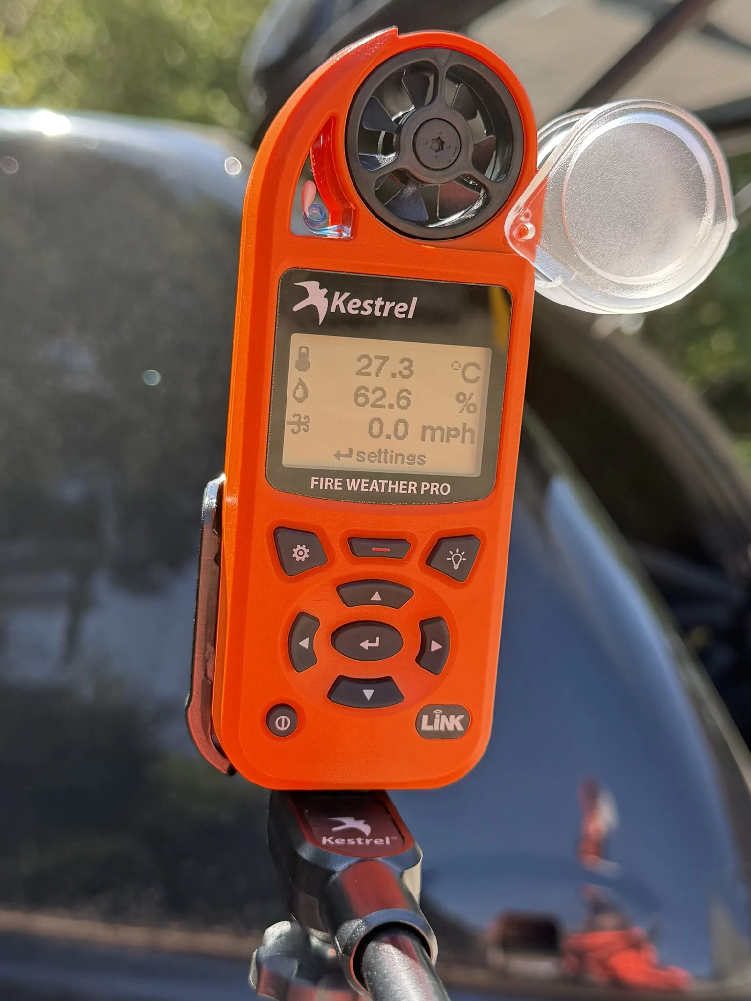
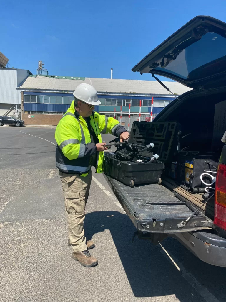
Every capture visit ends with a fixed set of checks, made while the aircraft is still out of its case and the site is still accessible. Did each mission run to completion rather than stopping early? Is the file count on the card close to what the plan expected, pass by pass? Did the base log run from before the first flight until after the last, and was it closed properly? Was the antenna height written down, and written down against a stated reference? Were the control and check points recorded, with the check points marked as check points so they can be withheld later?
Why the list is about records rather than quality
Because records are the only thing a site can actually verify. The temptation is to widen the check into a judgement about whether the survey is any good, and that judgement cannot honestly be made until the data has been processed. So the gate stays narrow and mechanical, and it earns its keep precisely because it is dull. A shortfall found here is a walk back to the take-off point. The same shortfall found after delivery is a return journey at somebody’s expense and an argument about whose. That is the whole economics of the day, and it is why the discipline sits at the end of the visit rather than at the start of the processing.
How a Capture Visit Is Governed
- Flight parameters, including height, resolution and overlap, are derived from a stated requirement for the job rather than from a default, and are recorded so that a later visit can be flown to the same specification.
- No survey design decision is taken on site. Anything unexpected is handled from a contingency written in the office before travel, and where a situation is not covered, more is captured rather than less and the matter is resolved at the desk.
- Conditions on the day, including light, wind, ground state and vegetation, are recorded at the time and reported with the dataset, so that what the data can and cannot support is stated rather than assumed.
- Image counts are reconciled against the camera’s own event log, and base logging times against flight times, before the site is left.
- Ground control and check points are surveyed and recorded with their identifiers, fix status and precision, check points are marked so that they can be withheld from the adjustment, and where control could not be measured the reason is recorded rather than filled in afterwards.
- Where positional accuracy is sold, it is evidenced by independently measured check points withheld from the adjustment and reported as a measured result for that survey. Where it is not sold, no absolute position is claimed, and no tolerance is quoted in advance.
- Flight operations are conducted under a Civil Aviation Authority Operational Authorisation held against the PDRA-01 standard scenario, with a General VLOS Certificate (GVC) and an A2 Certificate of Competency.
- Drone Media Imaging provides survey, mapping and reporting services. No chartered surveying designation is held or implied, and findings are areas warranting further investigation by a suitably qualified contractor.
Tell Us the Site and What Has to Be Visible in the Result
Send the site location, roughly the area, and the smallest feature that has to be identifiable in the result. If the position has to be defensible later, say so, because that decides whether the day includes measured ground control and withheld check points. You will get a fixed price back with the deliverables written into it in plain words, and a straight answer if the conditions on your site mean a different method would serve you better. We work across Sussex, Hampshire, Kent and Surrey, and travel throughout the UK, Ireland and Europe.
related posts

Roof inspection by drone is a crowded service, and most of it is genuinely the same. What varies is whether the photographs answer the question that prompted the enquiry. This post looks past the flying at the images themselves: why distance, angle and light decide what a frame resolves, how a detail shot becomes evidence when a wider frame places it on the building, and the things no photograph of a roof will ever tell you.
Thermal Fire Monitoring Following a Grain Store Terminal Explosion
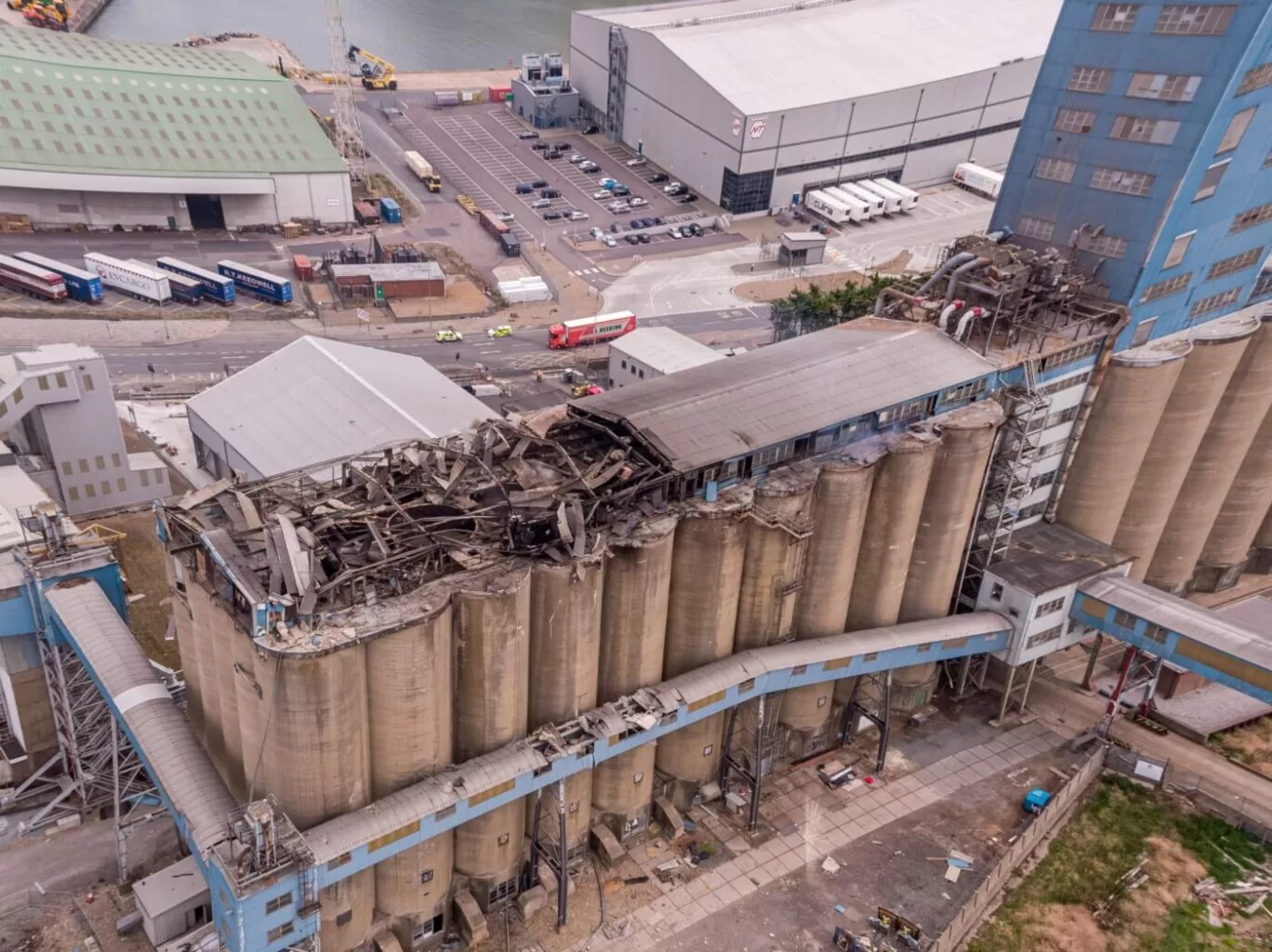
Grain Store Explosion and Year-Long Fire – July 5, 2020 – Tilbury Port, London On July 5, 2020, a series of events (possibly by a spark) triggered a large dust explosion and a subsequent fire at the Grain Store Terminal at the Port of Tilbury in London. This was a serious event that required the attention of a large-scale emergency response to get the subsequent grain fire under control and avoid additional explosions. No one was seriously hurt, which is nothing short of a miracle given the number of people on the scene and the amount of reinforced concrete and debris thrown high into the sky before raining down on the surrounding buildings.
Traditional firefighting methods and techniques are ineffective in the case of grain storage fires. Using water to extinguish the inferno is ineffective with grain and dust fires, and the added weight might have caused a catastrophic structural collapse, exacerbating an already challenging situation. As a result, London fire teams were on the scene for days while a proper fire strategy and plan was developed and implemented, with staff always remaining on-site to monitor the situation over the following weeks.
Throughout this early period, there was always the possibility of more explosions and the fire spreading since the grain stored in the linked silos generates dust that may ignite if the temperature is high enough. Drone Media Imaging was contracted to fly thermal imaging flights to collect temperature data to estimate fire spread and track fire management efforts over time. For instance, were the temperatures rising, falling, or remaining constant?
We began operations on July 7, 2020, flying three flights each day, seven days a week initially, to compare temperatures and report back to crisis management teams and emergency service gold commanders. We eventually completed our thermal imaging missions one year and a month after the initial Grain Store explosion in late August 2021! While not all of the silos were full with grain, many were, and several were burning at temperatures far beyond 800°C. Before the fire could be quenched, the building had to be entirely demolished. Temperatures more than 80°C were still being recorded in the grain that remained on the ground after demolition 13 months later.
Gaining safe access to the terminal to fly was not without difficulty, as emergency services had imposed a 50m exclusion zone surrounding the terminal due to the possibility of additional explosions. As a result, our risk assessments and method statements had to be developed specifically for this circumstance and rigorously tested to assure both safe drone flights and the most accurate thermal data gathering at this vital juncture.
We continued to provide the Port of Tilbury London and the accompanying emergency services with daily and weekly calibrated temperature measurements that documented the progress of the grain store fire over 13 months. As thermal infrared aerial specialists, we provided data in the form of detailed reports, thermal imaging, RGB photographic and video footage.
Most survey enquiries ask for high resolution without saying what the result has to do. Detail in a photogrammetric survey is not a setting applied in processing, it is a consequence of how high the aircraft flew and how much each photograph overlapped its neighbours. Both are fixed before take-off and neither can be improved afterwards. This piece explains what those two decisions control, what they cost in flying time, and why the useful thing to bring to a scoping conversation is an intention rather than a number.



