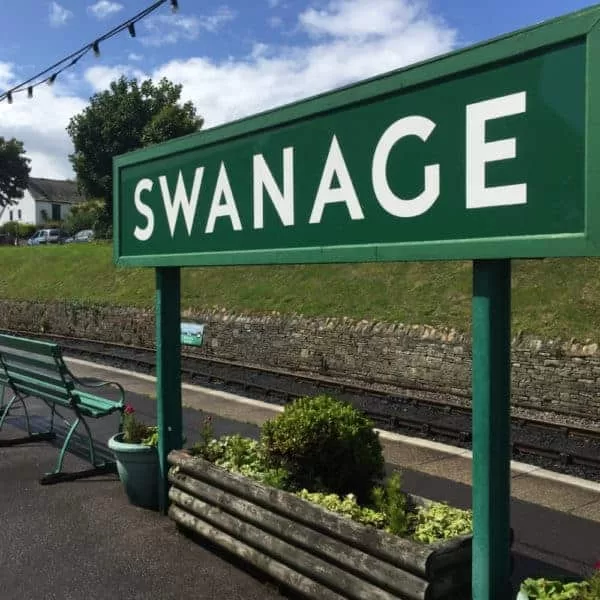
We were delighted to be invited to come and film alongside the team from the BBC’s The One Show down at the Swanage Railway.
We were part of an article that they were creating regarding the rejoining of the Swanage train station to the main railway line, something that’s been achieved through a huge amount of work by a team of volunteers in a large part. We were to provide aerial footage of the beautiful steam engine puffing its way along the route – the chocolate box Dorset countryside and you really couldn’t ask for a more picturesque backdrop.
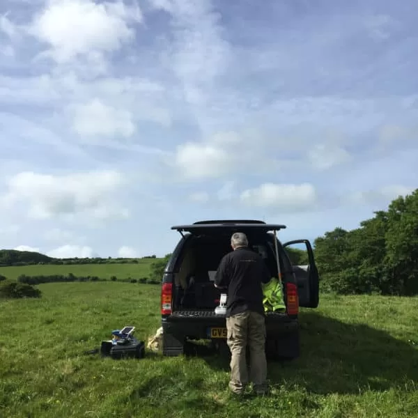
A very friendly farmer allowed us to use his field as a takeoff and landing site as it was adjacent to the rail track, giving us the opportunity to get beautiful views of the train as it headed over from Corfe Castle towards Swanage. Then we moved off to Norden station where we were able to interact even more closely with the train as it left the current final station on the line, filming almost trackside to create rising views of the drone disappearing into the steam plumes as the engine chugged beneath.
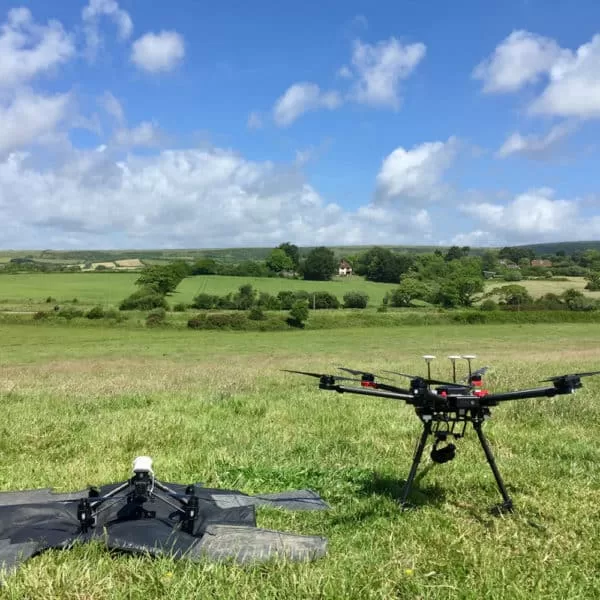
Despite relatively high winds on the day, our Matrice and Inspire fleet of craft were more than equal to the task of creating stable and stylish footage to capture both the engine and the environment with plenty pieces of the footage being used in the finished piece on BBC 1.


Why an Aerial Thermal Survey Is Booked Against a Window, Not a Date
An aerial thermal survey records a temperature difference, and that difference has to exist when the image is taken. Conditions are therefore not a preference but a precondition, and different assets want opposite weather: a photovoltaic array needs bright, stable sun, a building envelope needs a cold night after dark. This piece sets out what the standards ask for, why each figure exists, and what booking against a window rather than a date means in practice.


What Turns Inspection Photographs Into a Record You Can Use Later
An inspection happens on one morning, but its photographs are usually needed months later by somebody who was not there. What makes them usable then is not the drama of the aerial view. It is whether each observation is marked where it sits, whether close detail is paired with a frame that places it, whether coverage is systematic enough that absence means something, and whether the set can be navigated at all.


Flying a Drone Near an Airport: What a Flight Restriction Zone Means for Your Site
Plenty of commercial property sits close to an airport, and a Flight Restriction Zone reaches well beyond the perimeter fence. A site two miles from a runway, with no view of it, can still sit squarely inside the zone. This post explains what those zones cover, the three separate permissions that people tend to treat as one, why the airspace approval is assessed flight by flight rather than granted once, and what to tell your operator before the date is agreed.