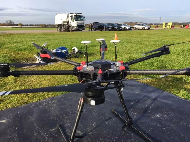
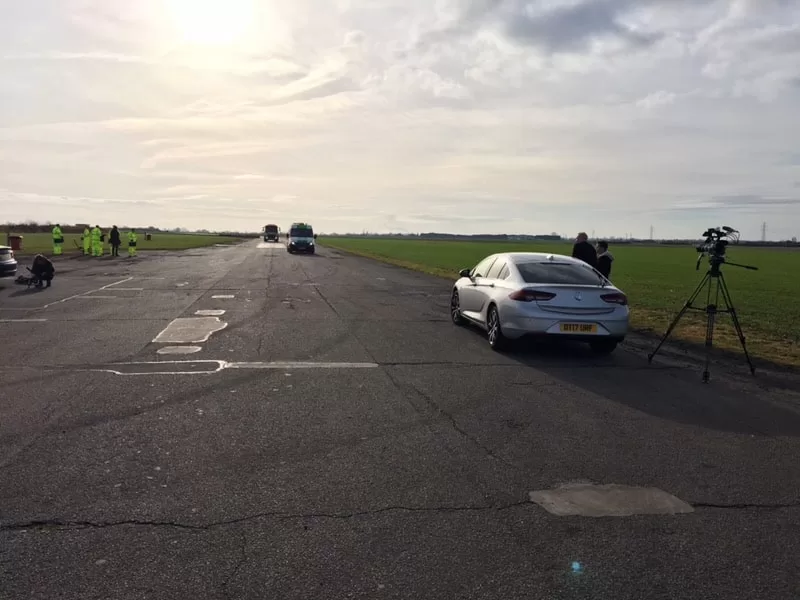
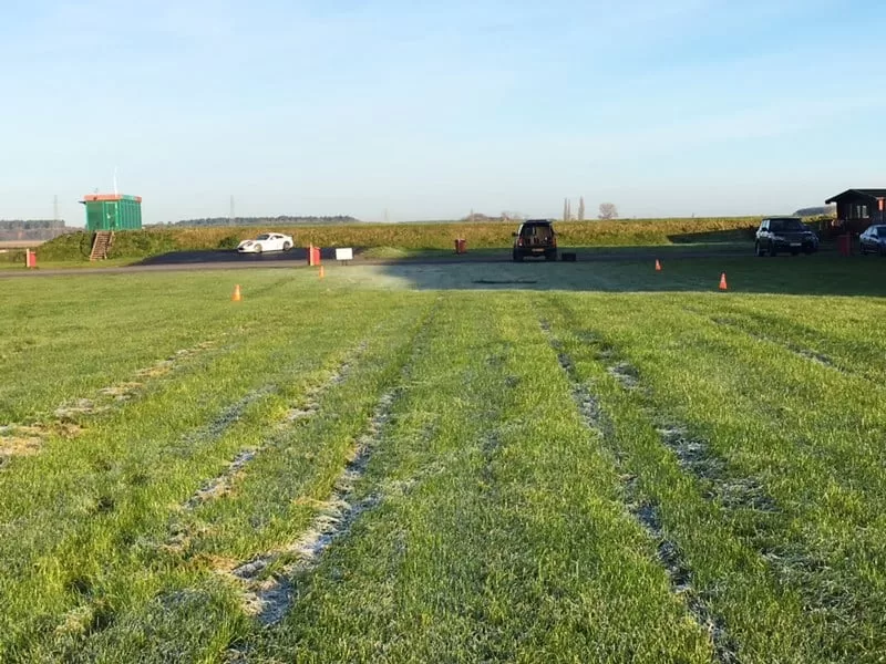
A cold and frosty morning in Doncaster at Blyton Park Driving Centre – out with the drones and the BBC One Show team filming an article about potholes!
The One Show’s presenter Iwan Thomas presents the piece and overseas the competition judged by some eminent people in their field, Victoria Hazael (Cycling UK), Vince Crain (The AA), Keith Jones (Institution of Civil Engineers). The filming took place on Blyton Race Track in Lincolnshire, where three large potholes were repaired and reviewed. They will be testing out pothole repair technologies on the racing circuit itself and we will be providing supporting cinematography from an aerial perspective!
Watch the One Show here: https://www.youtube.com/watch?v=UPqk2OEMYpU
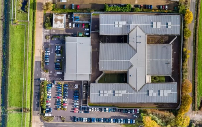
Open Land from the Air: What an Aerial Survey of an Estate Can and Cannot Measure
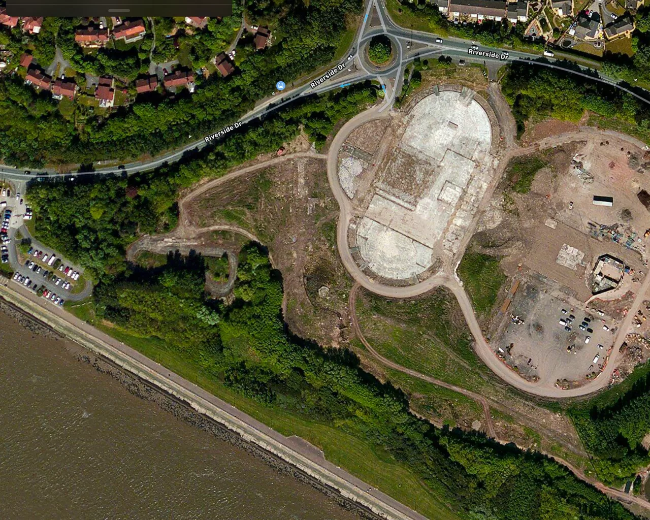
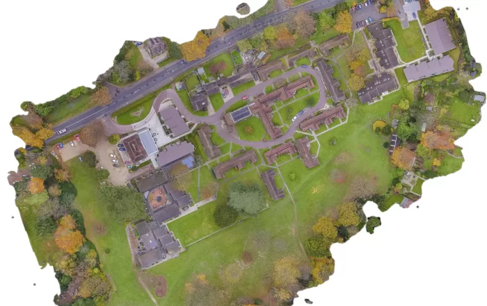
A rural holding is usually recorded in fragments: an old drainage plan, a track that has moved, a boundary everyone agrees on until it is questioned. An aerial survey replaces that with one dated record of the whole site. The decision that matters is whether you need a high quality visual record or positionally accurate survey data, because they look identical on screen, cost differently, and only one of them can be defended. Here is how the two differ, and what the method cannot do.
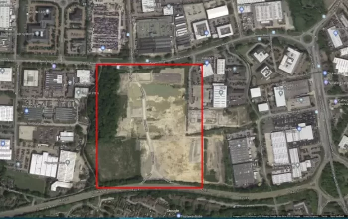
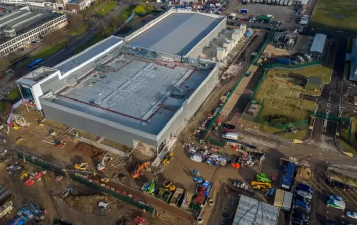

Flown the Same Way Each Visit: The Aerial Progress Record on a Construction Site
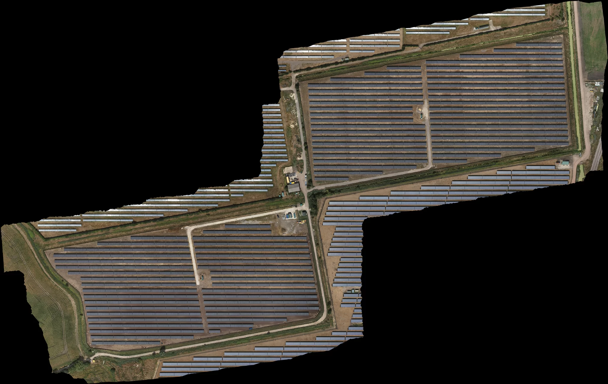
A construction site changes faster than almost any ground we fly, and the question asked six months later is usually about a day that has already passed. Repeat aerial capture answers it, but only if the visits are genuinely comparable. This piece sets out what has to stay fixed between flights, the ground sample distance, the overlap and the time of day, why control is re-established on every return, and where the method stops.
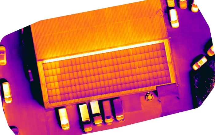
A Thermal Picture Is Not a Finding: What a Solar PV Survey Report Has to Carry
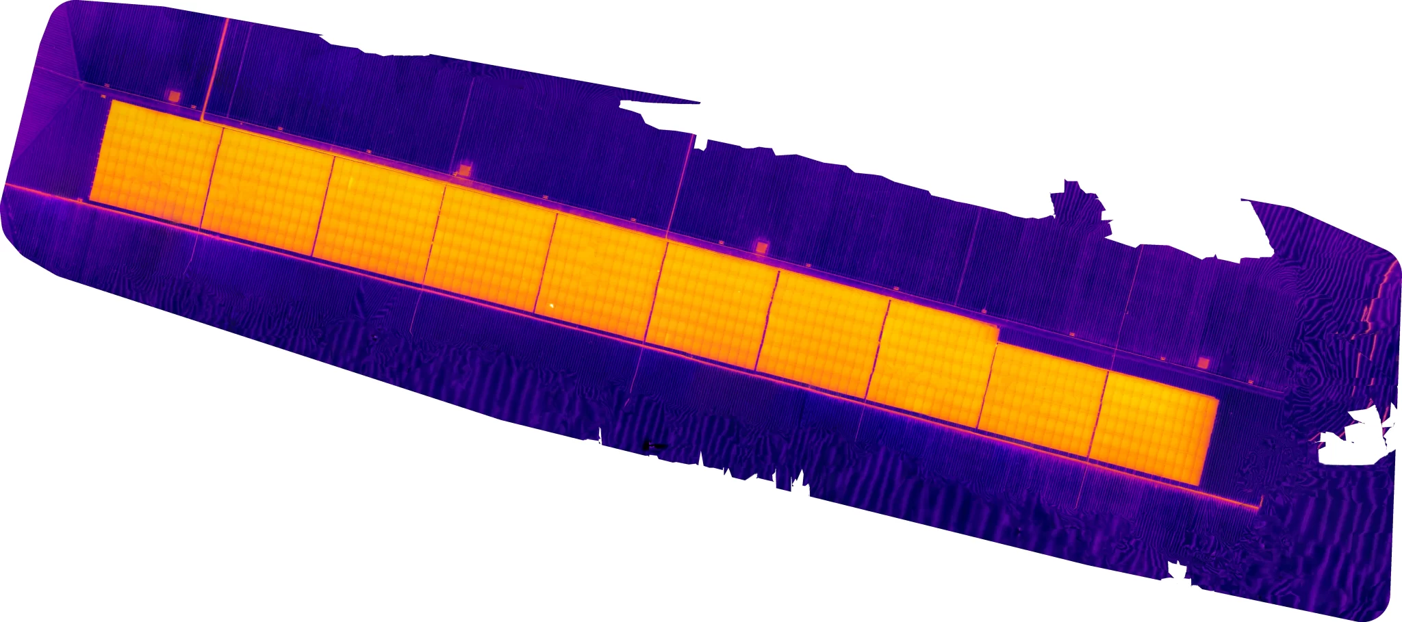
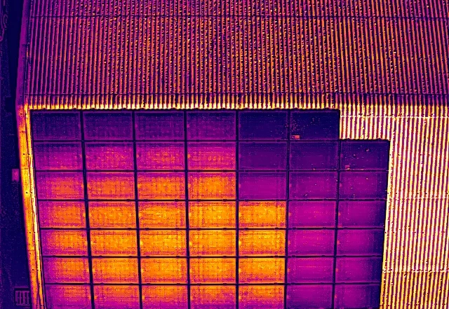
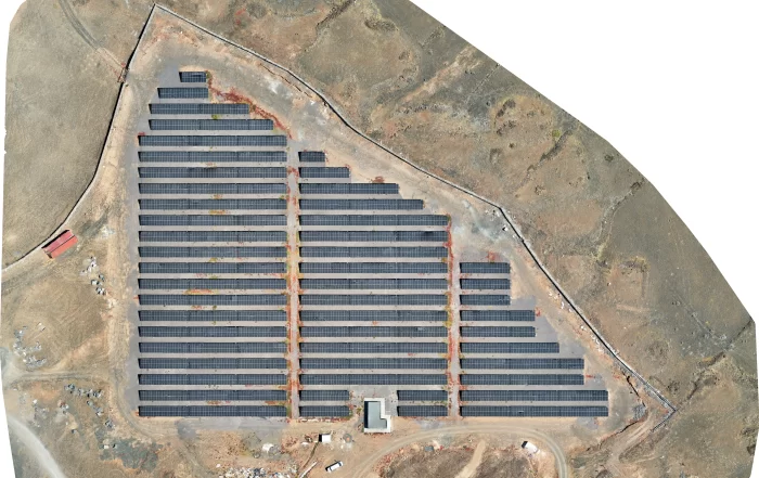
A thermal image shows that something on a solar array is warmer than its neighbours. It does not say which module, how much warmer than what, how serious it is, or what should happen next. This is what turns an anomaly into a located, classified and prioritised finding, what the reporting requirements of IEC 62446-3 ask a survey report to carry, and why that document is a different object altogether from a set of thermal pictures.