
Aerial Survey of Open Land
Most rural land is recorded in fragments. A drainage plan drawn decades ago, a track that has been moved twice since, a stockpile nobody has measured, a field edge everyone agrees on until the day somebody needs to prove it. None of it is exactly wrong, but very little of it is current, and almost none of it sits in one place.
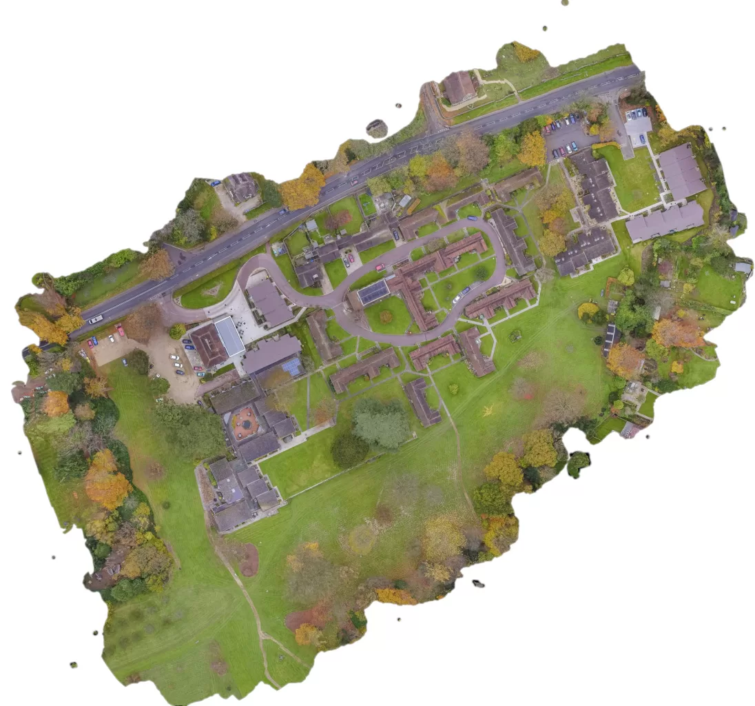
An aerial survey does something quite specific about that. It produces a single dated record of the whole holding, captured in a morning, in which every visible feature sits in its correct position relative to every other feature. Tracks, gateways, watercourses, culvert outfalls, hardstanding, spoil heaps, the scrub quietly advancing from a hedge line. It is not an opinion about the land. It is a record of what was visibly there on the day it was flown.
What matters more than most people expect is whether that record is a picture or a measurement. The two look identical on a screen. They are captured differently, they cost differently, and only one of them can be defended if it is ever questioned. Deciding which you actually need is the most useful conversation to have before anyone flies anything, and it is the subject of this piece.
Blog Content TL;DR...
The short version, for anyone deciding whether an aerial survey of their land is worth commissioning.
- An aerial survey gives you one dated record of the whole holding, captured in a morning, in which every visible feature sits correctly relative to every other.
- The distinction that matters is not resolution but class: a high quality visual record, or positionally accurate survey data that can be defended.
- Independently withheld check points are what turn an expectation of accuracy into evidence of it, and the resulting figure belongs to that survey on that day.
- A survey with no ground control can look perfect and still sit slightly in the wrong place, with every internal quality check passing.
- The method sees only what the camera sees: nothing underground, no bare earth beneath closed canopy, and no drawings, legal boundaries or condition grading.
Decide whether you are buying a picture or a measurement before anyone flies, because it changes the day, the cost and what you can claim afterwards.
What an Aerial Survey of Open Land Actually Records
Why the site type is the first question asked, and what one morning on site produces
The site type is the first question
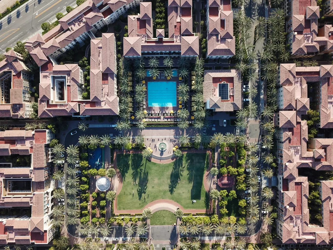
Before any decision about flying height, camera or pattern, the useful question is what kind of site this is. Open ground behaves differently from a building site, a woodland block or a roof, and the difference is not cosmetic. On open land the features that matter tend to be linear and low lying: field boundaries, tracks and gateways, watercourses and drainage runs, hardstanding, and whatever spoil or stockpile has accumulated in a corner. Those features decide how finely the ground must be sampled, which decides how the flight is planned, which decides how long the day takes. A survey designed to resolve a drainage grip is simply a different flight from one designed to show the extent of a paddock, and agreeing which one you are buying is the first thing worth settling.
What comes back from a morning on site
The main product is an orthomosaic, a single seamless image of the whole holding in which the natural distortion of aerial photographs has been corrected, so that distances measured across it behave consistently rather than stretching towards the edges. Alongside it sits a surface model describing the height of everything the camera could see.
Between them they answer the ordinary questions a land manager tends to ask. How far is it from that gate to the far corner? How much material is sitting in that heap? Where does water actually run when the field floods, as opposed to where the old plan says it should? How much has this edge moved since anyone last looked properly?
Ground control is the other half of the work, and open land is the site type that makes it straightforward. Targets can go around the perimeter and through the middle, spread across whatever change in elevation the site offers, using the access routes that already exist. Very few sites are as accommodating.
What an Aerial Survey of Open Land Can Measure | Tracks, Drainage and Field Edges From Above | A Picture or a MeasurementWhat an Aerial Survey of Open Land Can Measure | Tracks, Drainage and Field Edges From Above | A Picture or a Measurement
The Line Between a Picture and a Measurement
Two products, not two grades of one
There are two genuinely different things an aerial survey can produce, and treating them as a cheap version and an expensive version of the same thing is where the trouble starts. The first is a high quality visual record, internally consistent, in which measurements taken between two points on the image are reliable relative to each other. The second is positionally accurate survey data, which additionally knows where it sits in the real world, in a stated national coordinate system, to a degree that has been measured and can be quoted. The first is bought for condition records, area maps, progress monitoring and indicative volumes. The second is bought for design, valuation, volumes that someone is being paid against, compliance, and anything likely to end up in a dispute.
What makes the difference defensible
The mechanism that separates them is ground control, and specifically the points deliberately withheld from the calculation. Control points pull the model onto the real world, but they prove nothing on their own, because the model has been fitted to them. Withheld points are measured independently and never shown to the software, so the difference between where they were surveyed and where the finished model puts them is genuine evidence rather than expectation. That difference is the accuracy statement, it belongs to that survey on that day, and it appears in the report rather than in a brochure.
The uncomfortable part is that a survey with no control looks exactly the same on screen. It can be sharp, detailed and beautifully stitched, and still sit as a whole in slightly the wrong place while every internal quality check passes. The most dangerous error in this work is the consistent one, where everything agrees with everything else and all of it is wrong together.
What the Method Cannot Do, and Why to Say So Early
The limits are part of the specification
Every survey method has a boundary, and the honest place to describe it is at scoping rather than at handover. Aerial photogrammetry sees what the camera sees, which means it sees nothing underground and nothing beneath a closed canopy. Bare ground cannot be modelled through established woodland, so a terrain model under trees is not a deliverable and should never be sold as one. Vegetation and crop height are part of the surface being measured, not a transparent layer above it, which matters enormously on repeat visits: two surveys of the same field in different seasons are measuring two different surfaces. Where change over time is the point, the season, the conditions and the control positions all need to be matched deliberately from the very first visit, because none of it can be retrofitted afterwards.
What is supplied, and what is not
The service is capture, processing and reporting. It produces raster imagery, surface models and point clouds, not drawings: there is no vectorised linework or CAD output, and an as built plan in this context means a georeferenced image rather than a draughted one. It does not determine legal boundaries, and it offers no chartered surveying designation, structural opinion or condition grading. What it gives a land manager is an accurate, dated and repeatable record of the visible surface, which is usually exactly what was wanted, provided nobody assumed it was something else.
Photogrammetry work here is quoted in one of two named classes, chosen at scoping, stated in the quotation and repeated on the deliverable, so that a file name or an email can never be read as the wrong one.
The mapping class produces the orthomosaic and models without an absolute positional claim. Ground control may still be used where it improves the internal consistency of a large or awkward block, and that is recorded as what was done on site rather than as a third product. Nothing was withheld, so there is nothing to measure against, and the deliverable carries an explicit statement to that effect.
The survey class requires ground control and independently withheld check points, and reports the measured error separately in each axis against those points. Delivery defaults to the national grid with heights on the national datum, with the transformation used written into the processing record.
Where the two are genuinely hard to separate at scoping, that is itself the signal to specify the survey class.
The Frameworks This Work Is Produced Against
- British National Grid, EPSG:27700, as the default delivery coordinate reference system, with heights to Ordnance Datum Newlyn, unless the client states a different requirement at scoping.
- OSTN15 for the horizontal transformation and OSGM15 for the vertical, applied within the processing software and recorded in the processing report.
- Ellipsoidal and orthometric heights stated explicitly on every deliverable, never quoted as one another.
- Flown by a CAA qualified remote pilot under the operator’s own operational authorisation and Operations Manual.
- Scope limited to capture, processing and reporting. No chartered surveying designation is held, claimed or implied, and no legal boundary determination is undertaken.
- Accuracy reported as a measured result for the survey in question, never offered in advance as a generic capability.
Thinking About Mapping Your Land?
Drone Media Imaging plans and flies open land surveys across Sussex, Hampshire, Kent and Surrey, travelling throughout the UK, Ireland and Europe. Tell us what the record is for and we will tell you honestly which class of survey it warrants, before anything is quoted.
related posts

Roof inspection by drone is a crowded service, and most of it is genuinely the same. What varies is whether the photographs answer the question that prompted the enquiry. This post looks past the flying at the images themselves: why distance, angle and light decide what a frame resolves, how a detail shot becomes evidence when a wider frame places it on the building, and the things no photograph of a roof will ever tell you.
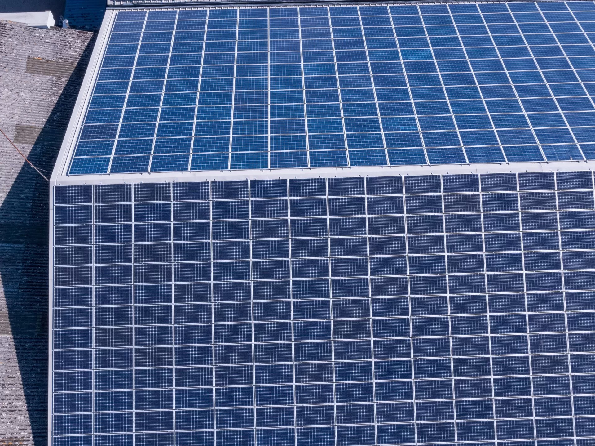
Spring and summer are peak months for solar energy production—ensure your panels are operating efficiently with a professional thermal imaging inspection. Compliance with IEC62446-3:2017 is essential for both commercial and domestic systems, helping to prevent faults, optimise performance, and maintain insurance coverage. Book your inspection today!

Ask what temperature difference proves a roof is wet and you will be given a number. It is the wrong answer to the wrong question. A thermal camera measures surface temperature, arrived at through emissivity, reflection and viewing angle, and what identifies trapped moisture is behaviour over time rather than magnitude. This post covers what the camera is really reading, why saturated material lags behind dry material as a roof cools, and the conditions that decide the result before anyone flies.



