

Sharing the air below 120m
Most people picture a drone survey as a machine working alone over a quiet site. The air below 120m is busier than that. Air ambulances, police helicopters, light aircraft, powerline and pipeline inspection flights, crop spraying and military low flying training all have legitimate business in the same band of sky a drone works in, and none of them is obliged to know a survey is happening unless somebody tells them.
That is the part of a commercial flight the client rarely sees. Before a Drone Media Imaging aircraft leaves the ground, somebody has already built a picture of what else might reasonably appear overhead, decided how it would be spotted, and agreed what happens to the drone if it does. It is not a form filling exercise and it is not a box to tick after the fact.
This piece sets out how that picture is built, what the low flying system actually is, and why see and avoid, a principle written for manned aviation, still decides the outcome when a helicopter appears over a hedge line without warning. It also explains what it means for your site and your date, because the answer occasionally is that the flight moves.
Blog Content TL;DR...
Who else uses the air a drone works in, and how a commercial operator keeps out of their way.
- The 120m height limit reduces the chance of meeting manned aircraft, it does not remove it.
- Air ambulances, police helicopters, light aircraft, infrastructure inspection and crop spraying all work legitimately at low level.
- Military low flying covers the open airspace of the whole country from the surface to 2,000 feet, with no fixed routes.
- A low level flight can be notified in advance so it appears on the military planning picture, but notification is awareness, never clearance.
- On site it comes down to look-out, high visibility clothing and a decision to descend that is agreed before the flight starts.
Separation at low level is not given by the rules, it is built by the operator beforehand.
The air below 120m is shared
Who else is down there

The air below 120m is not empty
A drone in the Open category is held below 120m, measured from the closest point of the earth’s surface, and that limit exists partly to keep it under the height most manned aircraft use. The Civil Aviation Authority is explicit that the limit is a reduction in risk rather than a removal of it, and its own guidance tells every operator to look and listen for aircraft that may be flying below 120m.
The list is longer than most people expect. Air ambulances and police helicopters go where the incident is. Light aircraft join and leave small airfields that may carry no restriction zone at all. Powerline and pipeline inspection flights follow infrastructure at low level, crop spraying works field by field, and military training uses the whole country.
Why a height limit is not deconfliction
Keeping a drone low separates it from airliners and from most transit traffic. It does nothing about anything that has a working reason to be at the same height. A survey flown well below the limit over a commercial roof sits squarely in the band a helicopter would use to route around a town, and neither aircraft is doing anything wrong.
So separation at low level is not built into the rules. It is built by the operator, before the flight, out of information and arrangements.
sharing the air with low flying aircraft, what happens when an aircraft passes over a drone site, notifying a low level drone flightsharing the air with low flying aircraft, what happens when an aircraft passes over a drone site, notifying a low level drone flight
The low flying system and how notice works
What the low flying system actually is
Military low flying in the United Kingdom is not confined to the areas around air stations. The Ministry of Defence describes a system covering the open airspace of the whole country and the surrounding sea areas, from the surface up to 2,000 feet above ground level, in Class G airspace where see and avoid principles apply throughout. The country is divided into twenty low flying areas for administration, three of which are also tactical training areas, in mid Wales, northern Scotland and the Borders.
Outside those tactical areas, fixed wing aircraft routinely operate at a minimum of 250 feet above ground level and helicopters are authorised down to ground level. There are no set flight paths. Each sortie is planned individually, and the Ministry of Defence is clear that it cannot publish a timetable for all low flying activity because weather and training needs change it too quickly.
Notification, and what it does and does not buy you
A civil low level notification service exists for exactly this situation. An operator working low can give notice of a planned flight, with its location, height and timing, so that the activity is on the military planning picture and aircrew can be advised during flight planning. Notice of several hours is the working minimum and the day before is better, because the value of the message falls away as the notice period shortens.
What it buys is awareness on both sides. It is not a clearance, it does not reserve the airspace, and it never replaces the look-out.
On site, and on the day
What it means on your site
On the ground this shows up as a handful of small, deliberate decisions. The site survey looks at sight lines and at what can be heard, because a fast aircraft is often audible before it is visible and a helicopter working behind a treeline may be neither until it is close. Where the view is broken, a second person watches the sky rather than the screen.
High visibility clothing is worn for the same reason. An aircrew scanning at speed has very little chance of seeing a small drone, and a much better chance of seeing the person standing next to it, which is the earliest warning available to anyone.
The decision itself is simple and is made before the flight, not during it. If an aircraft appears to be routing through, the drone comes down and stays down until it has passed. Nothing in a survey is worth more than that, and a few minutes lost is the cheapest outcome on the table.
Occasionally the honest answer is that a date moves. We would rather tell you that in advance than explain it afterwards.
The United Kingdom Low Flying System is the volume of airspace in which military low flying training is conducted. It covers the open airspace of the whole of the United Kingdom and the surrounding over-sea areas, from the surface to 2,000 feet above ground level or mean sea level, and comprises Class G airspace out to the Flight Information Region boundaries. It is a visual environment, and see and avoid principles apply throughout it.
For administration the system is divided into twenty low flying areas. Three of these are also designated tactical training areas, located in a small area of mid Wales, part of northern Scotland, and the Borders region of southern Scotland with a small part of northern England. When a tactical training area is active, fixed wing aircraft may be authorised as low as 100 feet above ground level. Outside those published times the area reverts to a normal low flying area, where fixed wing aircraft routinely fly at a minimum of 250 feet above ground level and helicopters are authorised down to ground level.
Governing Standards and Guidance
- UK Regulation (EU) 2019/947 as retained, the operating rules for unmanned aircraft and the Open, Specific and Certified categories.
- CAP 722, UAS Operations in UK Airspace, the Civil Aviation Authority’s guidance for unmanned aircraft operations.
- CAP 722C, UAS Airspace Restrictions Guidance and Policy.
- CAP 2320, The Drone and Model Aircraft Code, current edition, including the 120m height limit and the look-out requirement.
- Air Navigation Order 2016 as amended, including the Flight Restriction Zone provisions.
- Ministry of Defence guidance on military low flying, which defines the United Kingdom Low Flying System and its areas.
Talk to us about the air above your site
Drone Media Imaging flies survey, inspection and media work across Sussex, Hampshire, Kent and Surrey, travelling throughout the UK, Ireland and Europe. Tell us where the site is and what you need from it, and we will tell you plainly what the airspace picture means for the date before anything is booked.
related posts
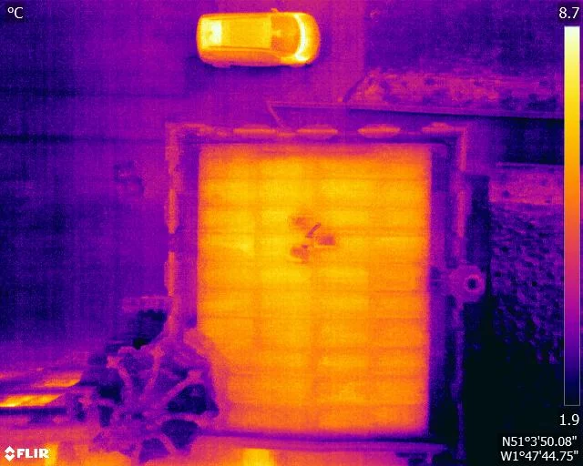
A flat roof is a build-up of layers, and water in the insulation changes how that part of the roof stores and releases heat. It does not make water visible to a thermal camera. What it creates is a lag, a wet zone that cools more slowly than the dry roof around it once the sun has gone. This is how that lag is produced, why the survey is timed to it, and what a warm patch is honestly worth.

How close can a drone legally fly to people and buildings in the UK? This piece sets out the ground rules in plain terms: the Open category subcategories A1, A2 and A3, the 120 m height limit, the separation kept from uninvolved people and from residential, commercial, industrial and recreational areas, what "uninvolved" means for your own staff and visitors, and why a Specific category Operational Authorisation is what lets a commercial operator work closer on a busy site.
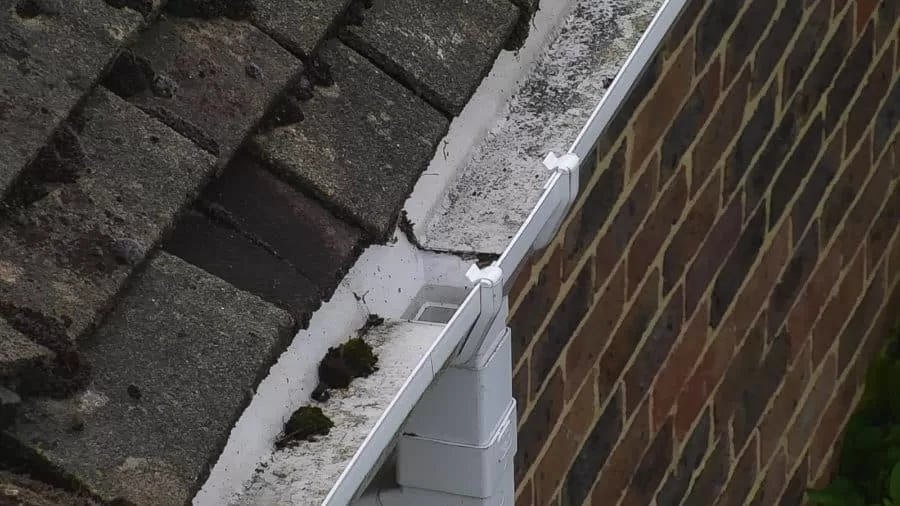
A roof moves rainwater along a designed path, from slope to valley to gutter to outlet. Autumn is when that path is loaded for the first time in months, and when anything silted, sagging or split begins to show. Almost none of it is visible from ground level. This is what an aerial inspection records about roof drainage, why standing water is such a useful signal, and how observations are marked on the imagery so a contractor can quote from them.



