BBC One Show filming of the Marble Racing at Merthyr Mawr, Sand Dunes, Bridgend, Wales, with One Show science presenter Marty Jopson
It was a baking hot day so ideal for spending on the beach along with all the other folk that were involved in the production of this fun piece regarding the construction of a sand marble rally course. Plenty of our drone footage was included and we feel it was perfect for sharing the scale of this project with the viewer – an aerial perspective shows off the size of the course brilliantly in a way that a ground perspective wouldn’t have been able to do.
Always lovely to see your work on the television, especially when it is part of one of the BBC’s flagship shows – the One Show. This was such a fun project to be a part of and I really enjoy the variety that working alongside the team provides in terms of cinematography.


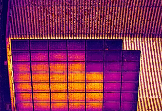

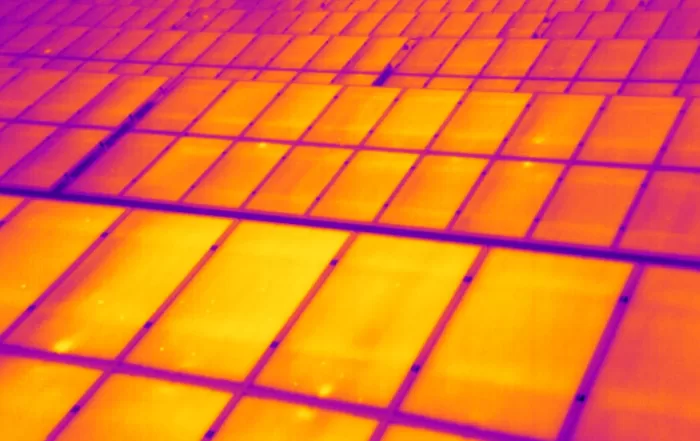
Drone or Ladder: What Changes When a Solar Inspection Leaves the Ground
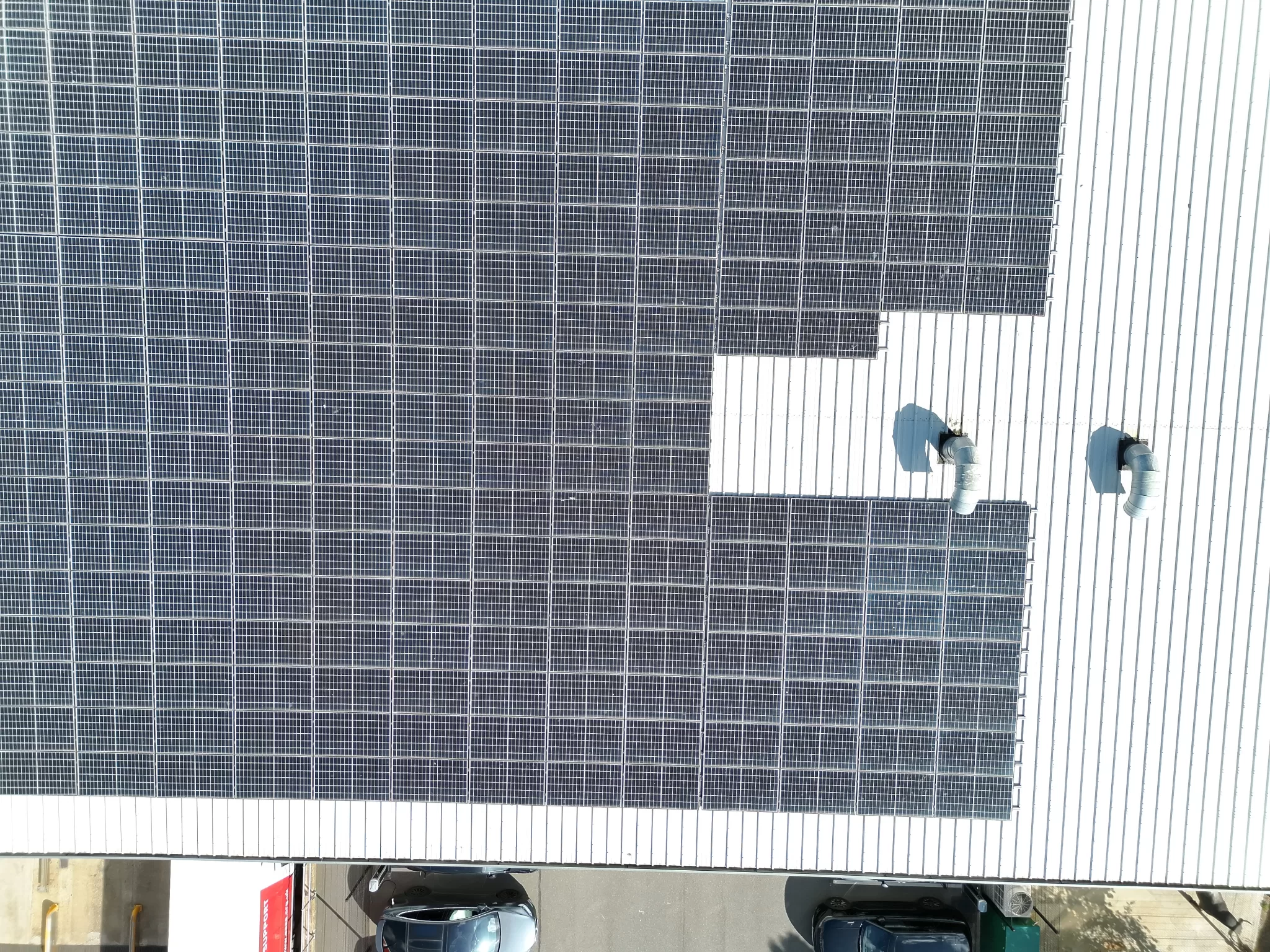
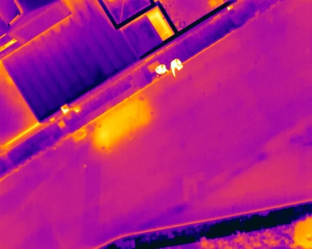
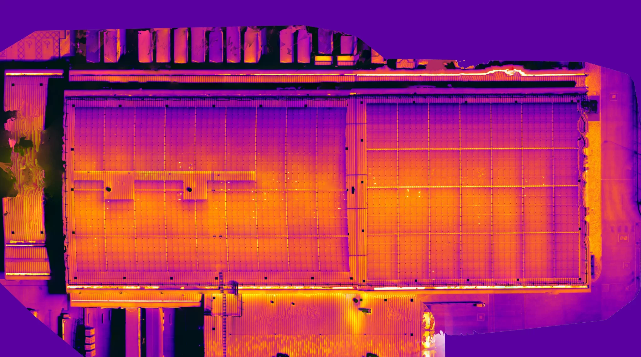
A drone or a ladder? The two are not the same solar inspection done two ways, and they produce different evidence. A visual check finds visible damage. A handheld thermal camera sees heat but, from a ladder, looks across the array at an angle where glass reflects the sky. A drone records every module from above under one set of conditions. This post sets out what each can see, why angle and timing change the reading, and where each belongs.
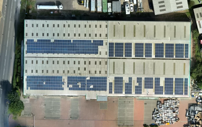
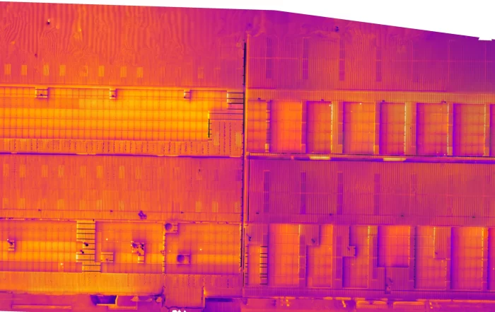
Simplified or Detailed: Which IEC 62446-3 Inspection a Rooftop Solar Array Actually Needs
IEC TS 62446-3 does not describe one solar thermography inspection but two. A simplified inspection confirms that modules and connections are working, reading thermal patterns only. A detailed inspection measures, normalises and classifies what it finds, and is the level at which module condition can be reported with confidence. This post explains the difference, where a drone flight over a rooftop array sits between them, and why the level should be agreed in writing before the aircraft is booked.
What the Office Cannot Fix: Why Aerial Data Quality Is Decided on Site
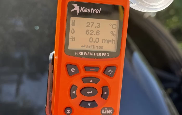
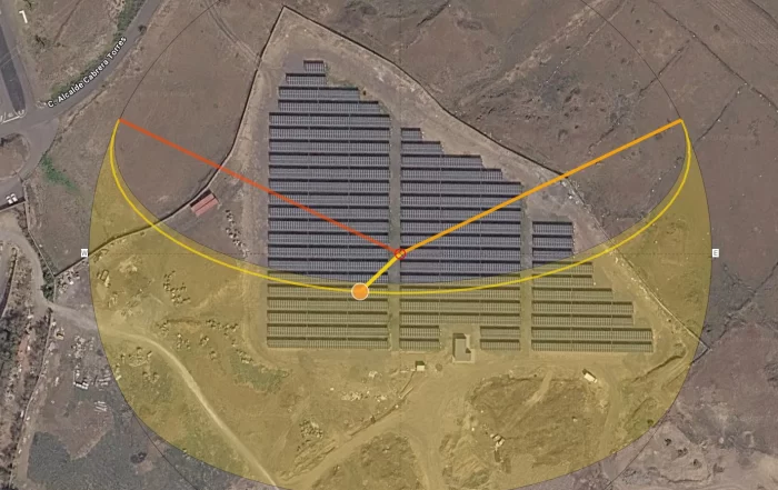
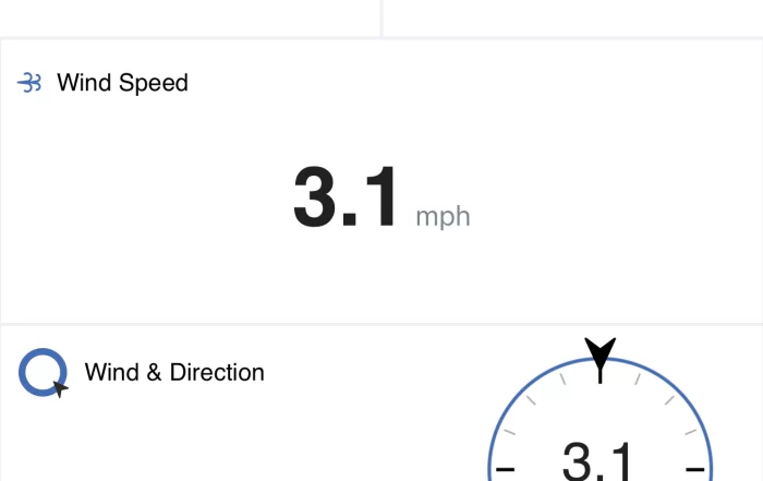
A drone survey flight produces photographs and positions, and that is the whole of the raw material. Everything afterwards is interpretation, so a gap in the imagery stays a gap and a soft frame stays soft. This post sets out what the day of capture actually decides: the light, the wind, the state of the ground, where ground control can physically go on a working site, and the narrow set of checks worth making before the van doors close.