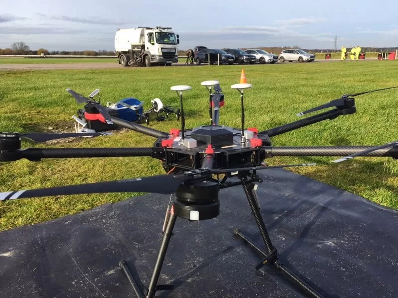
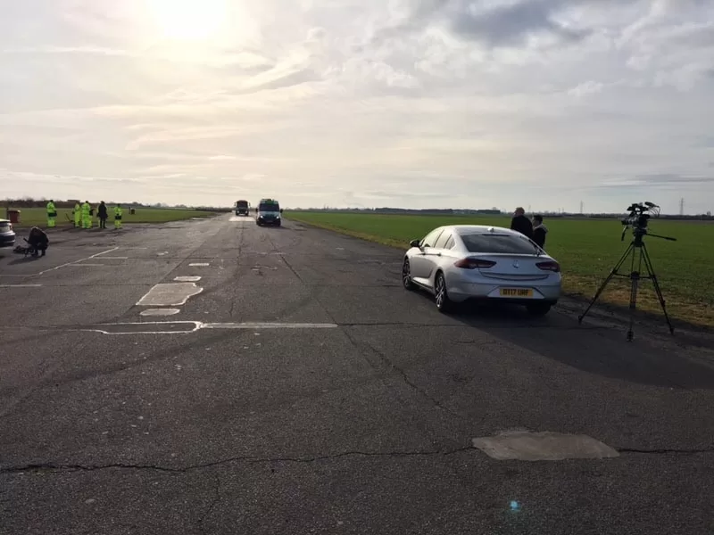
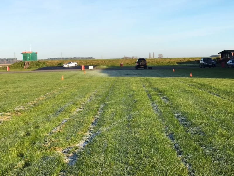
A cold and frosty morning in Doncaster at Blyton Park Driving Centre – out with the drones and the BBC One Show team filming an article about potholes!
The One Show’s presenter Iwan Thomas presents the piece and overseas the competition judged by some eminent people in their field, Victoria Hazael (Cycling UK), Vince Crain (The AA), Keith Jones (Institution of Civil Engineers). The filming took place on Blyton Race Track in Lincolnshire, where three large potholes were repaired and reviewed. They will be testing out pothole repair technologies on the racing circuit itself and we will be providing supporting cinematography from an aerial perspective!
Watch the One Show here: https://www.youtube.com/watch?v=UPqk2OEMYpU


How Close Can a Drone Fly to People and Buildings? The Ground Rules Behind a Commercial Booking
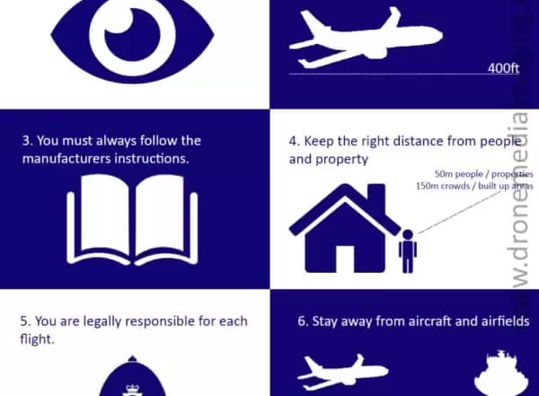
How close can a drone legally fly to people and buildings in the UK? This piece sets out the ground rules in plain terms: the Open category subcategories A1, A2 and A3, the 120 m height limit, the separation kept from uninvolved people and from residential, commercial, industrial and recreational areas, what "uninvolved" means for your own staff and visitors, and why a Specific category Operational Authorisation is what lets a commercial operator work closer on a busy site.


How Airspace Affects Your Drone Flight: What Sits Above Your Site and What It Means for the Booking
Every drone flight takes place in airspace, and airspace begins at the ground. This guide explains, in plain terms, the difference between controlled and uncontrolled airspace, the permanent prohibited, restricted and danger areas, the hazards marked on the chart, and the temporary restrictions that can appear over a site at short notice. It sets out how Drone Media Imaging checks a site before quoting and again before flying, and what a client should expect to hear back about the booking.


Aerial Imagery in an Insurance Claim: Who Commissions It, and What It Has to Show
Aerial imagery enters an insurance file by three routes: a loss adjuster who cannot safely reach a roof, a broker placing or renewing cover on a large building, and a policyholder who wants an independent dated record before a repair covers the evidence. This piece sets out what each uses the images for, and the five things that make a set of photographs acceptable to a sceptical reader: dated, placed, systematic, unaltered, and accompanied by a plain account of what was observed.