

Roof Inspection Photographs
Two photographs of the same slate can look almost identical as thumbnails and tell a building owner completely different things. One shows a grey rectangle with a shadow across it. The other shows the lower edge lifted clear of the batten, the nail hole open to the weather, and a rust stain running down the course below. Neither was harder to take. The difference is distance, angle and light, and those are decisions made in the air rather than settings applied afterwards.
That distinction matters because roof inspection by drone has become a crowded service, and a great deal of what is offered really is the same. An aircraft goes up, a camera points down, a folder of images arrives. What varies, and what a managing agent or building owner is actually paying for, is whether the images in that folder answer the question that prompted the enquiry.
This post is about the photographs themselves rather than the flying. It covers what a close visual inspection from the air can resolve, what has to go right on the day for it to resolve anything at all, and, just as usefully, the things no photograph of a roof will ever tell you. The service pages cover what the inspection costs and what it looks at. This one goes a layer further into what lands on your desk afterwards.
Blog Content TL;DR...
What actually decides whether a roof photograph is useful, and what it can never tell you.
- The difference between a general aerial view and an inspection photograph is distance, angle and light, not the height it was taken from.
- Detail images are only evidence when a wider frame places them on the building, so they are taken as pairs.
- Observations are marked on the image itself and worded plainly, as areas warranting further investigation by a suitably qualified contractor.
- The scope is yours to set, from a handful of frames answering one question to a systematic record of every slope.
- No photograph can tell you what is under the covering, whether a crack is moving, or whether the structure is sound.
Visual inspection and the imagery from it, described honestly, including where it stops.
Height Is Not the Variable
Why two photographs of the same roof can be worlds apart

The same roof, photographed two ways
Put a camera fifty metres above a building and you get an accurate record of the roof’s shape, its orientation and where the plant sits. You do not get a usable view of a cracked hip tile. Bring the same camera to a few metres off the surface, square to the slope, and the tile is unmistakable. Nothing about the aircraft changed. What changed was how much of the sensor that one tile occupied.
Why most aerial roof images disappoint
The common failure is not blur, and it is not a cheap camera. It is standoff: images taken from a comfortable, safe-feeling distance that cover everything and resolve nothing. They read well on screen as a general view, and then the roofing contractor asks for a closer look at the valley and there isn’t one. A second visit follows, which is the cost the inspection was supposed to avoid.
Light does half the work
Surface deformation, a dished slate, a lifted seam, a slight depression where water sits, is visible only when the light rakes across it. Flat overcast light hides all of that whilst showing colour and staining beautifully. Direct midday sun does the opposite and fills the shadows that would have revealed the shape. Reading which of those a particular roof needs, before taking off, is the part experience buys.
what a roof inspection photograph should show, why some aerial roof images are useless, what a drone cannot tell you about a roofwhat a roof inspection photograph should show, why some aerial roof images are useless, what a drone cannot tell you about a roof
From Photograph to Evidence
Every detail shot needs a parent
A close photograph of a defect is worthless if nobody can say where on the building it sits. So detail images are taken in pairs with a wider frame that places them: this valley, on this elevation, third bay from the gable. It sounds obvious, and it is the single thing most often missing from a folder of aerial images handed to a contractor.
Marking what warrants a look
Observations are marked on the image itself rather than described in a separate list that has to be cross-referenced. The wording stays deliberately plain, an area warranting further investigation by a suitably qualified contractor, because the photograph is the finding and the interpretation belongs to whoever will price or repair the work. Nothing is graded, scored or ranked. Where an observation cannot be resolved from the air, that is said plainly too.
The scope is yours
Some clients want one question answered and nothing else, and the right deliverable is a handful of frames of one flashing. Others want a systematic record of every slope for the maintenance file, or video moving slowly along a parapet where stills would miss the continuity. Both are the same skill applied at different lengths, and it is agreed before the visit rather than discovered afterwards.
What the Photographs Cannot Tell You
The limits are the useful part
A photograph records a surface at a moment. It cannot tell you what is underneath the covering, whether the deck or the timbers are sound, whether a crack is moving or has been static for twenty years, or whether water is getting in somewhere the eye cannot follow. Anyone implying otherwise from a set of stills is selling something they cannot deliver.
Not a survey, and deliberately so
Drone Media Imaging provides visual inspection and the imagery that comes from it. This is not a building survey, a structural assessment or a condition grading, and no surveying qualification is held or claimed. Where a finding needs a professional opinion on the structure, that is a chartered surveyor’s work, and the photographs make their visit shorter and better informed rather than replacing it.
What it changes
What a good set of images does change is the quality of every conversation that follows. A contractor quotes from a photograph of the actual defect instead of a guess made from the pavement. Competing quotations can be compared against the same evidence. A managing agent can show a leaseholder why the work is needed. And a maintenance file gains a dated visual record of the roof as it was, which is worth a great deal the next time somebody asks when the condition changed.
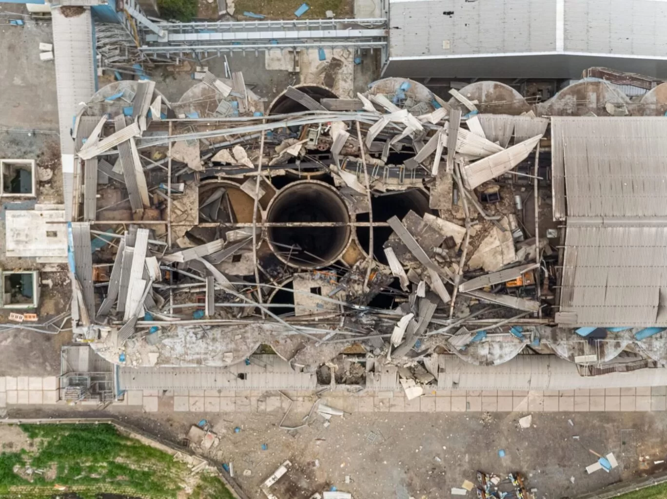
The smallest thing a photograph can show is set by how much of the surface each pixel covers, and that is governed by the distance from lens to subject, the focal length and the size of the sensor, not by the megapixel count on its own. Double the distance and you halve the detail. This is why a camera specification tells you very little about whether a hairline crack will be visible, and why the useful question is how close the lens was, and at what angle.
Angle matters as much as distance. A photograph taken square to a slope resolves the surface evenly. The same frame taken obliquely spreads the far half of the image across fewer pixels, so detail falls away across the frame even though it looks acceptable overall.
In practice this is planned before the flight. The detail the client needs to see sets the working distance, the working distance sets how many passes the roof takes, and that sets how long the visit runs. It is worked out in advance rather than discovered in the edit.
Tell us what you need to see
Send us the address and what has prompted the enquiry, and we will tell you what a close visual inspection would realistically show on that building, and what it would not. Drone Media Imaging works across Sussex, Hampshire, Kent and Surrey, and travels throughout the UK, Ireland and Europe.
related posts

Revolutionizing Insurance Claims: Drones Take Rooftop Inspections to New Heights!
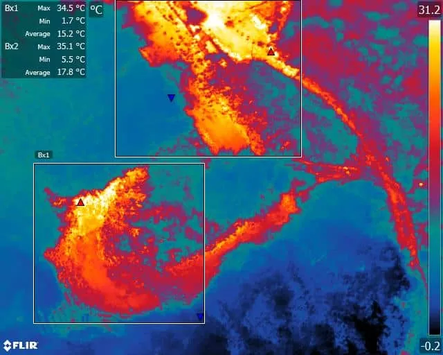
The use of drones equipped with thermal imaging cameras has revolutionized fire safety measures in solid waste landfill sites. These drones can detect temperature variations and hotspots, allowing operators to identify areas at risk of combustion and take proactive measures to prevent fires. Additionally, thermal imaging technology can detect thermal emissions and chemical and physical parameters, providing valuable data for monitoring and managing landfill sites. This technology has already shown promising results, reducing the number of fire incidents in landfill sites and minimizing environmental impact and health risks. As the technology continues to advance, drone environmental thermal imaging is expected to become an indispensable tool in solid waste landfill site management.
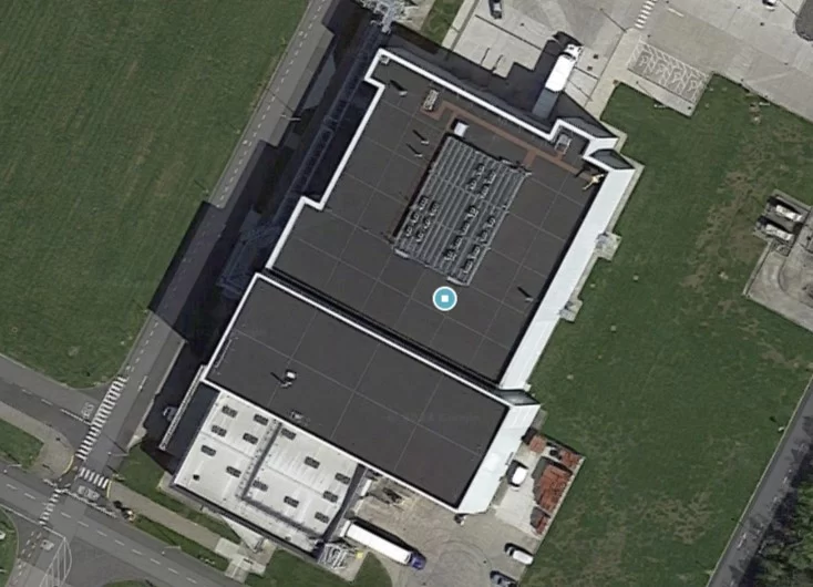
A drone roof inspection puts high-resolution, annotated imagery of every gutter, valley, ridge and fixing in your hands without scaffolding, access equipment or anyone leaving the ground. Autumn is the last sensible window to commission one before winter weather tests the roof for you. This post explains what the inspection delivers, how the imagery is captured and annotated, and why a dated photographic baseline of your roof earns its keep all winter, across Sussex, Surrey, Kent and beyond.



