
A site record is only worth keeping if the visits agree with each other
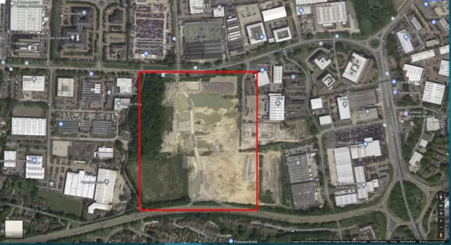
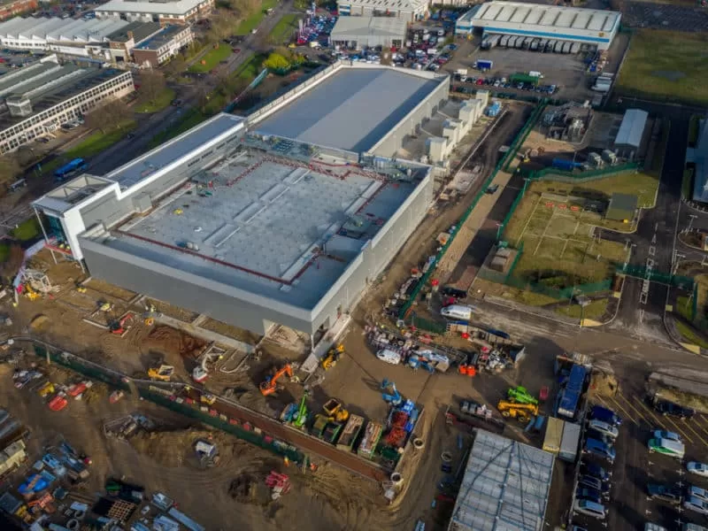
A construction site changes faster than almost any ground we fly. Ground that was flat in March is a steel frame by August, spoil moves weekly, and the thing everybody wants to know six months later is what the site actually looked like on one particular day. A single aerial visit answers that question once. A sequence of visits, flown to the same specification, answers it for the whole life of the build.
That sequence is the deliverable worth buying, and it is harder to produce well than it looks. Two flights over the same site are only comparable if the second was flown deliberately like the first, at the same ground sample distance, the same overlap, the same capture pattern, and at a time of day that puts the shadows in roughly the same place. Change any of those between visits and the differences visible in the imagery are partly the site’s and partly your own, with no reliable way to separate the two.
This is written for the person who has to account for the site to somebody else. The site manager explaining a delay, the developer reporting to a funder, the main contractor answering a question about what was under a slab before it was poured. It sets out what repeat aerial capture gives you, what has to be held fixed for the visits to agree, and where the method stops.
Blog Content TL;DR...
Repeat aerial capture turns a construction site into a dated, measurable record. The value is in the comparison, not the individual flight.
- One visit records the site. A planned sequence of visits records the change, which is what a programme argument actually needs.
- Comparability is designed in from the first flight. Ground sample distance, overlap and capture pattern are decided once and then held for every return.
- Time of day is part of the specification. Captures flown near solar noon keep shadows consistent, so change reads as change rather than as moved shadow.
- Ground control on a live site is driven over, buried or moved between visits. It is re-established on each return rather than assumed to have survived.
- A progress record and a measurement that payment depends on are different products, chosen at scoping and stated in the quotation.
The record is only as useful as the discipline holding the visits together.
The Question Asked Six Months Later
Why a dated aerial record earns its place on a build
What one visit cannot tell you
Most awkward questions on a construction project are about a moment that has already passed. What the levels were across the north end before the fill went in. When the compound moved. Whether the drainage run was open on the day the inspection was booked. Photographs taken from the ground answer some of that, from wherever somebody happened to be standing, pointing at whatever they happened to think mattered at the time.
An aerial capture answers it differently, because it covers the whole site at once and every pixel sits in a known position. The result is not simply a picture of the site, it is a measurable surface of the site on a stated date. That is the part that survives being looked at two years later by somebody who was never there.
The value is in the sequence
One visit gives a good record. Six visits across a programme give something a single visit cannot, which is change. The difference between two surfaces is where the earthworks went, how far the frame reached, and how much of the programme was genuinely delivered between one month and the next. That comparison is the product, and it only exists if the visits were planned as a set from the start rather than assembled afterwards from whatever happens to have been flown.
drone progress survey for a construction site, monthly aerial record of a build, comparing site progress between visitsdrone progress survey for a construction site, monthly aerial record of a build, comparing site progress between visits
What Has To Stay Fixed Between Visits
The flight plan is the control variable
Comparability is an engineering problem before it is a photographic one. Ground sample distance, the amount of ground covered by a single pixel, is chosen from the smallest feature that has to be identifiable and is then converted into a flight height, never the other way round. Flying lower is not a free improvement. Halving the height doubles the resolution and quadruples the number of images needed for the same overlap, which multiplies time on site, data volume and processing time along with it.
So the figure is settled once, at scoping, against what the imagery actually has to show, and then held for every subsequent visit. A record that changes resolution halfway through a build is a set of pictures rather than a sequence, because the later captures resolve detail the earlier ones never could and any apparent change across that boundary is an artefact of the plan.
Overlap, and the surfaces a site is made of
Overlap is held the same way and for a harder reason. Fresh tarmac, wet concrete, uniform gravel, membrane and standing water are all low-texture surfaces that give the matching process very little to work with, and a construction site is largely built from exactly those. The answer is to raise the overlap to suit the ground rather than to raise expectations of what the software will recover from a thin capture. Vertical relief is high and changing on a live site, so nadir passes alone will not model it and oblique passes are planned in from the first visit.
Light, and where the shadows fall
Time of day matters more than most clients expect. Hard low sun throws long shadows that hide detail and distort the surface model, so captures are flown within a few hours of solar noon wherever the programme allows. Held consistent, shadows fall in roughly the same place on every visit and a difference in the imagery can be read as a difference on the ground. Allowed to drift with the seasons, a site can appear to grow a feature that is only the shadow of a crane standing somewhere new.
What the Record Will and Will Not Do
Markers get driven over, and that is normal
On an active site, anything placed on the ground is at risk from the next delivery. Targets are driven over, buried under stone or simply moved, and by the following visit the neat arrangement from last month may not exist. This is expected rather than a failure. Permanent features and hard standing are used wherever the site offers them, and the arrangement is re-established on each return rather than assumed to have survived, which is one of the reasons a construction site is a different job from an open field.
Two different products, chosen before the first flight
A progress record and a measurement that money changes hands on are not the same job. A mapping-grade survey produces an internally consistent, measurable orthomosaic and surface model, which suits progress, coordination, stakeholder reporting and indicative quantities, and it carries no absolute positional accuracy claim. A survey-grade job adds ground control and independent check points deliberately withheld from the calculation, and reports the error measured against them for that job. Quantities that a payment or a valuation depends on belong in the second category. The choice is made at scoping, written into the quotation and repeated on the deliverable, because finding out at handover is the expensive way to learn the difference. No tolerance is offered in advance, ever. What is agreed beforehand is the method and the grade, and what is reported afterwards is the measured result for that flight.
Where the method stops
The service is survey, analysis and reporting. No drawings are produced, meaning no CAD and no vectorised linework, and an as-built plan here means a georeferenced aerial orthomosaic. Anyone needing drawings needs a surveyor or a technician working from the data. Nothing underground is visible to a camera. No structural, geotechnical or engineering opinion is offered on what the imagery shows, and no chartered surveying designation is held or claimed. Where something in the record looks wrong, it is reported as an area warranting further investigation by a suitably qualified contractor, which is the honest limit of an aerial record and the reason it can be trusted for what it does cover.

Comparison across visits depends on every capture sitting in the same coordinate framework. The client’s required output system is established at scoping and recorded before the first flight. Where none is specified, the default is British National Grid, EPSG:27700, with heights to Ordnance Datum Newlyn.
Two transformations do the work. OSTN15 converts horizontal positions from the satellite realisation to the national grid, and OSGM15 converts ellipsoidal heights to orthometric heights above the datum. Both are applied in processing, and the setting used is recorded in the survey report so a later reader can see exactly what was done.
Mixing systems between visits is the failure that matters, because it does not look like one. Base position, control, check points and the processing project must all sit in the same declared system before adjustment. A mismatch typically produces a clean, sharp, entirely displaced model, which is more dangerous than an obviously broken one. Ellipsoidal against orthometric height is stated explicitly on every deliverable rather than left to be inferred.
How This Work Is Governed
- Flights planned and flown by a CAA-qualified remote pilot, under the operator’s operational authorisation and operations manual, with airspace and site permissions settled before travel.
- British National Grid, EPSG:27700, with heights to Ordnance Datum Newlyn, as the default output framework where the client specifies none.
- OSTN15 and OSGM15 transformations applied in processing, with the settings used recorded in the survey report.
- Survey, analysis and reporting only. No remedial or corrective work, and no drawings, CAD or vectorised linework produced.
- No chartered surveying designation held or claimed, and no structural, geotechnical or engineering opinion offered on what the imagery shows.
- Accuracy reported as a measured result for the job in hand, never offered in advance as a generic capability.
Planning a Site Record for a Build
If you have a project about to start, or one already out of the ground, the useful conversation is about how often the site should be flown and what the record has to support. Drone Media Imaging works across Sussex, Hampshire, Kent and Surrey, and travels throughout the UK, Ireland and Europe. Tell us the site, the programme and the questions the imagery will need to answer, and we will tell you plainly what is deliverable and what is not.
related posts
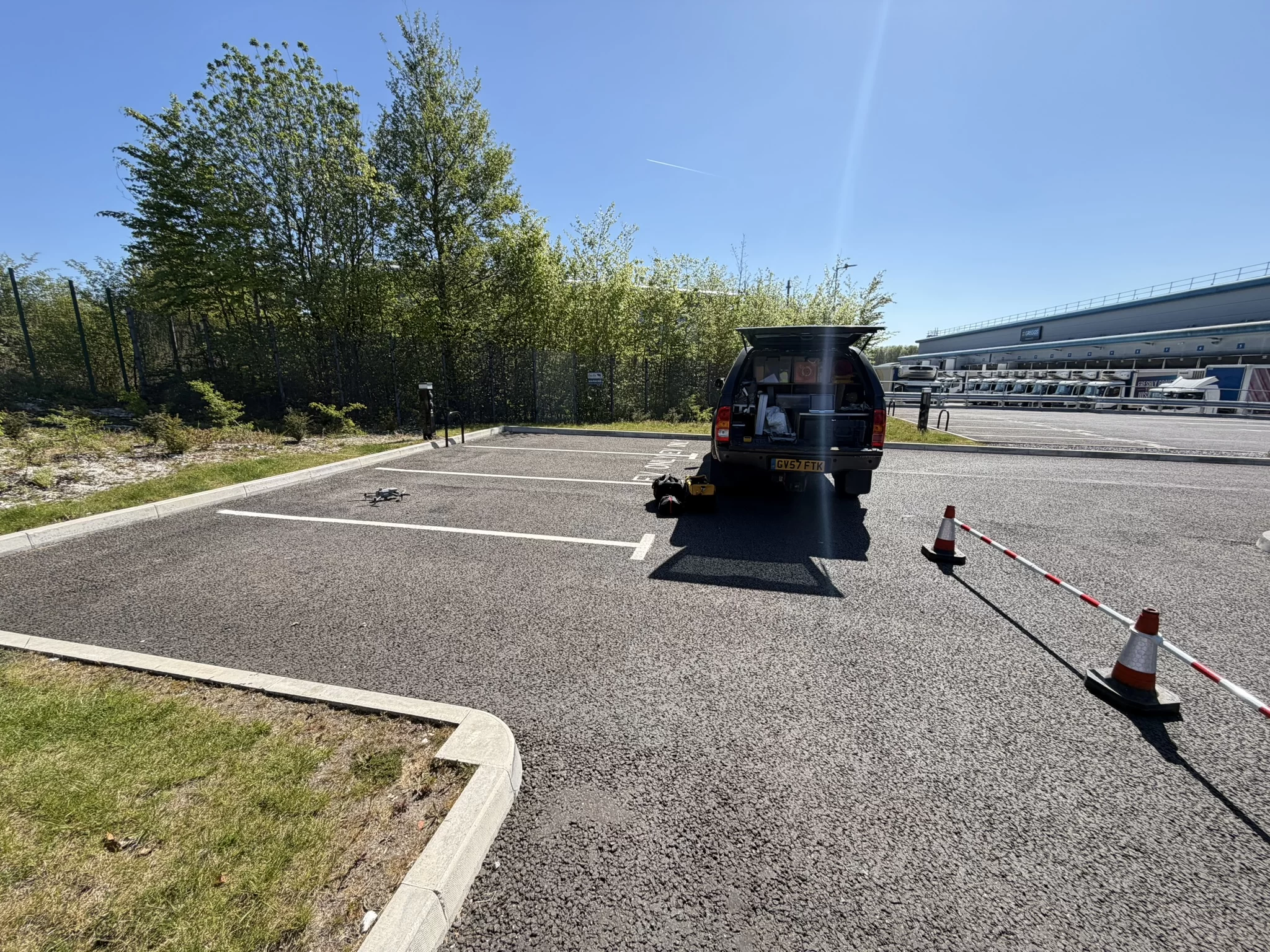
Booking a drone operator means checking paperwork, and the names have changed since most checklists were written. This piece sets out the three families of document a client should ask for, registration, authorisation and insurance, what each proves, and the pairs most often confused: an Operator ID against a Flyer ID, an Operational Authorisation against the retired PfCO, a GVC against an A2 CofC. It closes with the paperwork that belongs to your job rather than the operator.
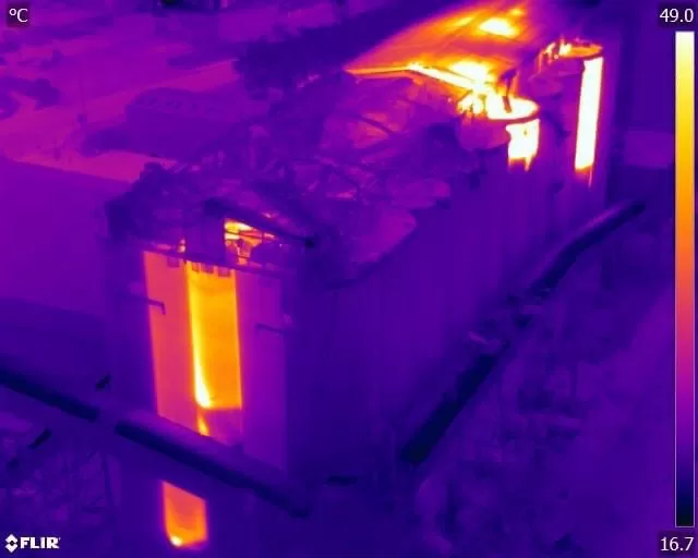
Quantitative thermography measures corrected surface temperatures and produces defensible numbers. Qualitative thermography identifies faults from thermal pattern and contrast without assigning values. Neither is the easy option, and most professional surveys use both: a qualitative sweep to find the anomalies, then quantitative measurement to classify the ones that matter. The distinction that counts commercially is not the method but who interprets the data, and what they are qualified to conclude. Drone Media Imaging analyses at ITC Level III.
Hiring a drone operator does not make you responsible for the flight, but it does make the choice of operator yours. Since the rules changed at the end of 2020 there is no commercial drone permission as such: the category is set by the risk of the flight, and work on a working site normally needs a Civil Aviation Authority Operational Authorisation held by the operator. This article explains who carries what, and what a competent operator should show you before flying.



