Overton Port Eynon, Swansea – BBC One Show Mother of All Challenges for Sports Relief
Here is a short collection of clips shot for the BBC One show “Mother of all Challenges” for Sports Relief with presenter Alex Jones. It was a very early start and a long hike with heavy equipment through muddy fields, but worth it for the breath taking Welsh cliffs and seascapes!
It was great to see a lot of the clips in the final show, that went out live the same day – here is the programme
https://www.bbc.co.uk/programmes/p061dlmf
“Alex Jones teamed up with four inspirational Mums as they took on five days of gruelling challenges around the UK for Sport Relief. They put their bodies to the test to raise life-changing money and awareness of important issues around maternal health, with the nation following their journey on The One Show. The team braved the cold as they swam across Scotland’s most famous loch, hiked and cycled some of the Lake Districts most famous passes, battled the Porth Yr Ogof cave in the Brecon Beacons and finished with a cross-country run across the hilly Welsh coast. ” – BBC One Show


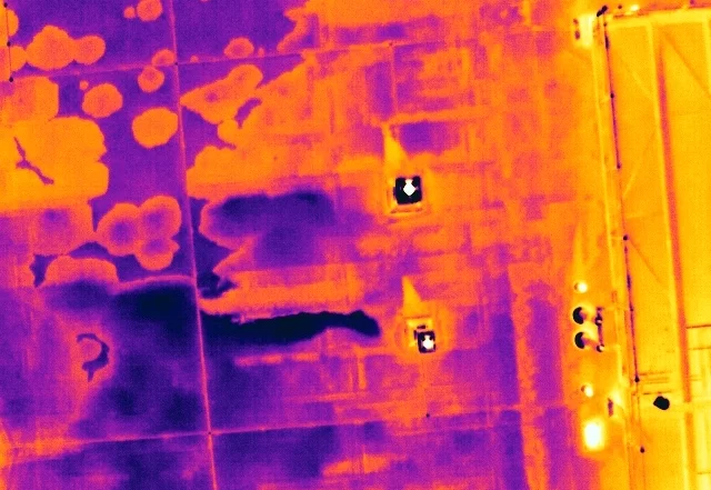
Thermal Mass and the Flat Roof: Why Trapped Moisture Shows Itself After Sunset
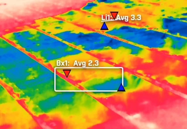
A flat roof is a build-up of layers, and water in the insulation changes how that part of the roof stores and releases heat. It does not make water visible to a thermal camera. What it creates is a lag, a wet zone that cools more slowly than the dry roof around it once the sun has gone. This is how that lag is produced, why the survey is timed to it, and what a warm patch is honestly worth.


Can My Site Be Flown? Drone Separation Distances and What They Mean in Practice
A site owner's question is usually whether a drone is allowed. The regulations answer a different one: how far the aircraft must stay from people who are not part of the operation. That distance is not fixed. It moves with the authorisation the operator holds, the mass and class of the aircraft flown, and how the people on site are briefed. This is what actually decides whether a working site can be flown, and the small part the client plays in it.
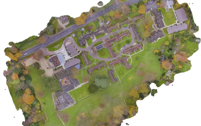
Open Land from the Air: What an Aerial Survey of an Estate Can and Cannot Measure
A rural holding is usually recorded in fragments: an old drainage plan, a track that has moved, a boundary everyone agrees on until it is questioned. An aerial survey replaces that with one dated record of the whole site. The decision that matters is whether you need a high quality visual record or positionally accurate survey data, because they look identical on screen, cost differently, and only one of them can be defended. Here is how the two differ, and what the method cannot do.