Jake Tyler Black Dog Walks
Walking and running the whole of the Great Britain to raise awareness of Mental Health.
We had the opportunity to meet a remarkable young man, Jake Tyler, whole lives with depression and anxiety. He decided to take back control of his health by looking at the beauty of nature that surrounds him. One day he took off on a walk and didn’t stop until he had walked and run the length of the country. The BBC One Show caught up with him to tell his story and we were delighted to provide the aerial video.
Connect and follow Jake on his facebook page: https://www.facebook.com/jaketylerbdw/
#JakeTyler #Blackdogwalks #BBCOneShow @blackdogwalks #brighton #southdowsway
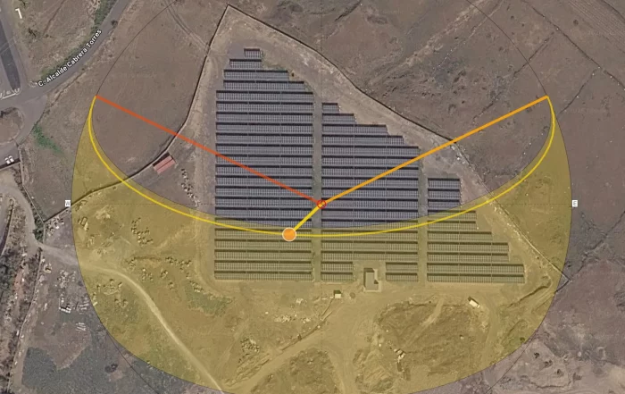
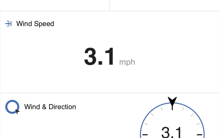
What the Office Cannot Fix: Why Aerial Data Quality Is Decided on Site
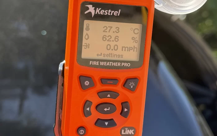
A drone survey flight produces photographs and positions, and that is the whole of the raw material. Everything afterwards is interpretation, so a gap in the imagery stays a gap and a soft frame stays soft. This post sets out what the day of capture actually decides: the light, the wind, the state of the ground, where ground control can physically go on a working site, and the narrow set of checks worth making before the van doors close.

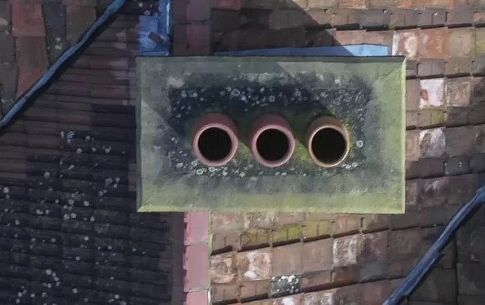

The Roof You Can Reach Is Not the Whole Roof
A roof gets inspected in the places a person could stand, and that single fact explains most of what gets found late. Ladders reach the eaves, scaffolds cover one elevation, and fragile coverings restrict a roof walk exactly where the roof is oldest. Photographing from the air removes the constraint rather than the expertise: every slope is covered square on, and the interpretation stays with your roofer or surveyor.
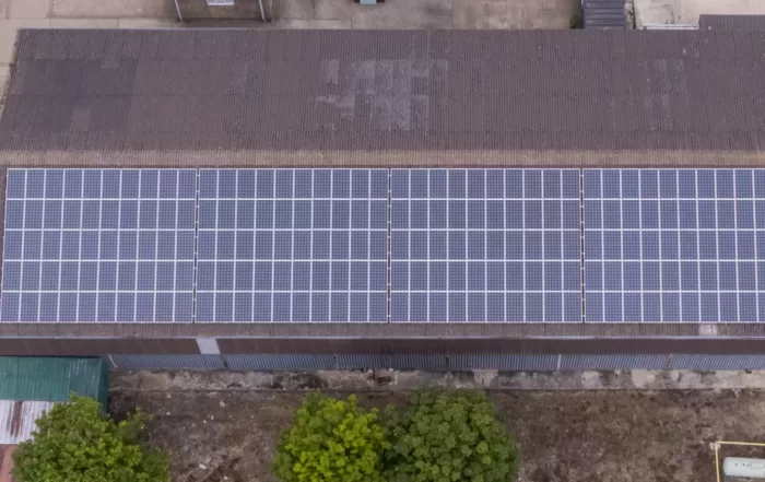

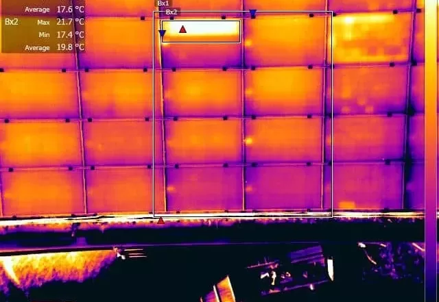
Domestic Solar Layout: Why the Roof Decides What Can Be Inspected
A domestic solar array is rarely laid out the way anyone would choose. Pitch and orientation are inherited from the building, and shading from chimneys, dormers and trees removes usable area before the layout is drawn. What gets installed is the residual. Those same decisions fix the plane the modules sit in, and so fix the directions from which they can usefully be imaged afterwards, which is why a rooftop array is awkward to assess from ground level.