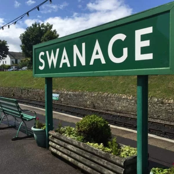
We were delighted to be invited to come and film alongside the team from the BBC’s The One Show down at the Swanage Railway.
We were part of an article that they were creating regarding the rejoining of the Swanage train station to the main railway line, something that’s been achieved through a huge amount of work by a team of volunteers in a large part. We were to provide aerial footage of the beautiful steam engine puffing its way along the route – the chocolate box Dorset countryside and you really couldn’t ask for a more picturesque backdrop.
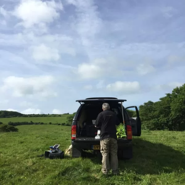
A very friendly farmer allowed us to use his field as a takeoff and landing site as it was adjacent to the rail track, giving us the opportunity to get beautiful views of the train as it headed over from Corfe Castle towards Swanage. Then we moved off to Norden station where we were able to interact even more closely with the train as it left the current final station on the line, filming almost trackside to create rising views of the drone disappearing into the steam plumes as the engine chugged beneath.
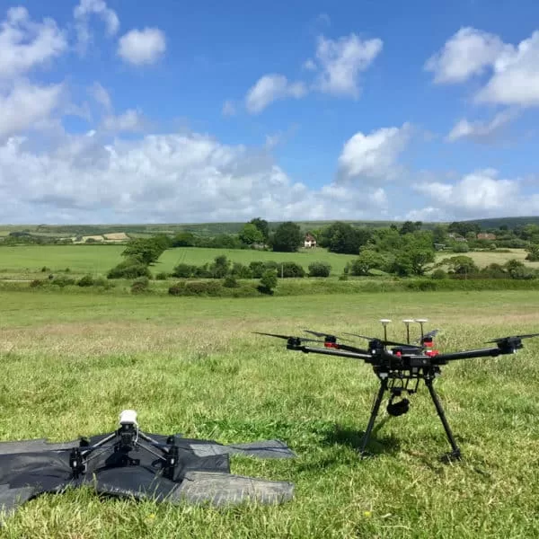
Despite relatively high winds on the day, our Matrice and Inspire fleet of craft were more than equal to the task of creating stable and stylish footage to capture both the engine and the environment with plenty pieces of the footage being used in the finished piece on BBC 1.

Thermal Mass and the Flat Roof: Why Trapped Moisture Shows Itself After Sunset
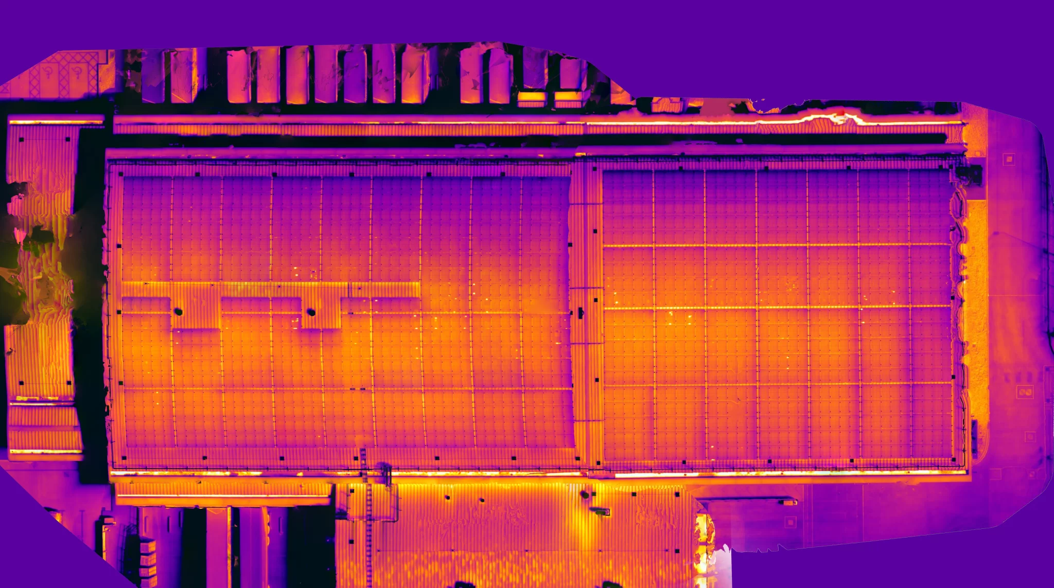
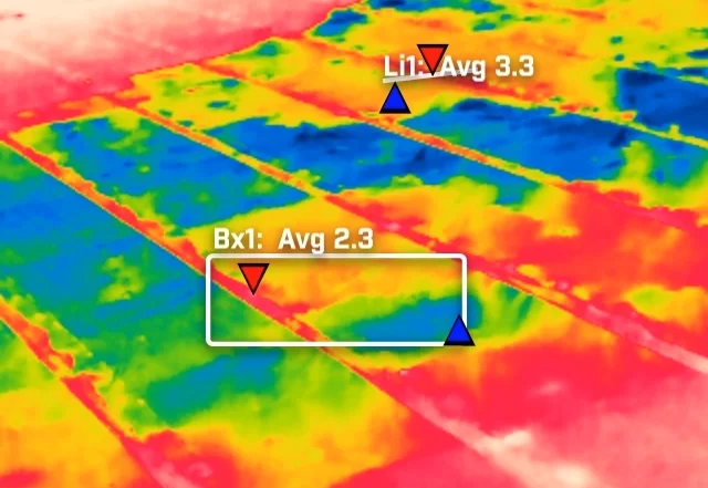
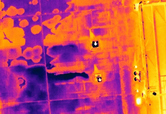
A flat roof is a build-up of layers, and water in the insulation changes how that part of the roof stores and releases heat. It does not make water visible to a thermal camera. What it creates is a lag, a wet zone that cools more slowly than the dry roof around it once the sun has gone. This is how that lag is produced, why the survey is timed to it, and what a warm patch is honestly worth.


Can My Site Be Flown? Drone Separation Distances and What They Mean in Practice
A site owner's question is usually whether a drone is allowed. The regulations answer a different one: how far the aircraft must stay from people who are not part of the operation. That distance is not fixed. It moves with the authorisation the operator holds, the mass and class of the aircraft flown, and how the people on site are briefed. This is what actually decides whether a working site can be flown, and the small part the client plays in it.
Open Land from the Air: What an Aerial Survey of an Estate Can and Cannot Measure
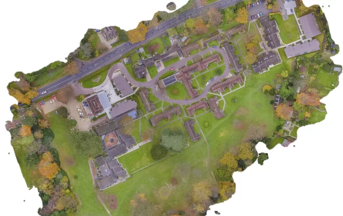
A rural holding is usually recorded in fragments: an old drainage plan, a track that has moved, a boundary everyone agrees on until it is questioned. An aerial survey replaces that with one dated record of the whole site. The decision that matters is whether you need a high quality visual record or positionally accurate survey data, because they look identical on screen, cost differently, and only one of them can be defended. Here is how the two differ, and what the method cannot do.