We were delighted to be invited to come and film alongside the team from the BBC’s The One Show down at the Swanage Railway.
We were part of an article that they were creating regarding the rejoining of the Swanage train station to the main railway line, something that’s been achieved through a huge amount of work by a team of volunteers in a large part. We were to provide aerial footage of the beautiful steam engine puffing its way along the route – the chocolate box Dorset countryside and you really couldn’t ask for a more picturesque backdrop.
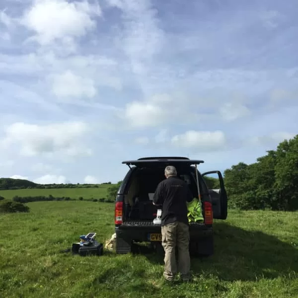
A very friendly farmer allowed us to use his field as a takeoff and landing site as it was adjacent to the rail track, giving us the opportunity to get beautiful views of the train as it headed over from Corfe Castle towards Swanage. Then we moved off to Norden station where we were able to interact even more closely with the train as it left the current final station on the line, filming almost trackside to create rising views of the drone disappearing into the steam plumes as the engine chugged beneath.
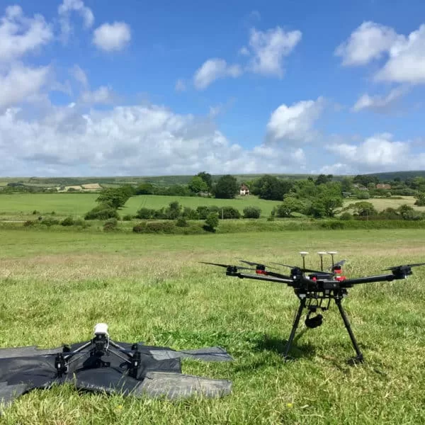
Despite relatively high winds on the day, our Matrice and Inspire fleet of craft were more than equal to the task of creating stable and stylish footage to capture both the engine and the environment with plenty pieces of the footage being used in the finished piece on BBC 1.

Solar String Testing: What the Curve Tells You That a Thermal Image Cannot
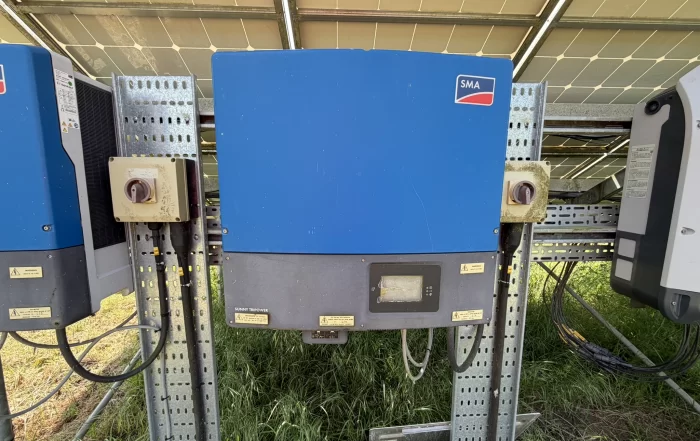
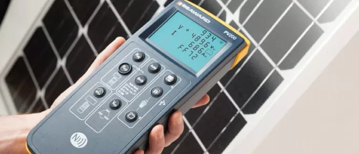
A thermal survey shows where a solar array is losing energy as heat. A string test shows how much a string is actually producing, and its I-V curve shows what kind of fault is holding it back. Some faults only the camera can see, others only the meter. This post explains what string testing measures, how the curve is read alongside the thermal images, and what to check about your own system before booking a combined survey of the array.
A Thermal Survey and a Building Survey Answer Different Questions
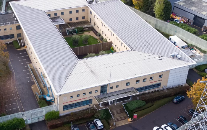
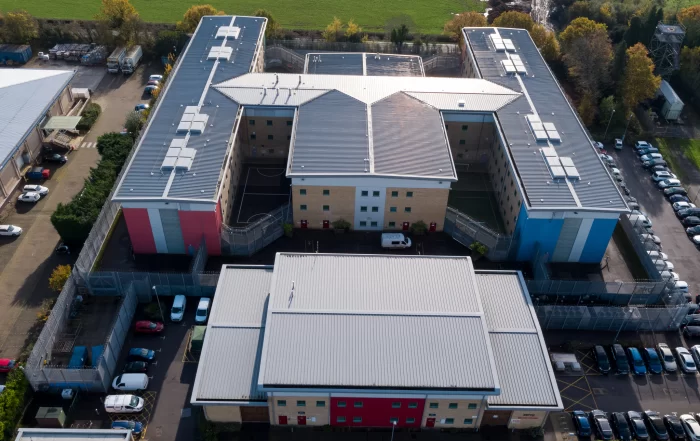
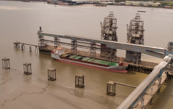
A building survey and a thermal survey both carry the word survey, and they answer different questions. One is a qualified professional's judgement on the condition of a structure. The other records where the envelope loses heat, admits air or holds moisture, under conditions written down at the time. Drone Media Imaging provides the second, and holds no surveying qualification. This is how the two work together, what each needs from the other, and why the boundary is what makes the evidence usable.
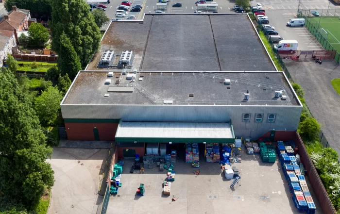
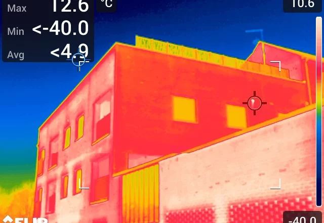
Which Building First? Thermal Survey Across a Property Portfolio
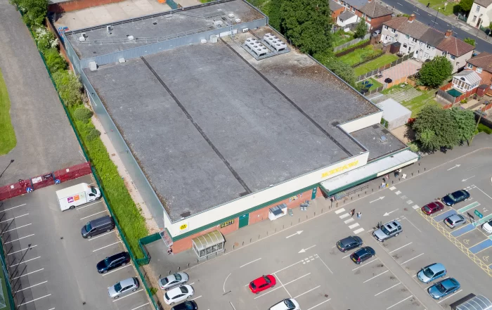
A thermal survey of one building answers a question about that building. A survey of a whole portfolio answers a different question, which is where the repair budget should go first. That second answer only holds if the surveys were designed to be compared, which means conditions logged per elevation, camera settings fixed and held, and capture geometry kept consistent from block to block. This is how a set of buildings becomes an ordered starting point rather than a stack of reports.