
Volume and Stockpile Measurement
A Measured Number Instead of an Educated Guess
Stockpiles, excavations and material heaps measured from the air in a single visit, giving a volume figure with the survey behind it rather than a pace-out and a calculation. Used for stock valuation, reconciling what has been moved against what was invoiced, and tracking material on site month to month.
A Measured Number Instead of an Educated Guess
Stockpile figures are usually estimates, and everybody involved knows it. Somebody paces out a heap, applies a shape, adjusts it for how it looked last time, and a number goes into a stock valuation or onto an invoice. It is defensible right up until the moment somebody disagrees with it.
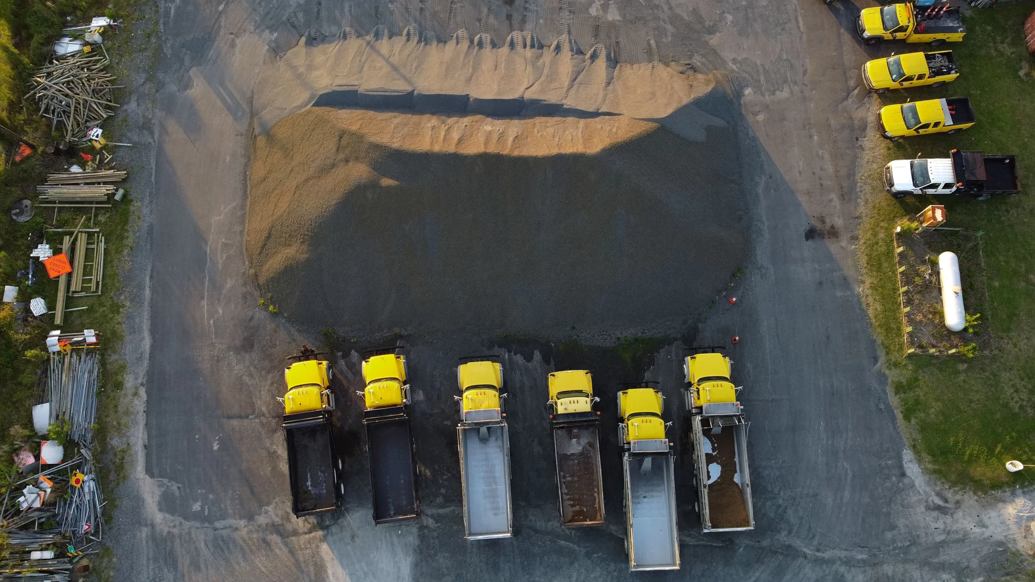
A drone survey replaces the estimate with a measurement. The pile is captured from above in a few minutes, and the volume is calculated from the actual shape of it rather than from an assumed one. The number arrives with the survey behind it, so if it is ever queried there is something to point at, and the same site can be flown again next month against exactly the same reference.
Where the Number Actually Gets Used
Usually somewhere money changes hands
Stock valuation. Material sitting in a yard is an asset, and at year end somebody has to say how much of it there is. A measured figure with a dated survey behind it is a considerably more comfortable thing to put in front of an accountant or an auditor than a number arrived at by eye.
Reconciliation. Muck away, imported fill, aggregate delivered, waste taken off site. A before-and-after pair of surveys measures what actually moved, which can then be set against what was invoiced for moving it. On a job of any size the two do not always agree, and the survey is the only version of events that is not somebody’s recollection.
Monitoring. Waste and recycling sites accumulate material, and permits often care about how much. Quarries and aggregate yards need to know what is in stock and where. A repeat flight to a fixed specification turns that into a series rather than a snapshot.
Earthworks. Cut and fill through a construction programme, measured against the pre-works ground surface, so what has been excavated and what has been placed is quantified rather than claimed.
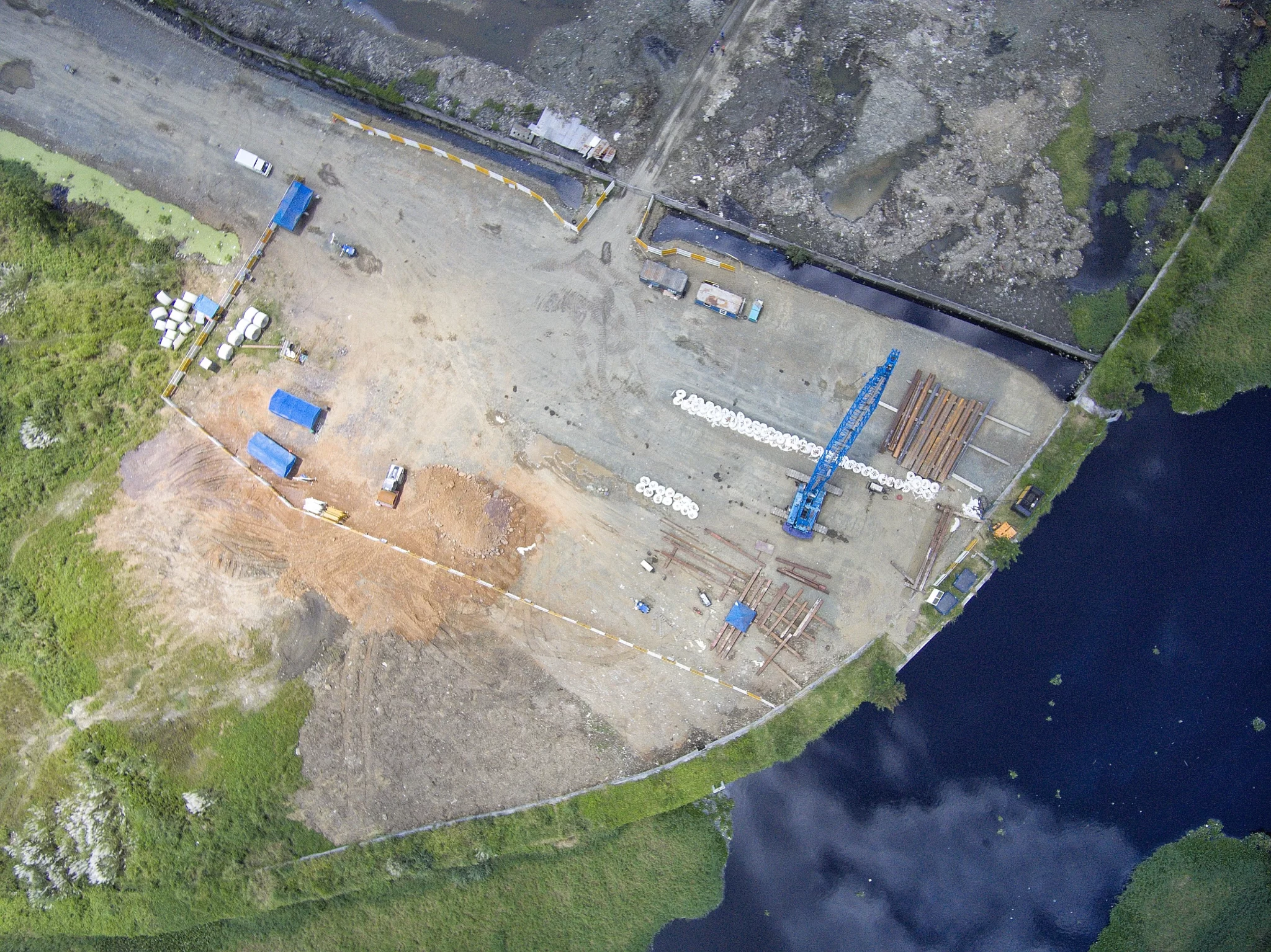
All of it comes from the same flight, so a yard with several piles is one visit rather than several, and the orthomosaic that comes with it shows exactly where each one stood on the day it was measured.
At a glance
What a volumetric survey gives you, and the two things it does not.
- Measured volumes for stockpiles, excavations, voids and material heaps, calculated from the real shape rather than an assumed one.
- The whole yard in one visit. Several piles measured from the same flight, with the orthomosaic showing where each one was on the day.
- Repeatable. Flown again against the same reference, so month-to-month movement is a measurement rather than two estimates subtracted.
- Used for stock valuation and year end, reconciling material moved against material invoiced, and monitoring what is accumulating on site.
- It measures volume, not weight. Converting cubic metres to tonnes needs a density figure for that material in that condition, which is yours or a laboratory’s, not a surveyor’s.
- It measures what it can see. Material under cover, inside a building or beneath other material is not measurable from the air.
The strongest use is the repeat visit, because a series of measurements answers questions a single one cannot.
Flown on the Same Sites
Volume Is a Comparison, So the Repeat Visit Is the Product
And what that means for how it is quoted
A single volume is a useful number. A series of them is a management tool, and most of the value in volumetric surveying sits in the second visit rather than the first.
That only works if the two surveys line up. If the second flight sits a few centimetres away from the first, the difference between them contains that offset as well as the material that actually moved, and on a shallow spread over a large area the error can be a meaningful share of the answer. It is the same problem as anywhere else in mapping: the comparison is only as good as the alignment.
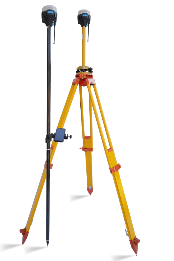
Which is why a repeat volumetric programme is usually flown as a Survey rather than an Ortho. Measured ground control puts every visit on the same reference, and independent points held back from the calculation show that it worked. For a one-off measurement of a single pile, an Ortho is often perfectly adequate and cheaper, and we will say so.
Practically, the specification is fixed at the first visit, the control positions are recorded so they can be reoccupied, and every later flight reproduces it. The price for subsequent visits is then known in advance, which matters when the survey is a quarterly or year-end fixture rather than a one-off.
Tracking Excavation and Material Movement Across a Live Site
A programme of repeat mapping surveys across a major redevelopment site in Crawley, flown in controlled airspace close to Gatwick. Every mission held identical altitude, overlap and imaging parameters, which is what allowed excavation, building footprints and plant movement to be compared visit to visit rather than merely photographed. It is the same discipline any volumetric programme depends on: fix the specification once, then reproduce it exactly.
What It Will Not Tell You
Three limits, all of which are better known before the survey than after it.
It measures volume, not weight. The survey returns cubic metres. Turning that into tonnes needs a bulk density for that material in the condition it is actually in, which changes with grading, compaction and how wet it is. That figure comes from you or from a laboratory. A surveyor who converts to tonnes without asking has guessed at the most disputable number in the calculation.
It measures what it can see. Material inside a building, under sheeting, in a bay with a roof, or buried beneath another pile is invisible from above. Where a yard is part covered, the covered part is excluded and said to be excluded, rather than estimated and folded in quietly.
It measures the pile, not the ground under it. Every volume is calculated against a base surface, and once a pile exists that surface cannot be seen. How it is defined changes the answer, which is the subject of the box alongside and the single most useful thing to settle before anybody flies.
What it does well is give a repeatable, evidenced figure for material you can see, quickly, across a whole site, without anybody climbing on a heap to get it. On most sites that is the difference between a number that survives a query and one that does not.
A drone survey measures the top of a pile very precisely. It cannot see the bottom of it, because the pile is in the way. So every volume figure is the space between a measured upper surface and an assumed lower one, and how that lower surface is defined changes the number.
There are three usual ways to define it, and they do not give the same answer.
A flat plane fitted at the level of the ground around the pile. Simple, and fine on a level concrete pad. On sloping or uneven ground it can be out by a great deal, in either direction.
The surrounding ground, interpolated across underneath the pile from the levels around its edge. Better on uneven ground, and the usual choice, though it is still an inference about what is underneath.
A previously surveyed ground surface, captured before the material was ever placed there. This is the only one that is measured rather than assumed, and it is why a pre-works survey of an empty yard or a stripped site is worth having if stockpiles are going to be measured on it later.
The practical point. Two surveyors can measure the same pile honestly and competently and return different volumes, purely because they defined the base differently, and neither is wrong. So the base definition is agreed at the enquiry and stated with the result, and where a figure is going to be compared with a previous one, it is calculated the same way both times. A volume quoted without saying what it was measured from is not really a measurement.
- Every volume is reported with the base surface it was calculated against stated alongside it, and where a figure is compared with a previous survey, both are calculated the same way.
- Volumes are reported in cubic metres. No conversion to tonnage is made, because bulk density is a property of the material and its condition rather than of the survey.
- Any part of a site not visible from the air, including material under cover or beneath other material, is excluded and stated as excluded rather than estimated.
- Repeat surveys are flown to the specification fixed at the first visit and placed on the same reference, so that measured change is attributable to the material rather than to the alignment.
- Flight operations are conducted under a Civil Aviation Authority Operational Authorisation held against the PDRA-01 standard scenario, with a General VLOS Certificate (GVC) and an A2 Certificate of Competency.
- Drone Media Imaging provides survey, mapping and reporting services. No chartered surveying designation is held or implied, and no valuation, permit compliance or contractual determination is offered.
Tell Us What Is on Site and What the Figure Is For
Send us the site location, roughly how many piles are involved, and what the figure has to support: a stock valuation, a reconciliation, a permit return or a payment. You will get a fixed price back with the deliverables and the base-surface definition written into it in plain words. If this is going to be a quarterly or year-end fixture, say so now, because getting the first survey set up properly is what makes every one after it cheap and comparable.



