
Site Mapping for Developers
The Site As It Is Today, Measured and Repeatable
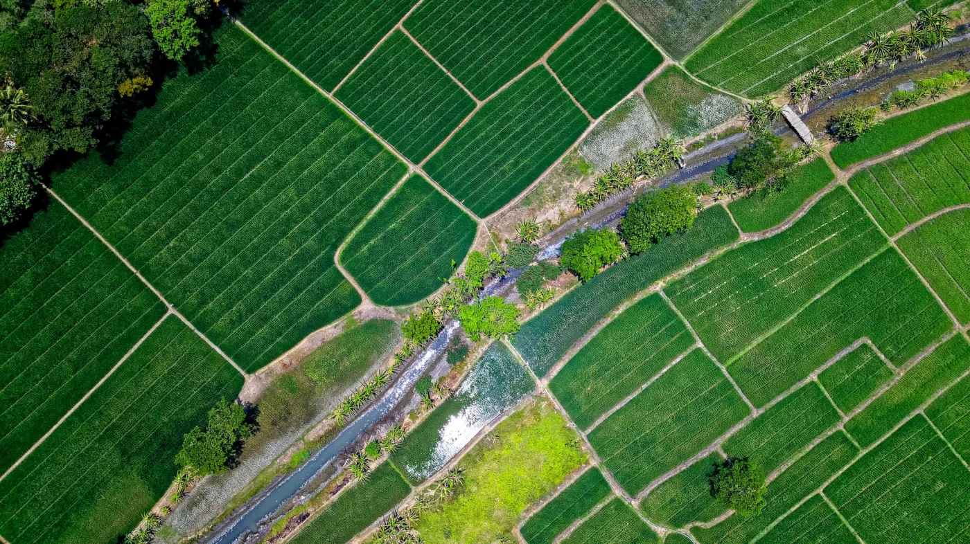
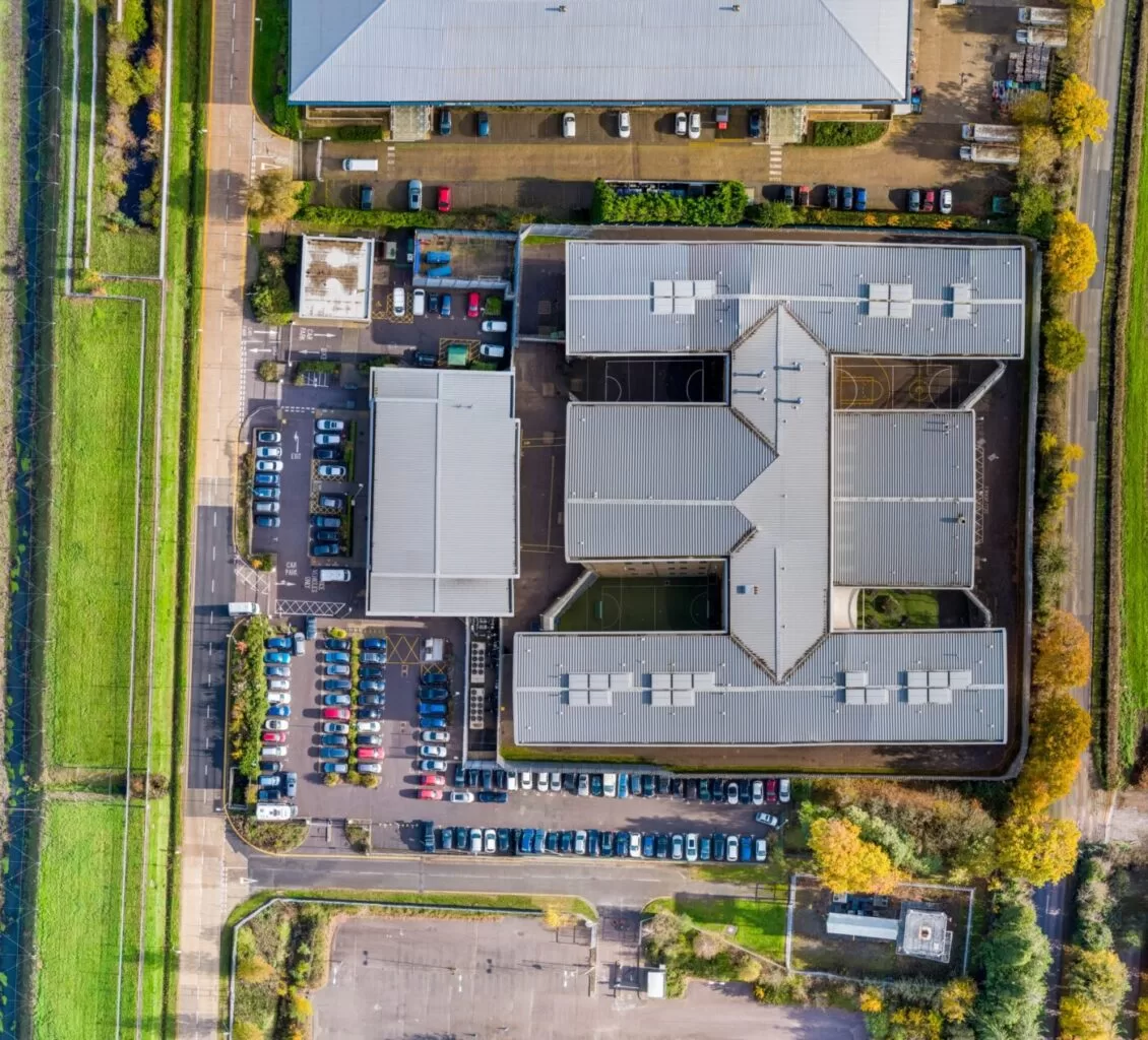
A measured aerial plan of the whole site, with the height model underneath it, flown in a single visit and repeatable to the same specification whenever you need it again. Used for appraisal, promotion, planning submissions, pre-construction records and month-by-month progress. Everyone involved works from the same current picture instead of three different versions of the truth.
The Site As It Is Today, Measured and Repeatable
Land changes faster than the mapping of it. The Ordnance Survey extract is a general record rather than a current one, the satellite imagery is a year or two old and taken at whatever angle the pass happened to give, and the last measured survey was done for a scheme that has since been redesigned twice. Meanwhile the appraisal, the promotion pack, the planning submission and the contractor are all being worked up from slightly different pictures of the same field.
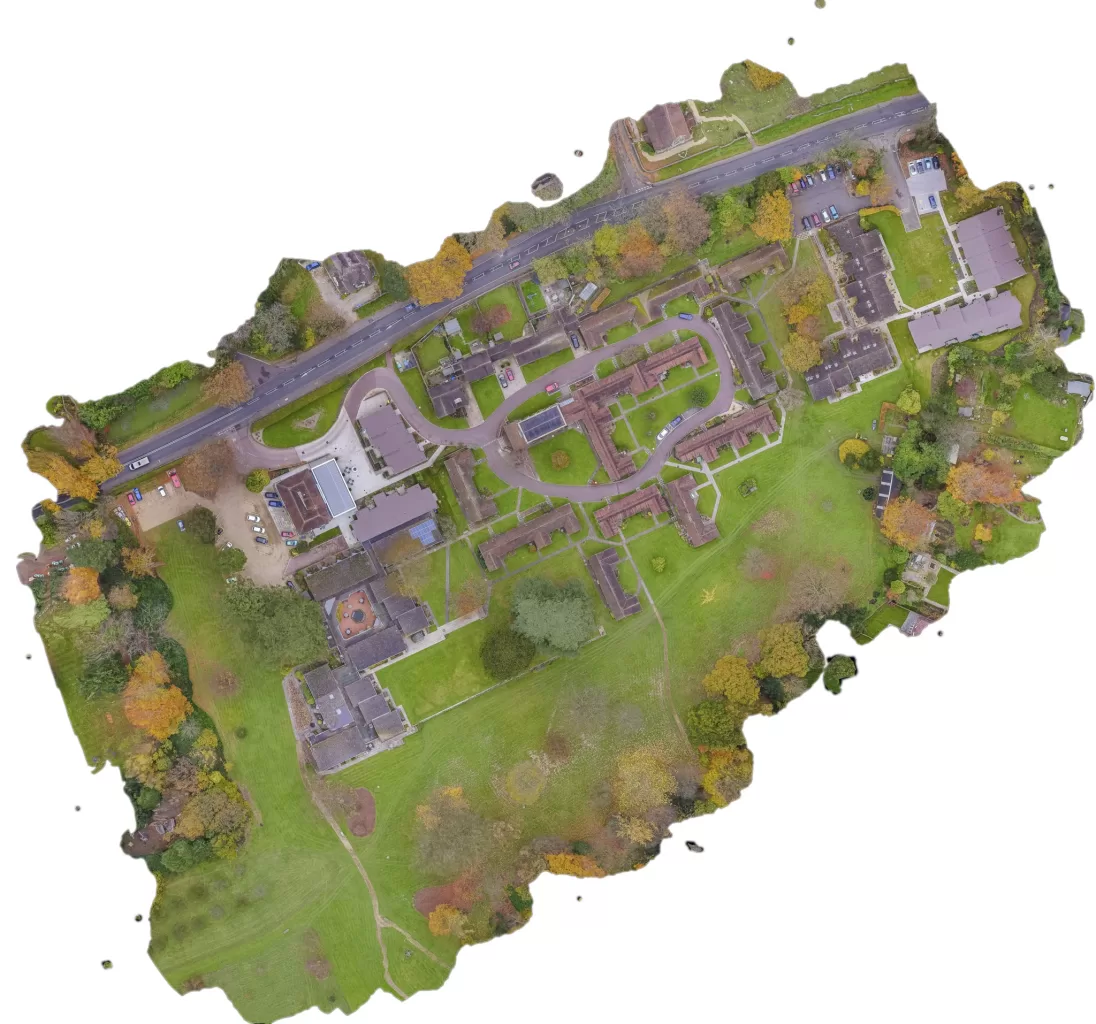
A drone site map replaces those with one measured image of the site as it stands, flown this week, at a resolution where the things that matter to the scheme are actually legible. It can be flown again to exactly the same specification in a month or a year, which is what turns a single map into a record of how the site is changing, and what makes two visits genuinely comparable rather than merely similar.
Where a Site Map Earns Its Keep
One flight, used by four different people for four different reasons
At appraisal, before much has been spent, a current map answers the questions that otherwise get answered by assumption. What is actually on the land now, where the existing accesses run, how the boundaries sit against the title plan, what the neighbouring uses look like from above, and whether the constraints everybody has been told about are really where they are said to be.
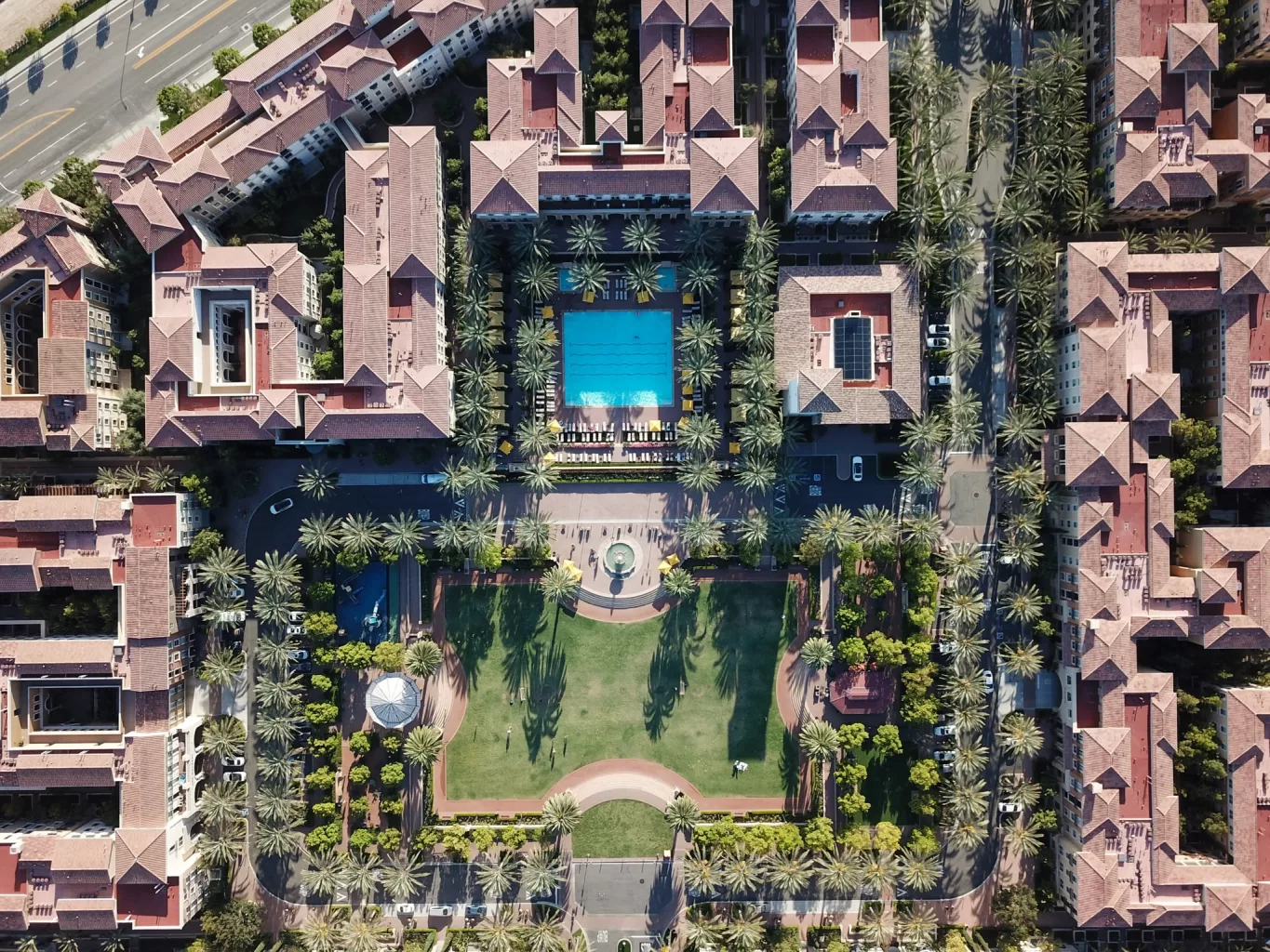
At promotion and marketing, the same orthomosaic is the base layer for the illustrative masterplan, the CGI and the particulars. A modelling firm can work directly on top of a measured image rather than tracing an old aerial photograph, and the resulting visual sits correctly over the real site instead of approximately over it.
Into planning and design, the surface model carries the levels. Falls across the site, existing ground profile, the height of what is already there, and enough to put early cut and fill and drainage thinking on a real footing rather than an allowance. Your engineer works from the data; we do not offer the engineering opinion on it.
Once the site is live, the same specification flown monthly becomes a progress record: what has been stripped, what has been built, where the material has gone, how the compound and haul routes are working. It is also the neutral record when a valuation, a payment application or a programme claim depends on what the site actually looked like on a given date.
At a glance
What site mapping gives a developer, land promoter or agent, and where it stops.
- One measured aerial plan of the whole site as it is now, with true distances and areas, at a resolution chosen for the scheme rather than picked at random.
- A surface model from the same flight, which is what levels, falls, cut and fill estimates and drainage thinking actually run on.
- Repeatable. Flown again to an identical specification, so month-to-month change is a real measurement rather than an impression.
- Serves appraisal, promotion, planning submissions, contractor briefing and the pre-construction record from a single visit.
- Quoted as an Ortho where the map is for seeing, showing and planning, or as a Survey where the position has to tie into a design, a grid connection or a third party’s data.
- What it is not: a drawing, a topographic survey in the chartered sense, or anything that sees underground. It is measurable imagery and height data, supplied so your own consultants can work from it.
Fly once, and appraisal, planning, promotion and the site team all argue from the same picture.
Often Asked For Alongside It
What It Costs, and Why Nobody Can Quote It From a Table
Three things drive it, and only one of them is the size of the site
Rates per hectare are published widely and they are the wrong unit, because the hectares are rarely what makes a job expensive.
The resolution does. Halving the pixel size means flying lower, which multiplies the number of images, the flight time, the processing and the file size. A map that has to resolve a fence post is a different job from one that has to show a field boundary, on identical land.
Whether the position has to be proved does. An Ortho is flown, processed and delivered. A Survey adds measured ground control across the site and independent points held back from the calculation, which is time on the ground and the difference between a map you can use and a map you can defend.
And the site itself does. Airspace near an airfield, sensitive neighbours, tree cover, terrain, safe launch positions and how much of it can be flown in one sortie all move the day more than the area does.
So the quotation follows a conversation rather than a calculator. Tell us the site, the resolution the scheme actually needs and whether anything downstream depends on absolute position, and you get a fixed price with the deliverables and the claim written into it in plain words. Where a repeat programme is wanted, the specification is fixed once at the first visit and every later flight is priced against it.
Progress Mapping a Redevelopment Site, Visit After Visit
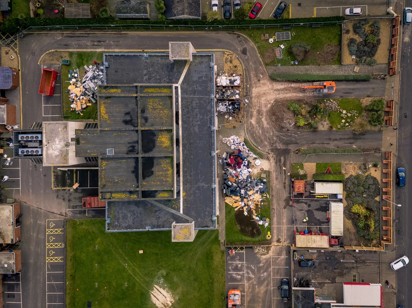
A programme of construction progress mapping across a major redevelopment site in Crawley, flown inside controlled airspace close to Gatwick, which meant airspace planning and operating risk assessment before every mission. Each survey held identical altitude, overlap and imaging parameters, giving the project team a consistent baseline for tracking excavation, building footprints, plant movement and site logistics between visits.
Flying the Same Site Again, and Why That Is the Hard Part
Any competent operator can fly a site once. The value in a development programme comes from the second, fifth and twelfth flights being genuinely comparable with the first, and that is where most progress mapping quietly falls down.
If the specification drifts, the comparison is worthless. A different height, a different overlap, a different time of day, a different processing setting, and two maps of the same site will disagree in ways that have nothing to do with the site. Somebody then measures the difference and reports it as change, which is worse than having no map at all, because it looks like data.
So the specification is decided once and written down. Flight height, overlap, camera settings, flight lines, the coordinate system and the processing route are all fixed at the first visit and reproduced exactly on every later one. What was designed at a desk is what gets flown, and the return visit executes the same plan rather than a fresh interpretation of it.
Where absolute position matters, control is measured and independent points are held back on each visit, so each map carries its own evidence rather than inheriting a claim from the first one. Where it does not, the survey is flown as an Ortho and the map is honest about being a relative measurement product.
Every flight is also recorded so it can be recomputed. The full raw satellite log runs on the ground throughout, which means a survey can be reprocessed later if a question is ever raised about it, rather than being defended from memory. On a programme running across two or three years, with people joining and leaving the project, that turns out to matter more than it sounds at the first visit.
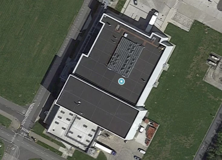
Two height products come out of the same flight and they are constantly confused, which matters because only one of them answers a levels question.
A Digital Surface Model, or DSM, is a height map of everything the camera can see: the ground where it is bare, but also hedges, trees, buildings, spoil heaps, plant and parked vehicles. A Digital Terrain Model, or DTM, is a height map of the bare ground with all of that stripped away, and it is what earthworks, drainage and cut and fill actually need.
The honest limit is this: photogrammetry can only model what it can see. On open ground, in a stripped site, or across scrub, the surface and the terrain are close enough that a reliable terrain model can be produced. Under a closed tree canopy, they are not. No amount of processing recovers ground the camera never had sight of, and a terrain model generated there is an interpolation dressed up as a measurement.
So the question at enquiry is what the model is for. If it is site appreciation, promotion, progress or volumes above ground, a surface model does the job and does it well. If it is a levels design across a wooded site, that is a LiDAR survey or a ground crew, and the right answer is to say so at the enquiry rather than to deliver something that looks like an answer and is not.
- Mapping deliverables are supplied georeferenced, on British National Grid (EPSG:27700) using the Ordnance Survey OSTN15 transformation, with heights on Ordnance Datum Newlyn via the OSGM15 geoid model where orthometric heights are required.
- Where positional accuracy is sold, it is evidenced by independently measured check points withheld from the adjustment and reported as a measured result for that survey. Where it is not sold, no absolute position is claimed and the deliverable is stated as a relative measurement product.
- Repeat surveys are flown to the specification fixed at the first visit, so that change measured between visits is attributable to the site rather than to the method.
- Flight operations are conducted under a Civil Aviation Authority Operational Authorisation held against the PDRA-01 standard scenario, with a General VLOS Certificate (GVC) and an A2 Certificate of Competency.
- Drone Media Imaging provides survey, mapping and reporting services. No chartered surveying designation is held or implied; boundary determination, engineering and geotechnical opinion, and the detection of underground services all remain outside the scope of an aerial survey.
Tell Us the Site and What the Data Has to Do
Send us the site location, roughly the area, and what the data has to support: appraisal, promotion, a planning submission, levels, or progress through construction. You will get a fixed price with the deliverables and the claim written into it in plain words, and an honest answer about anything an aerial survey cannot tell you. If the site is going to want flying more than once, say so at the enquiry, because the specification is worth fixing properly the first time.



