

Showcasing Your Property Portfolio
Managing a commercial property portfolio is a demanding and competitive area and marketing these assets to potential investors is a key part of any successful management strategy.
Aerial footage, now achievable via UAVs or drones, offers an incredible tool for property marketing. It allows the asset to be shown within its environment which can be vital in showcasing a property’s selling points. It also offers a unique and eye catching perspective and can display a property’s unique features that cannot be seen from ground level, such as road links, views, penthouses and roof terraces.
Drones can be used to produce both short aerial videos and still images. Combine this with our professional ground level videography and photography and you can create a very complete and appealing picture of a property to show to investors.
Drone Services Enquiry
Thermography | Inspections | Solar | Photogrammetry
Discover how drone technology can enhance your operations with a free quotation from our experts. Get a Free Quote or Make an Enquiry Today!
related posts
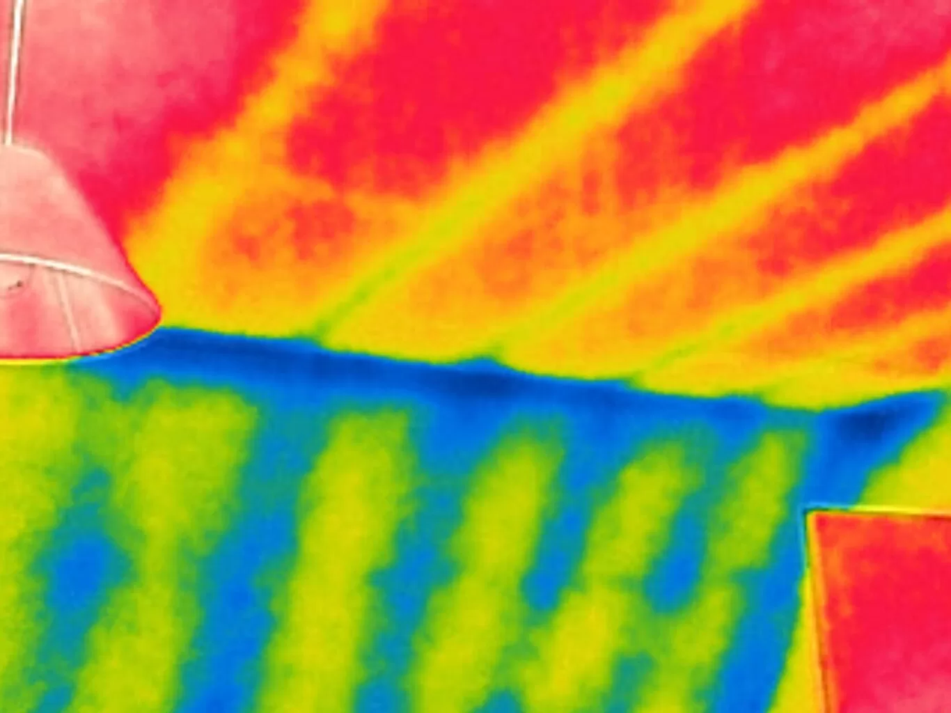
Level 3 thermography certification is the highest qualification for thermographers, focusing on advanced infrared inspection techniques, program management, and compliance. It prepares professionals to establish and oversee thermography programs across industries, ensuring accuracy and standardisation in inspections and reports

Capture the magic of BBC Children in Need 2023 with stunning drone aerial views! Our expert team will skillfully navigate the skies, providing breathtaking footage that showcases the incredible work being done. From heartwarming stories to unforgettable moments, our drone shots will elevate your content and help raise awareness for this important cause.
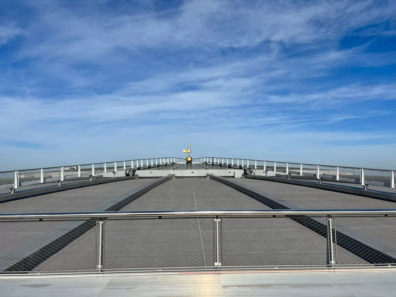
Exciting Dare Skywalk Edge attraction at Tottenham Hotspur Stadium, offering breathtaking views of London, taken from our BBC filming recce day.