Industry-Leading Drone Services Across the UK
Certified Aerial Experts in Thermography, Inspections, Mapping & Filming
Advanced Drone Technology | High-Precision Aerial Data | Cost-Effective & Fully Compliant Solutions
Drone Media Imaging provides professional UAV services for aerial inspections, surveying, and media production across the UK. Our CAA-certified drone pilots specialise in high-precision thermal imaging, solar panel assessments, topographic mapping, and commercial photography & filming. Whether you need detailed asset surveys, structural assessments, or stunning aerial visuals, our cutting-edge drone technology ensures fast, safe, and cost-effective solutions for businesses, contractors, and industries nationwide.
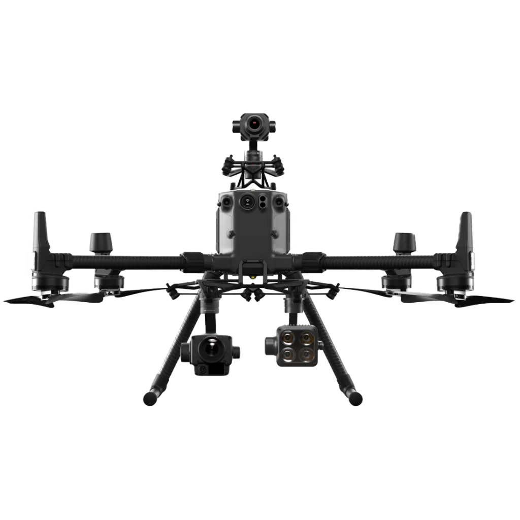
Drone Media Imaging delivers professional drone services UK-wide, specialising in aerial thermography, solar panel inspections, asset surveys, photogrammetry, and aerial photography & filming. Using advanced UAV technology and operated by CAA-certified drone pilots, our high-precision aerial solutions help businesses across construction, energy, real estate, and media industries. From detailed drone inspections to high-resolution mapping, we provide fast, cost-effective, and accurate data acquisition for commercial, industrial, and domestic clients.
Why Choose Drone Media Imaging?
Industry Authority & Expertise
As a CAA-certified drone operator with specialist qualifications in Level 3 Aerial Thermography & IEC62446-3:2017 Solar Inspections, we ensure precision, compliance, and industry-leading expertise in every project.
Who We Serve
Service Coverage
UK-Wide Operations – We provide drone services across England, Scotland, Wales, and Northern Ireland.
Elevate Your Business with Expert Drone Solutions!
Discover how drone technology can enhance your operations with a free quotation from our experts. Unlock high-precision aerial insights with our approved and certified drone services, near you. For Solar, Inspections, Surveying, Mapping, Photography, and Video Media Production across the UK.
Get Your Free Consultation Today!
what services do we offer?
Drone aerial services involve the use of Unmanned Aerial Vehicles (UAVs) to capture high-accuracy visual, thermal, and geospatial data for businesses, industries, and media production. Equipped with high-resolution cameras, LiDAR sensors, and thermal imaging technology, drones provide detailed insights into hard-to-reach or large-scale environments.
Why Choose Drone Technology?
Traditional surveying, inspections, and aerial imaging methods often require manual assessments, scaffolding, helicopters, or ground-based equipment—all of which are costly, time-consuming, and potentially dangerous. Drone technology offers a safer, faster, and more affordable alternative by providing:
How Drone Media Imaging Can Help
Our expert drone pilots and certified aerial specialists deliver tailored solutions for:
Drones provide faster, safer, and more cost-effective data collection with high-accuracy imagery and real-time reporting.
Drone technology is used in construction, real estate, energy, engineering, and media production, improving efficiency and reducing costs.
Yes, all our pilots are CAA O/A and A2 C of C certified and fully insured, ensuring compliance with UK drone regulations.
Yes, we offer roof, chimney, and property inspections for homeowners and estate managers.
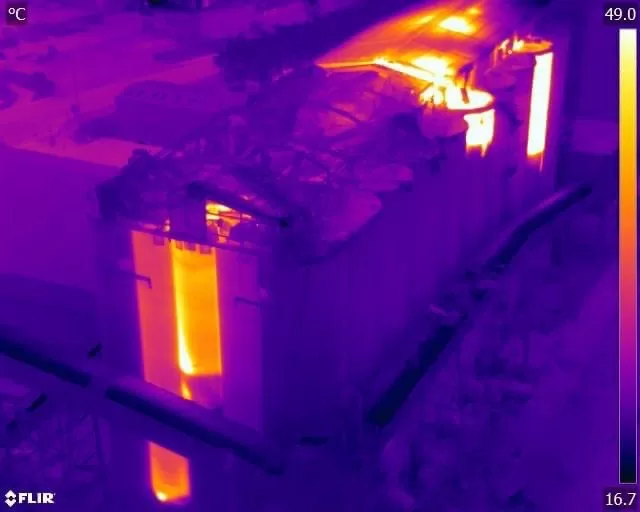
Yes, we offer Level 3 Aerial Thermography for solar, electrical, and building inspections.
Yes, we specialise in photogrammetry & 3D mapping, generating orthomosaic maps, DSM/DTM models, and CAD-ready site data for surveyors and engineers.
Simply contact us for a free consultation, and our experts will discuss your project requirements, pricing, and scheduling options. 📞 Get in touch today!
Yes, we provide topographic mapping, volumetric analysis, and progress monitoring for construction and infrastructure development.
We use professional-grade cameras and stabilised UAV systems, delivering cinematic 4K video and high-resolution photography for marketing and media.
We use high-resolution thermal imaging to detect hotspots, panel degradation, and electrical faults, ensuring compliance with IEC62446-3:2017 standards.



