Drones and Construction Projects


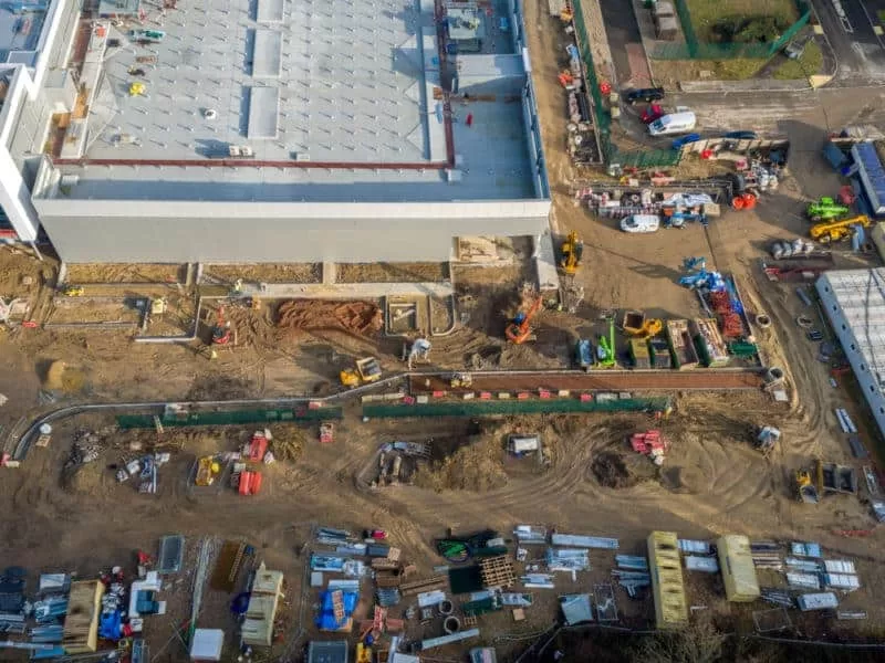
As part of a recent series of flights to capture photo and video of this huge construction site, this was a separate flight to capture the impressive glass front of the building from a separate location. This flight took place on a Sunday afternoon as the clients wanted the site to be free of construction workers and vehicles.
We had negotiated with a local car garage to use their forecourt out of hours to give us a good vantage point to capture the entirety of the building which was too close to the road to fly from the property itself. A good point to fly from was one of the issues that we had to contend with on this assignment, with the other being the location’s proximity to Gatwick Airport, just outside the ‘no-fly’ zone. With all the proper preparations completed, all relevant parties notified and NATS permissions received, it was a relatively straightforward flight.
This is why the exact details of the project are required before we can carry out our desk research and create an accurate quotation. It can be a matter of metres between being able to fly or not and the receipt of the proper permissions can create a few extra days delay in flight planning. So if you have a requirement for drone, then there’s a simple form for you to complete to give us all of the relevant information that we need to create a proper assessment of your needs and quotation for the work. Just use the link below or visit the ‘Make an Enquiry’ section of this website.
Drone Services Enquiry
Thermography | Inspections | Solar | Photogrammetry
Discover how drone technology can enhance your operations with a free quotation from our experts. Get a Free Quote or Make an Enquiry Today!
related posts

Drone Media Imaging's collaboration with BBC One Show in capturing the plight of Loddington Farm has illuminated the challenges faced by British apple growers.
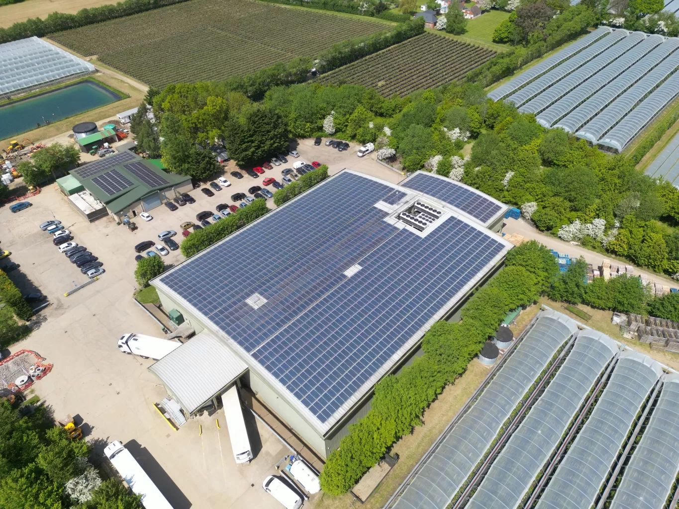
Winterwood Farms in Maidstone can rely on IEC's thermal expert solar panel inspection services to ensure optimal performance during the winter months. Our team of professionals will thoroughly assess the panels, identifying any issues that may affect efficiency. With our comprehensive inspection, Winterwood Farms can maximise energy production and minimise potential downtime.