Drones can Help you to Sell your Property
Drones can Help you to Sell your Property
Today’s property market is an incredibly competitive environment and sellers are always looking for ways to present their property in such a way that it stands out from the rest. Drone photography and videography can be the perfect way to do this.
Unlike ‘the old days’, buyers are not likely to be limited to the properties on display in the window of an estate agent. Instead, they have the freedom to browse online finding properties that exactly suit their needs and budgets and so they will be often overwhelmed by the sheer choice available. When they find something that they think might fit the bill, they will likely spend time finding all they can about it online before they even think about viewing it in person. So it’s important that your property’s online presence really demonstrates all its key selling points so your potential buyer doesn’t simply click on by to the next one.
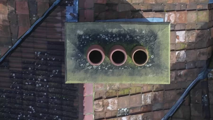
Drone footage offers an aerial perspective that can show exactly how your home fits within its environment – for example, tucked in the midst of a valley or just a stone’s throw from the beach. The addition of aerial videography can allow you to add a cinematic edge to this, even incorporating music to evoke exactly the kind of emotion in the viewer that you are looking for and really make your property stand out from the crowd. With the right aerial (and ground based) images and video It is almost possible to make your potential buyer fall in love with your home before they even set foot in it.
Display your Property Across Multiple Channels
Whether you are using the services of an estate agent or marketing your property yourself, there can be no harm in making sure that it is as visible as possible. Aerial photography and videos can be displayed across any number of social media channels, including YouTube to gain the maximum exposure.
Estate Agents that DIY vs Professional Drone Pilot
Estate agents in the past have been guilty of cutting corners and taking their own UAV images. However, it’s important to know that unless they also hold the relevant CAA permissions and commercial insurance, they are breaking the law. Due to the time and expense involved in becoming a legal drone pilot, there certainly aren’t many estate agents out there who have actually achieved this level of qualification. If your estate agent has offered this service to you, you should definitely ask to see their PfCO and Insurance Certificate.
Aside from this, it’s likely that a qualified drone professional will be able to offer you a higher quality of service that someone who is not practiced and experienced in doing so. A professional drone pilot will discuss with you beforehand all that is required to get your property looking its best and also any legal requirements that you need to take care of (such as informing your neighbours). Further to this, they will discuss with you the time of day and weather conditions which will showcase your property in the best possible way and any aspects that you would like featured in order to really turn a buyer’s head.


Drone Services Enquiry
Thermography | Inspections | Solar | Photogrammetry
Discover how drone technology can enhance your operations with a free quotation from our experts. Get a Free Quote or Make an Enquiry Today!
related posts
Thermal surveys are revolutionising insulation evaluation and enhancement in buildings. They uncover hidden gaps, leading to targeted improvements that result in reduced energy bills and increased comfort. They also contribute to sustainability goals, making them an essential tool for property owners and policymakers.
Trained and Certified in Aerial Thermography
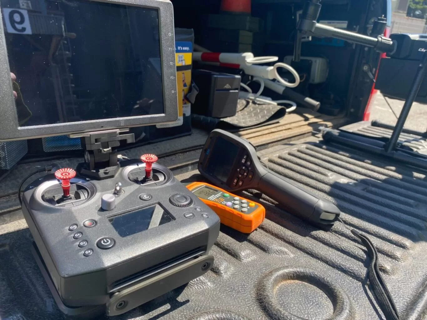
Drone Media Imaging use trained and certified thermographers to deliver thermographic services and inspections across many domestic, industrial and commercial sectors throughout the UK. Whether it is solar photovoltaic panel inspection in accordance with IEC 62446-3:2017 and BS EN ISO 62446-1:2016 or fire detection and management in disasters zones or underground landfill fires, Drone Media Imaging can deploy across the UK quickly, efficiently and with the right experience.
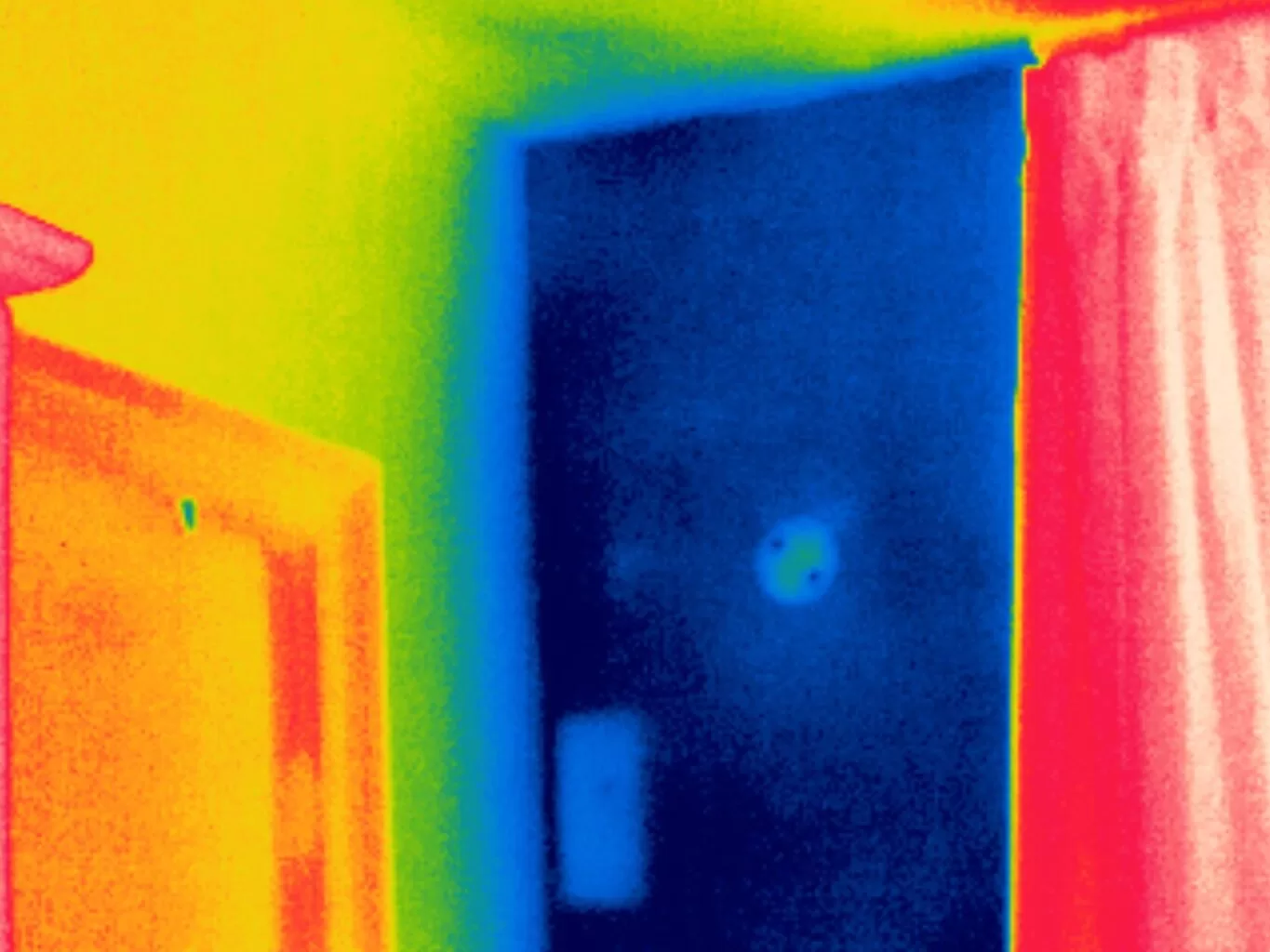
Aerial Thermography Category 2 Thermography certification to category level 2 focuses on radiometric temperature measurement analysis and the benefits of obtaining precise temperature data from challenging environments for diagnosing and reporting purposes. Whether for qualitative evaluation or quantitative evaluation our report and diagnosis analysis provide you with answers following a non-destructive inspection format from the air via UAV drones equipped with the latest technology. Drone Media Imaging is a small but unique drone operations company specialising in airborne thermal imaging across the UK. Our certification and experience when paired with our CAA enhanced OSC permissions, means we are more than capable of performing any aerial thermal imaging job however challenging. As level 2 thermographers we dive into the fundamental principles of surface emissivity, reflected temperature correction, spatial and measurement resolutions, and as a result providing clients with accurate data reporting that can be trusted.
Aerial Thermal Imaging Infrared Cameras Thermal Imaging cameras capture the reflected radiation from a surface or heat source and convert the recorded temperatures to an image map for analysis. This unique worldview provides numerous advantageous and cost-effective non-destructive options for commercial and residential needs. Aerial thermal cameras of the highest quality provide non-contact temperature measurements in difficult to reach locations that cannot be observe from the ground. As is the case with all drone inspections, the hazards connected with operating at a height are minimised as is the potential of inflicting damage to the structure during the inspection procedure.
Case Study – Explosion at a Grain Store Port of Tilbury London Following an explosion at the Port of Tilbury London grain store in July 2020, Drone Media Imaging were hired to provide aerial thermal data support to emergency service gold commanders and the senior management for the grain store. Flying thermographic data collection missions, hourly, daily, and weekly for over 13 months from the initial explosion and subsequent silo fires, we provided important thermal data reports as the fire developed, enabling the fire management strategy to be accurately measured over time. Comprehensive reports, thermal imaging, RGB photography, and video pictures were used to provide the information essential to effectively manage the problem until the building was destroyed in 2020.