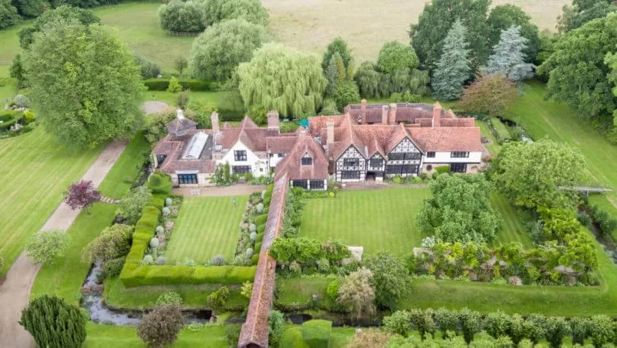
Thermal Camera is State of the Art and Designed for Drone Flight

Drone Media Imaging are based in Sussex but operate nationwide with our state of the art equipment, including our high end thermal imaging camera – the ZenMuse which combines the thermal imaging capabilities of FLIR with the gimbal stabilisation of DJI to provide high quality, rapidly deployable aerial thermal images which can be used for many purposes.
The seamless integration between the camera and the drone means that real time configuration and control is possible at the touch of a button from within the drone software, and the camera operates equally well with our Inspire lightweight agile drones as with our heavy lift drone the Matrice with it’s increased stability and longer flight times so we can provide an aerial vehicle for all situations.

Drone Services Enquiry
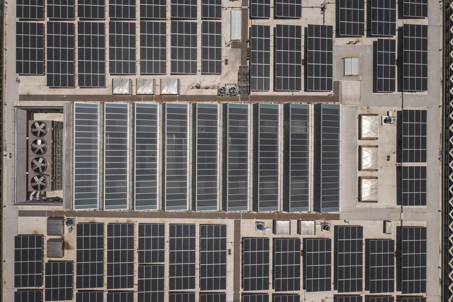
Thermography | Inspections | Solar | Photogrammetry
Discover how drone technology can enhance your operations with a free quotation from our experts. Get a Free Quote or Make an Enquiry Today!
related posts

Conducting an IEC inspection at Trethosa, Cornwall's solar farm for Natural Generation Ltd.Drone Media Imaging examined the solar panels in line with IEC 62446-3:2017 to ensure compliance with safety standards, ensuring optimal performance and longevity of the solar farm.