
Drones & Roof Inspections

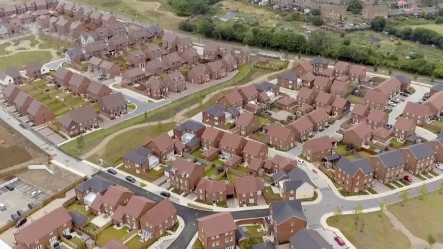
When you normally think about having a roof inspection, you likely think of ladders at least and scaffolding at worst. A human being has to climb on up to the roof with all of the health and safety considerations that this incurs, not to mention the potential for damage to the roof itself during the inspection process.
Drones carrying both standard and thermal cameras offer you the opportunity to carry out a thorough and detailed inspection of the roof from all angles with minimal human intervention – minimising the time, set up and safety risks of traditional inspection methods. Provided that the inspection can be carried with the landowners permission (required for the takeoff and landing site of the drone) the UAV can fly over the roof both recording what is there and also providing live flight data to pinpoint areas for closer or further inspection. Maintenance teams can then be deployed in a targeted way to problem areas if required, making a cost saving and minimising any disruption.
Whilst you are having a standard roof inspection flight, you might also consider having a flight with our drones carrying our state of the art thermal imaging camera. One service fee but with twice the amount of data – a thermal imaging flight will allow you to scan for heat loss and problem areas that may not even be visible to the naked eye. This allows you fix and maintain your roof in advance of serious problems occurring which could save both time and money.
Leverage the power of the drones to make inspections quicker, safer and more cost effective.
Expert Infrared Inspections for Accurate Thermal Assessments
Need professional thermographic analysis for your project? Our certified experts use the latest infrared technology to deliver precise results. Contact Drone Media Imaging today for expert thermal imaging services.
related posts
Trained and Certified in Aerial Thermography
Drone Media Imaging use trained and certified thermographers to deliver thermographic services and inspections across many domestic, industrial and commercial sectors throughout the UK. Whether it is solar photovoltaic panel inspection in accordance with IEC 62446-3:2017 and BS EN ISO 62446-1:2016 or fire detection and management in disasters zones or underground landfill fires, Drone Media Imaging can deploy across the UK quickly, efficiently and with the right experience.
Aerial Thermography Category 2 Thermography certification to category level 2 focuses on radiometric temperature measurement analysis and the benefits of obtaining precise temperature data from challenging environments for diagnosing and reporting purposes. Whether for qualitative evaluation or quantitative evaluation our report and diagnosis analysis provide you with answers following a non-destructive inspection format from the air via UAV drones equipped with the latest technology. Drone Media Imaging is a small but unique drone operations company specialising in airborne thermal imaging across the UK. Our certification and experience when paired with our CAA enhanced OSC permissions, means we are more than capable of performing any aerial thermal imaging job however challenging. As level 2 thermographers we dive into the fundamental principles of surface emissivity, reflected temperature correction, spatial and measurement resolutions, and as a result providing clients with accurate data reporting that can be trusted.
Aerial Thermal Imaging Infrared Cameras Thermal Imaging cameras capture the reflected radiation from a surface or heat source and convert the recorded temperatures to an image map for analysis. This unique worldview provides numerous advantageous and cost-effective non-destructive options for commercial and residential needs. Aerial thermal cameras of the highest quality provide non-contact temperature measurements in difficult to reach locations that cannot be observe from the ground. As is the case with all drone inspections, the hazards connected with operating at a height are minimised as is the potential of inflicting damage to the structure during the inspection procedure.
Case Study – Explosion at a Grain Store Port of Tilbury London Following an explosion at the Port of Tilbury London grain store in July 2020, Drone Media Imaging were hired to provide aerial thermal data support to emergency service gold commanders and the senior management for the grain store. Flying thermographic data collection missions, hourly, daily, and weekly for over 13 months from the initial explosion and subsequent silo fires, we provided important thermal data reports as the fire developed, enabling the fire management strategy to be accurately measured over time. Comprehensive reports, thermal imaging, RGB photography, and video pictures were used to provide the information essential to effectively manage the problem until the building was destroyed in 2020.