Blog Content TL;DR...
Enhancing Fire Safety Measures:
The Role of Drone Environmental Thermal Imaging in Solid Waste Landfill Sites
The Solid Waste Landfilling (SWL) holds a high risk of fire emergencies and represents hazards to people and to the environment mainly due to sub-products, odours and volatile and non-volatile compounds from the immense heat caused by decaying solid matter.
Solid waste landfill sites are essential for managing and disposing of our society’s waste. However, these sites pose significant fire risks that can have devastating consequences for both the environment and public health. Traditional fire survey methods have limitations in detecting and preventing fires in these areas. Fortunately, the emergence of drone technology and thermal imaging has revolutionised fire safety measures in solid waste landfill sites.
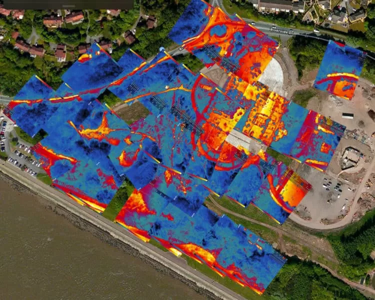
Drones equipped with thermal imaging cameras have become invaluable tools in identifying potential fire hazards in landfill sites. These cameras can detect temperature variations and hotspots, allowing operators to identify areas at risk of combustion. By providing real-time data and high-resolution images, drones enable landfill operators to monitor the site more effectively and take proactive measures to prevent fires.
According to a study conducted by the National Fire Protection Association (NFPA), landfill fires are a significant concern, with an estimated 5,000 landfill fires occurring in the United States each year. These fires release harmful pollutants into the air, such as dioxins, furans, and volatile organic compounds, posing serious health risks to nearby communities. By utilising drone environmental thermal imaging, landfill operators can detect potential fire outbreaks early on, minimizing the risk of these hazardous emissions.
Revolutionising Fire Surveys: How Drones and Thermal Imaging Technology are Transforming Solid Waste Landfill Site Management
The integration of drones and thermal imaging technology has revolutionised fire surveys in solid waste landfill site management. Traditional fire surveys often involve manual inspections, which are time-consuming, costly, and can be hazardous for workers. Drones equipped with thermal imaging cameras offer a safer, more efficient, and cost-effective alternative.
One of the key advantages of using drones for fire surveys is their ability to cover large areas quickly and efficiently. With their aerial capabilities, drones can capture thermal images of the entire landfill site in a fraction of the time it would take for manual inspections. This allows operators to identify potential fire risks promptly and take immediate action to prevent fires from spreading.
Furthermore, drones equipped with thermal imaging cameras can detect fires even in areas that are difficult to access or hidden from view. Landfill sites often have uneven terrain and various structures, making it challenging for manual inspections to identify potential fire hotspots. Drones can navigate these obstacles effortlessly, capturing thermal images of hidden areas and providing a comprehensive view of the site’s fire risks.
The use of drones and thermal imaging technology in solid waste landfill site management has already shown promising results. In a case study conducted by a waste management company, the implementation of drone environmental thermal imaging reduced the number of fire incidents by 40% in a landfill site. This significant reduction not only saved the company substantial costs associated with fire damage but also minimised the environmental impact and potential health risks to nearby communities.
The integration of drone environmental thermal imaging has enhanced fire safety measures in solid waste landfill sites. By providing real-time data, high-resolution images, and the ability to cover large areas efficiently, drones equipped with thermal imaging cameras have revolutionised fire surveys in these areas. The use of this technology not only minimises the risk of fire outbreaks but also reduces the environmental impact and potential health risks associated with landfill fires. As the technology continues to advance, it is expected that drone environmental thermal imaging will become an indispensable tool in solid waste landfill site management.
Using drones fitted with Thermal Imaging sensors to detect thermal emissions (looking for fire upfront and localised ignition points), chemical and physical parameters (CO, NOx, O3, CH4, air temperature, relative humidity, etc.). Moreover, the availability of viewpoints at different altitudes allow to enlarge the monitored area with full geometrical resolution using only one camera.
What is Thermal Imaging
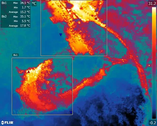
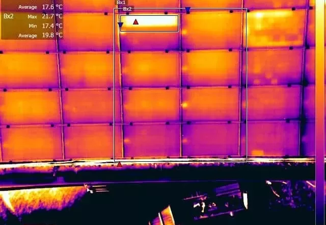
Thermal imaging, or thermography, is the detection and measuring of radiation in the infrared spectrum being emitted from an object with the use of thermographic cameras. These infrared imaging systems produce thermal video or still images (thermograms) using colour differences to point out the various temperature points of an object from hot to cold levels. Since the amount of radiation increases with higher temperatures, warm spots will stand out from colder spots on the thermal image. Thermal imaging cameras do not need light to operate, they can detect objects in total darkness or in daylight.
What the Office Cannot Fix: Why Aerial Data Quality Is Decided on Site
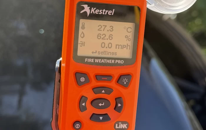
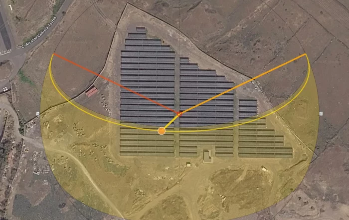
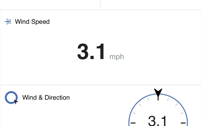
A drone survey flight produces photographs and positions, and that is the whole of the raw material. Everything afterwards is interpretation, so a gap in the imagery stays a gap and a soft frame stays soft. This post sets out what the day of capture actually decides: the light, the wind, the state of the ground, where ground control can physically go on a working site, and the narrow set of checks worth making before the van doors close.


The Roof You Can Reach Is Not the Whole Roof
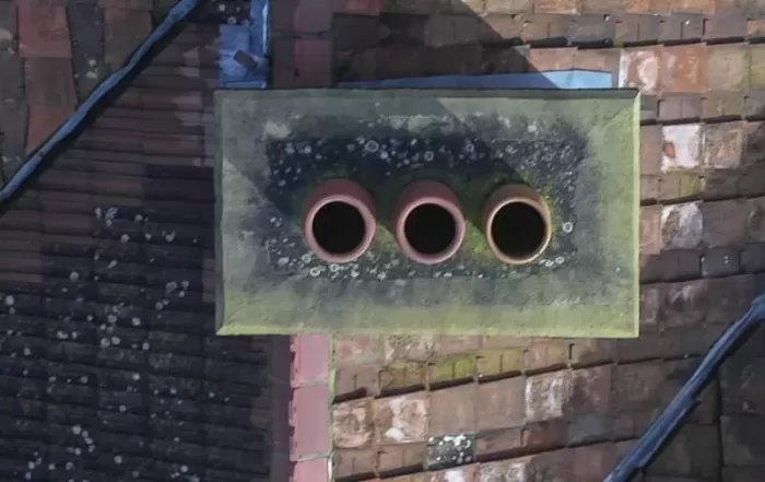
A roof gets inspected in the places a person could stand, and that single fact explains most of what gets found late. Ladders reach the eaves, scaffolds cover one elevation, and fragile coverings restrict a roof walk exactly where the roof is oldest. Photographing from the air removes the constraint rather than the expertise: every slope is covered square on, and the interpretation stays with your roofer or surveyor.

Domestic Solar Layout: Why the Roof Decides What Can Be Inspected
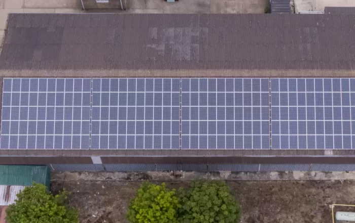
A domestic solar array is rarely laid out the way anyone would choose. Pitch and orientation are inherited from the building, and shading from chimneys, dormers and trees removes usable area before the layout is drawn. What gets installed is the residual. Those same decisions fix the plane the modules sit in, and so fix the directions from which they can usefully be imaged afterwards, which is why a rooftop array is awkward to assess from ground level.
Thermal Imaging Surveys with Drone Media Imaging
Your Content Goes Here
related posts
A drone survey flight produces photographs and positions, and that is the whole of the raw material. Everything afterwards is interpretation, so a gap in the imagery stays a gap and a soft frame stays soft. This post sets out what the day of capture actually decides: the light, the wind, the state of the ground, where ground control can physically go on a working site, and the narrow set of checks worth making before the van doors close.

A site owner's question is usually whether a drone is allowed. The regulations answer a different one: how far the aircraft must stay from people who are not part of the operation. That distance is not fixed. It moves with the authorisation the operator holds, the mass and class of the aircraft flown, and how the people on site are briefed. This is what actually decides whether a working site can be flown, and the small part the client plays in it.