Construction and Drone Surveys & Photography
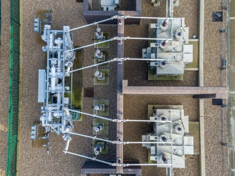
A bird’s eye view of a construction site or project can be a huge advantage at all stages of development, from before construction begins to surveying the finished product and how it sits within its environment. Drones offer a fast and easy way to accomplish this with minimal interruption on site and at a fraction of the cost of traditional piloted aerial methods.
From survey the land at the start of the project, drone photography and videography can provide huge benefits to all parties. Their ability to gather accurate measurements, thermal readings and even to create 3D models can prove vital in highlighting problems and opportunities at the planning stage and prevent problems during the project. The construction industry is in fact forecast to be the biggest user of commercial drones for exactly these reasons (and more).
The relatively low cost of a drone flight means that regular surveys are a small part of the overall budget that can offer huge benefits and savings in terms of surveying progress and spotting potential problems. Progress against targets can be quickly and easily assessed with timelines, logistics and workforce being scaled as required. This kind of accurate progress analysis can save a great deal in terms of personnel costs and plant / equipment hire – allowing a ‘just in time’ method to be utilised.
The aerial perspective can also be key to spotting potential health and safety issues and hazards along with areas that may be vulnerable to theft and vandalism. Saved images and footage can also provide a valuable record of the project as a whole and reduce the risk of legal challenges
The images are also an excellent way to keep project staff and clients informed of progress in detail and at regular intervals. In addition to this, the smooth running of a construction project can be visually recorded and prove a valuable marketing tool during dealings with potential clients.
How Drones Can Help with Construction Project Management
Drone Services Enquiry
Thermography | Inspections | Solar | Photogrammetry
Discover how drone technology can enhance your operations with a free quotation from our experts. Get a Free Quote or Make an Enquiry Today!
related posts

Revolutionizing Insurance Claims: Drones Take Rooftop Inspections to New Heights!

Thermal imaging technology is a powerful tool for building surveys, allowing for the detection of hidden issues that affect a building's efficiency and structural integrity. It can uncover insulation deficiencies, diagnose HVAC system malfunctions, and even detect water leaks and electrical faults. By utilizing thermal imaging, property owners and surveyors can proactively address problems, saving time, money, and preventing further damage. As we move towards smart building diagnostics, thermal imaging is a critical component in ensuring the longevity and sustainability of our built environment.