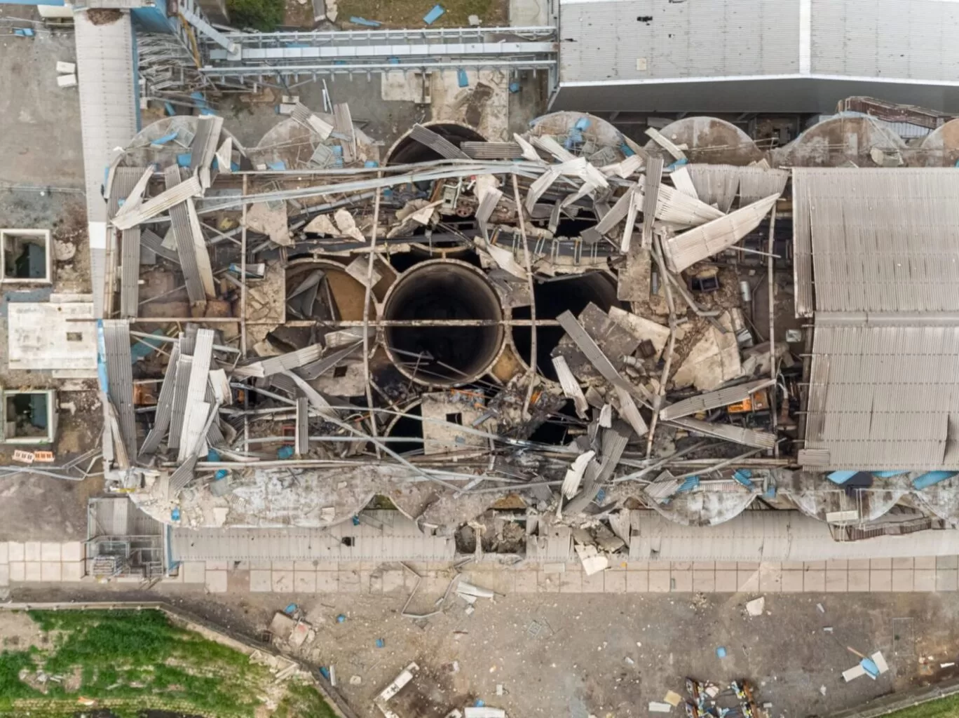
Aerial Photography as a Tool in Commercial Property Management


We have been working with this particular asset management company for some months now, providing them with updated photographs of their properties working across the UK. On this occasion, we grouped together these three properties in Nottingham, Coventry and Bury to create a small two day ‘Northern Tour’ to maximise their photography investment with us.
Not all locations are suitable for drone photography as there are strict legal requirements governing where we are able to fly. However all three of these locations met the necessary criteria to allow us to capture aerial photographs and combine these with our mast and ground level photography to provide the most complete picture possible of each of their assets.
Commercial photography can be used for…
MAKE AN ENQUIRYMAKE AN ENQUIRY
Drone Services Enquiry
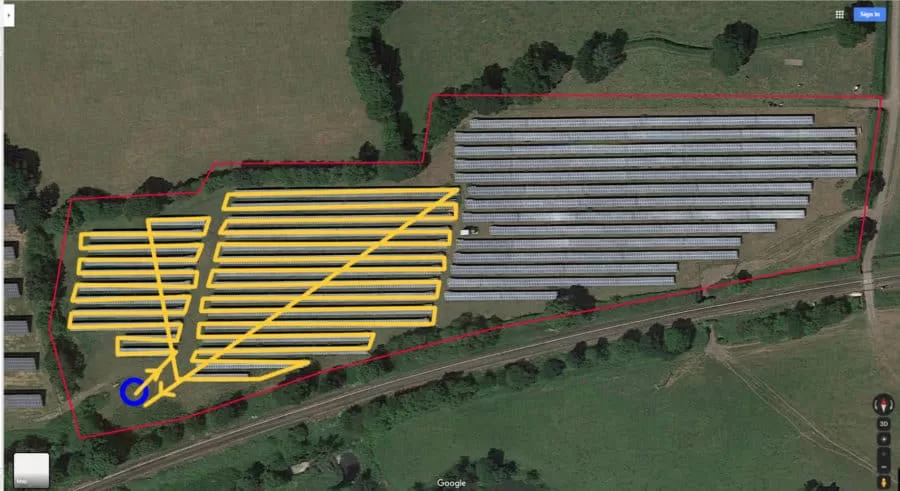
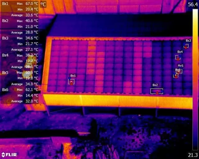
Thermography | Inspections | Solar | Photogrammetry
Discover how drone technology can enhance your operations with a free quotation from our experts. Get a Free Quote or Make an Enquiry Today!