Demolition Company Projects and Drone Video and Still Images
Drone Media Imaging – initial flight footage of a demolition project – MGM House in Worthing, West Sussex
Demolition projects tend by nature to be large in area and difficult to photograph from ground level.
Without a bird’s eye view, potential clients may not get the full picture of the scale of your project and capabilities. The cost of hiring a helicopter is prohibitive and ladders and basket cranes are limited in terms of perspective and angles available for image capture.
Drones however are agile enough to carry out aerial film and still photography both safely and speedily making them the perfect choice for capturing demolition operations. The fact that flights can be arranged with minimal interruption to site operations and at such reasonable costs means that you can afford to take a series of images and film footage across the project to capture the process in full. We recommend combining flights at intervals with a permanently fixed onsite time-lapse cameras to enable the creation of case study videos that will showcase your work at the highest level for potential clients.
Drone Media Imaging is of course CAA licensed and fully insured to operate at your site and they offer a suite of service across the UK including
- Photographic site coverage
- Timelapse video creation
- Aerial surveys
- Cinematic quality video footage
- Provision of raw footage to your marketing department
- Complete marketing video creation of your project for use across multiple platforms.
Just get in touch to discuss your requirements and put together the perfect marketing package for your demolition operations.

Drone Services Enquiry
Thermography|Inspections|Solar|Photogrammetry|Filming|Photography
Discover how drone technology can enhance your operations with a free quotation from our experts. Get a Free Quote or Make an Enquiry Today!
related posts
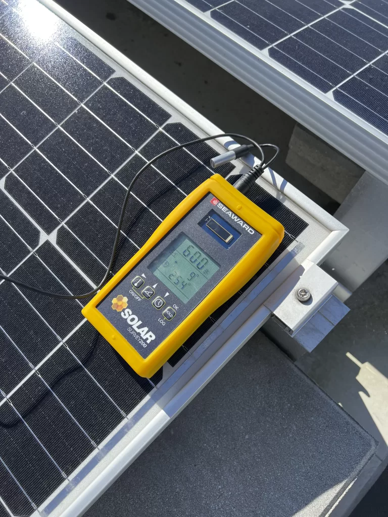
Drone Media Imaging now offers certified IEC 62446-compliant solar string testing, delivering complete electrical diagnostics for commercial PV systems. This new service verifies string integrity, insulation, voltage, current, and performance using advanced I-V curve tracing and Fill Factor analysis. Ideal for commissioning, troubleshooting, and maintenance, our testing supports safety, compliance, and ROI assurance. Combined with thermal imaging, we offer a powerful dual-inspection approach. Book today to ensure your solar array is operating safely, efficiently, and within international performance standards.
Discover the importance of thermal inspections for domestic house rooftop solar panels on private houses. Learn how certified and insured thermographers can mitigate fire safety risks and optimize the efficiency of your domestic solar system.