Commercial PV Solar Farm Inspections by Drone
Drone Thermal Inspection of Solar Farms
![]()
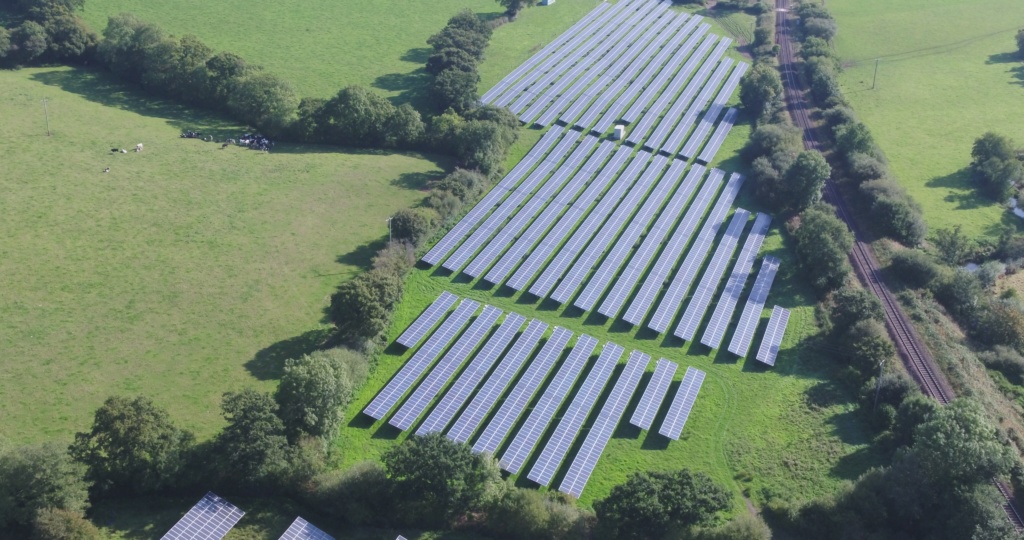
Climate change and the need for renewable energy is driving an unprecedented investment into commercial photovoltaic solar farms. However there any many issues that can result in failures of the panels if not properly and routinely inspected.
Thermal Imaging has long been the technology of choice for fault diagnosis and now using the latest drone thermal imaging cameras in the hands of qualified and experienced aerial UAV operators such as Drone Media Imaging, survey and inspection has never been quicker, cost-efficient and thorough.
Solar PV Farm Survey
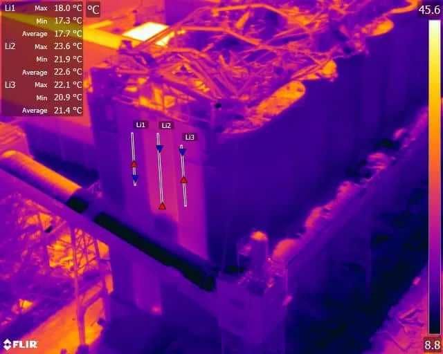
Thermography qualified thermal imaging inspection in accordance with IEC 62446-3:2017 and BS EN ISO 62446-1:2016
Solar Farm Inspections using Drone Thermal Imaging Technology can detect many simple faults quickly, effortlessly and cost-effectively
Get your Commercial Solar Farm Thermal Inspection Quotation Toaday!
We are certified and approved drone pilots and work throughout the UK and Ireland to provide both aerial and ground-based thermography


Recent, Related and Associated Posts

Photogrammetry For Roof inspections, Solar Panels, and Hard-To-Reach Assets: A Technical Approach
Photogrammetry for roofs, solar panels, and complex vertical structures requires far more precision than standard terrain mapping. This post from explores why traditional workflows fall short and how operators can use tools such as terrain-following, custom camera profiles, circlegrammetry, and automated vertical scanning to achieve consistent results. Packed with real-world examples and scientific validation, it provides a practical technical guide to improving model accuracy, mission repeatability, and inspection efficiency across challenging commercial environments.Capturing quality photogrammetry data from vertical and elevated structures remains one of the trickier challenges in commercial drone operations. Traditional surveying workflows fail here. Kristaps Brass, Product Owner at UgCS, has spent years working with operators who tackle these missions daily. Solar farms, building facades, communication towers, dam inspections. The pattern is consistent: manual flying burns time and money, and processed models show gaps where critical details should be. This article covers what actually works, based on field-tested methods and real operator feedback.
Understanding EASA Drone Regulations – Categories and Classes – Part 2
Understanding EASA Drone Regulations Categories and Classes – Part 2 EASA regulations have been developed to allow free circulation of drones within Europe and apply clear and comprehensive safety standards to the field of unmanned aerial systems. They become applicable in the UK on July 1st 2020. This [...]
Hospitality Industry and Drone Photography
In a world where people can shop for their next holiday from the comfort of their desktop or mobile phone, images and video are key to enticing them to visit your hospitality destination above all the others. Holidays are one of most people's biggest expenditures during the year [...]
Drone Services Enquiry
Thermography | Inspections | Solar | Photogrammetry
Discover how drone technology can enhance your operations with a free quotation from our experts. Get a Free Quote or Make an Enquiry Today!
related posts
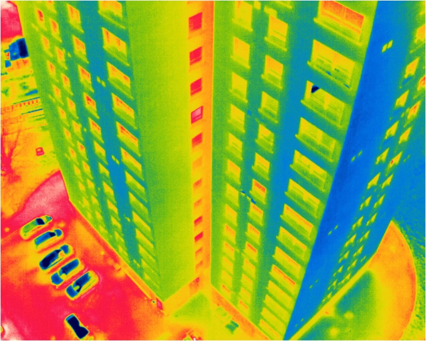
We supported a large thermal inspection project across three residential buildings by providing certified Level 3 thermographic reporting based on drone data collected by the client. Using a protocol we developed, they captured radiometric thermal images, which we analysed remotely to identify heat loss, glazing issues, and roof moisture indicators. This collaborative approach showcases how our clients can carry out surveys independently, while we deliver professional-grade thermographic interpretation and reporting — cost-effectively and without needing site access.