Solar Panels and Drone Thermal Imaging
Solar energy is becoming more and more popular with both domestic and commercial customers alike.
An increasing focus on the perils of climate change has led to a surge in interest regarding renewable energy sources and you don’t have to travel far before you find roof mounted solar panels. With such interest showing no signs of slowing, solar panels are bound to become more and more part of our everyday lives.
How do they Work?
When photons or light particle hits the surface of a Photo Voltaic (PV) cell, they knock electrons loose from their atoms. Where conductors are attached to the positive and negative sides of a cell, this forms an electrical current through which the electrons can flow and generate electricity. These PV cells are linked together to form a solar panel and, in some cases, panels are linked together to form an array. Each of these cells work together in the light of the sun to generate electricity which is fed to an inverter. The inverter converts the DC current into AC which can be fed into the electrical grid. Inverters also provide tracking statistics and ground fault protection.
How does Thermal Imaging Work?
A thermal imaging camera works just in the same way any other camera in that it creates an image via a lens. However, instead of using visible light as a standard camera would, a thermal imaging camera uses infrared waves and focuses these onto a specialised sensor to create a ‘thermal profile’ of the reflected heat of a surface in comparison with the areas around it. It can’t see through walls (or clothing despite what some movies suggest!) but instead, it provides an excellent method under the right conditions on assessing heat loss from a building or monitoring solar panel efficiency.
How can Drones Assess Solar Panel Effectiveness?
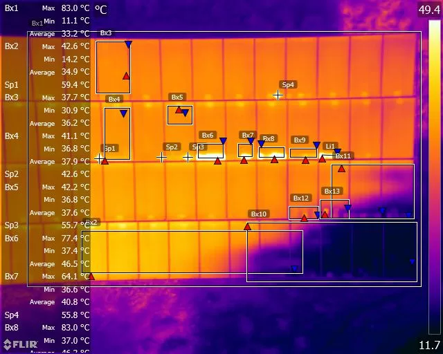
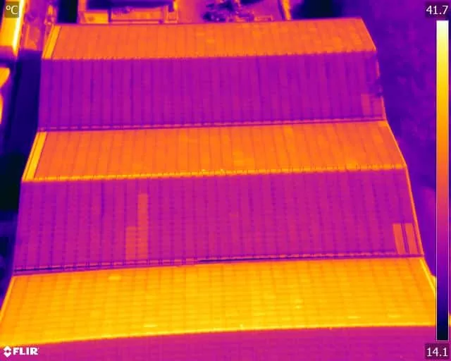
A drone mounted thermal imaging camera can offer the perfect solution for assessing the effectiveness of solar panels whether they are in large arrays such as a solar farm or roof mounted domestic installations. Having a camera in the sky allows a drone pilot to cover large areas quickly and effectively and survey roof panels without the need for ladders, scaffolding or cherry pickers.
Flown under the right conditions in the hands of a thermography qualified pilot, a drone thermal image can pinpoint defective modules, highlight future problems and even show panels that are defective to the point of being dangerous.
Regular inspection flights can be scheduled with minimal disruption and only a short amount of air time is necessary particularly in the case of domestic installations so peace of mind as to your solar panel’s safety and efficiency can be obtained relatively quickly and cheaply.
Drone Services Enquiry
Thermography | Inspections | Solar | Photogrammetry
Discover how drone technology can enhance your operations with a free quotation from our experts. Get a Free Quote or Make an Enquiry Today!
related posts
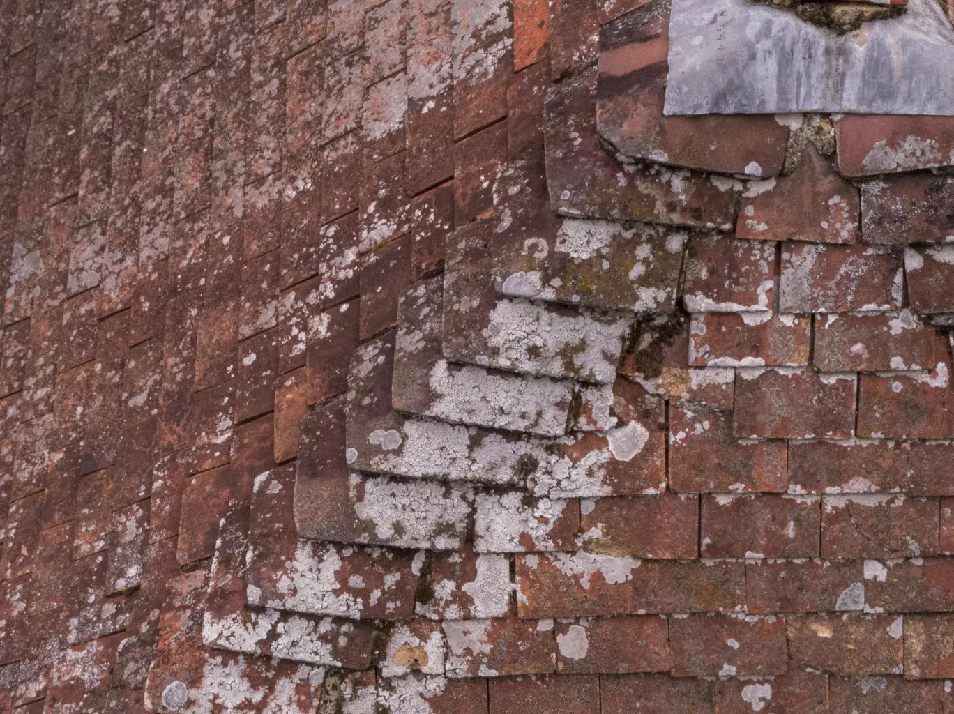
Discover the factors influencing roof inspection cost in the UK and how drone roof inspections from Drone Media Imaging offer a cost-effective solution. Learn how this valuable investment can benefit property purchases, insurance claims, and property valuations.
Exciting Dare Skywalk Edge attraction at Tottenham Hotspur Stadium, offering breathtaking views of London, taken from our BBC filming recce day.
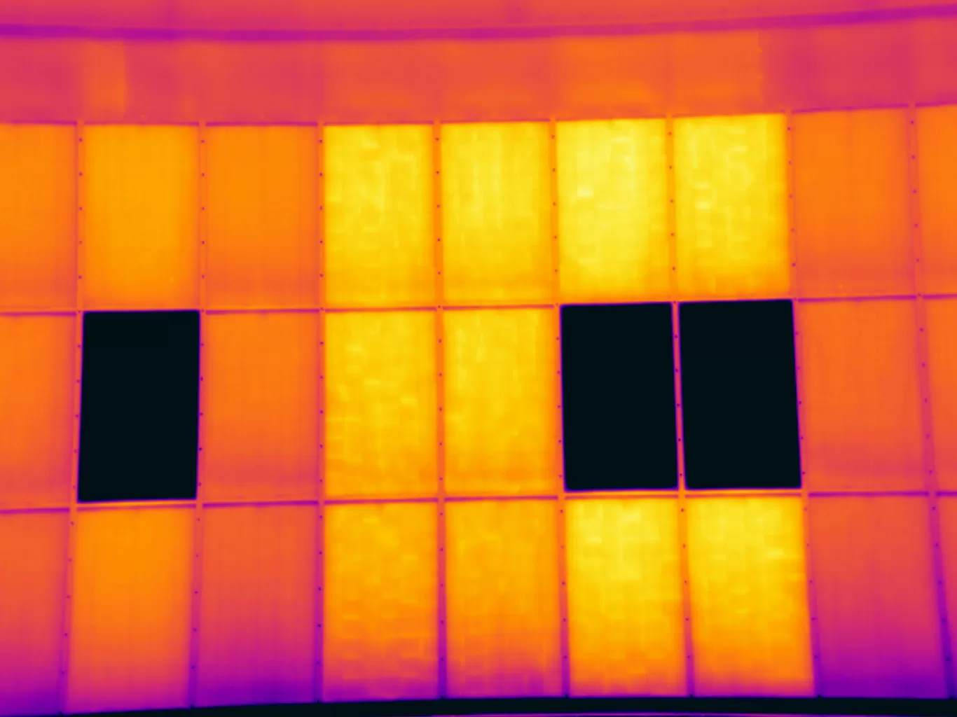
Solar panels have become increasingly popular, but many homeowners overlook the importance of regular maintenance. Annual thermal imaging inspections can detect potential issues and prevent costly repairs. Thermal imaging uses infrared technology to identify abnormal temperature patterns, indicating problems such as faulty wiring or damaged cells. These inspections offer early detection, enhanced performance, improved safety, and cost savings. Case studies and statistics demonstrate the benefits of thermal imaging inspections. By investing in regular inspections, homeowners can ensure the optimal performance and longevity of their solar panel systems.



