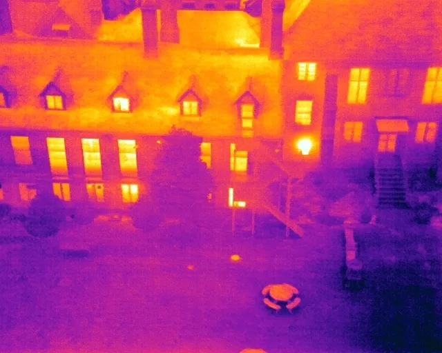
Drone Media Imaging has been appointed to provide ongoing de-construction monitoring for the MGM building in Worthing. As the structure is dismantled in phases, the project team requires clear and consistent aerial records to document how the site changes over time. We conduct scheduled flights at key intervals, working closely with site management to ensure each capture is carried out safely and in coordination with ground operations. The resulting imagery provides an accurate sequence of the building’s removal, showing structural reduction, debris clearance and the evolution of the site layout. These visual updates support effective communication between contractors, planners and stakeholders, helping to verify progress and maintain a detailed record of the demolition process. Once complete, the project will produce a full visual timeline from initial standing structure through to final clearance, supporting both redevelopment planning and long-term project documentation.

Project Overview
Subject
deconstruction monitoring, demolition progress mapping, construction site aerial survey, building teardown tracking, redevelopment progress
Skills Used
Aerial Surveying, Controlled Site Operations, Progress Monitoring, Redevelopment Documentation, Safe UAV Flight Planning
Portfolio Tags
construction, demolition, deconstruction, mapping, progress monitoring, inspection, Worthing, redevelopment
Aerial De-construction Monitoring of the MGM Building in Worthing
Reliable aerial surveys tracking each phase of the building’s safe and managed de-construction.
Demolition Monitoring
Monitoring the De-construction of the MGM Building
Drone Media Imaging has been retained to monitor the staged de-construction of the former MGM building in Worthing as part of a major redevelopment programme. The building is being dismantled over several months, and the client requires clear visual records of each major milestone. Our role is to safely capture aerial updates that show how the structure changes over time, helping the project team document progress, track phases and maintain accurate site records.

Aerial Monitoring
Safe, Structured Aerial Capture Throughout the Demolition Process
Working on an active demolition site requires strict coordination with the principal contractor, site management teams and local safety protocols. Drone Media Imaging planned a series of scheduled flights, ensuring that each visit could be carried out safely, efficiently and without disruption to machinery or workforce movements. By capturing the site from consistent viewpoints over time, we provide a clear visual timeline of the demolition process, highlighting changes in structure, debris removal, machine positioning and site logistics.

Certified and Accredited
Clear Documentation for Project Teams and Stakeholders
The imagery captured over the course of the project gives the client a reliable record of activity from the beginning of demolition through to final clearance. These updates help project managers verify progress, track the sequence of works and maintain accurate oversight of site conditions. The final collection of imagery will offer a complete before-and-after comparison, supporting both operational planning and long-term documentation of the redevelopment.