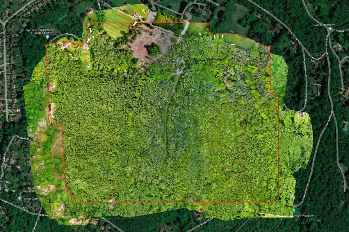
Drone Media Imaging has been providing scheduled aerial monitoring of the pre-demolition and demolition of the KCC Springfield Library in Maidstone. Over an 8–9 week programme, Dorton Group is dismantling the building in controlled phases, and our role is to capture regular aerial updates showing each major stage of progress. Flights are planned carefully around demolition activity, ensuring safe integration with machinery, exclusion zones and site operations. A ground-level time-lapse camera also supports the project, capturing continuous visual evidence from a fixed position. Together, these two perspectives offer a complete and reliable documentation sequence, allowing the project team to review changes clearly, verify programme milestones and maintain consistent oversight of site conditions. Once the demolition is complete, the collected imagery will create a detailed before-and-after record, supporting future redevelopment and internal project reporting. Further information regarding the de-construction project or the property should be directed to Dorton Group, Station Goods Yard, Station Road, Burgess Hill, West Sussex, RH15 9DG.

Project Overview
Subject
pre-demolition monitoring, aerial construction tracking, demolition progress survey, public sector site mapping, redevelopment drone inspection
Skills Used
Aerial Surveying, Controlled Flight Operations, Progress Monitoring, Demolition-Site Compliance, Structured Aerial Data Capture
Portfolio Tags
demolition, deconstruction, construction, monitoring, Maidstone, public sector, progress survey, inspection
Aerial Pre-Demolition Monitoring of the KCC Springfield Library in Maidstone
Consistent aerial monitoring to document each stage of the scheduled demolition programme..
Aerial Surveying
Capturing Pre-Demolition Progress at Springfield Library
Drone Media Imaging has been commissioned to monitor the staged pre-demolition and demolition progress of the former KCC Springfield Library building in Maidstone. The site is being dismantled over an 8–9 week period by Dorton Group, who require reliable, high-quality aerial updates to show how the building transitions through each scheduled phase of the de-construction programme. Drone Media Imaging’s role is to provide clear, structured aerial surveys that visually record the progress at regular intervals.
Our scheduled drone flights, planned every couple of weeks, ensure that each major milestone is captured accurately and safely. These flights support operational planning and provide a factual record of site development for both project teams and external stakeholders.

Structured Aerial Data Capture
Safe and Controlled Aerial Operations Throughout the De-Construction
Working on an active demolition site requires careful coordination with the principal contractor and adherence to strict site-safety processes. Drone Media Imaging works closely with Dorton Group to plan each flight around machinery movements, exclusion zones and daily safety briefings. As the building is methodically dismantled, aerial imagery provides a reliable perspective on structural change, debris removal, and site-layout evolution.
To complement aerial monitoring, a ground-level time-lapse camera was positioned to capture continuous visual progress from a fixed viewpoint. The combination of periodic aerial updates and ground-level time-lapse provides a comprehensive visual record of the entire programme, offering both wide-area context and detailed close-range perspective.

Photogrammetry for De-Construction Timelines
Progress Documentation and Value to the Project Team
The imagery recorded across the 8–9 week demolition period gives the project team a clear sequence of events, helping them review work stages, confirm programme timelines and maintain an accurate record of on-site activity. Aerial viewpoints allow site managers to observe changes in structure, understand the pace of removal works, and verify that clearance stages align with planned schedules.
Once the project is complete, the collected dataset will serve as a comprehensive before-to-after visual record of the demolition, supporting future redevelopment planning and internal reporting. This approach ensures that all parties have dependable and easy-to-review evidence of how the site changed throughout the demolition period.