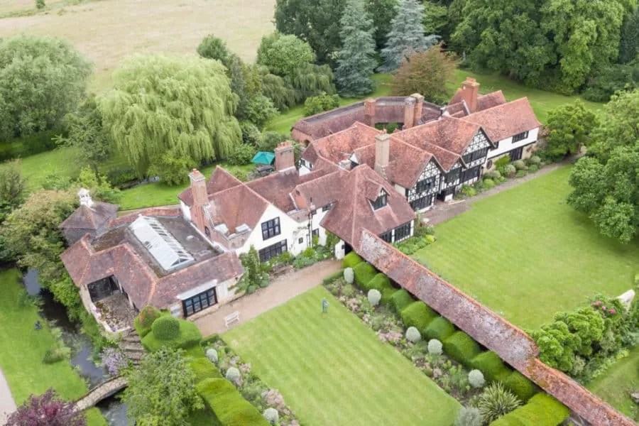
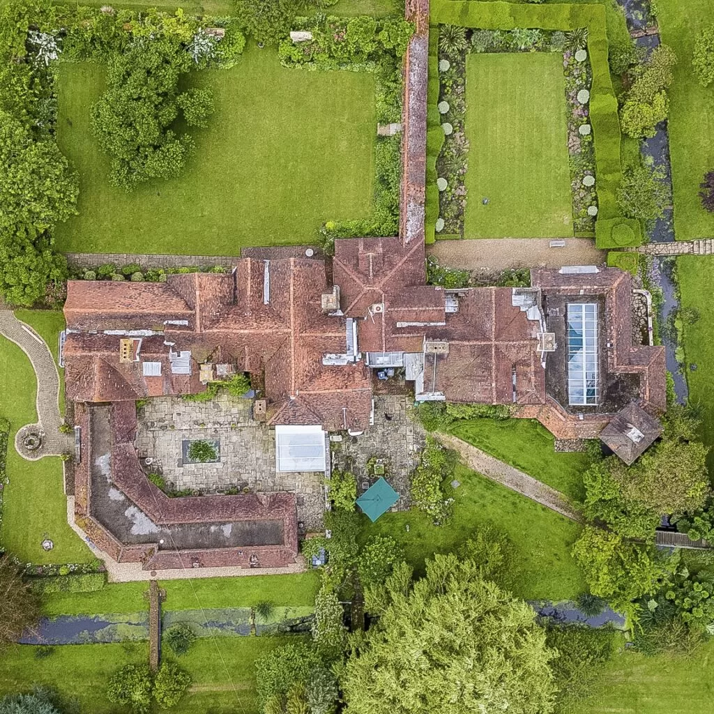
Drone Media Imaging completed an aerial survey of Great Tangley Manor, a Grade I listed moated manor house with nearly a millennium of history. Originally referenced in the Domesday Book, the property blends medieval, Tudor and Victorian architectural elements, making it an exceptional heritage site. The owners required high-resolution aerial images to support estate documentation, conservation awareness and general architectural appreciation.
Using a carefully controlled flight plan, we captured detailed overhead perspectives of the manor, courtyard, formal gardens and surrounding water features. This approach provided a complete visual context of the estate, offering insights into structural layout, symmetry and landscape integration. Working in a heritage-sensitive environment, we ensured all operations respected the property’s historic value and maintained safe distances throughout.
The completed survey offers the owners a valuable visual resource, supporting long-term stewardship and enhancing the estate’s ability to showcase its historical and architectural significance. This project highlights how aerial imagery can complement heritage preservation and estate management when conducted with appropriate care and expertise.
Project Overview
Subject
heritage property survey, listed building aerial imaging, estate overview mapping, historic property inspection, conservation site documentation
Skills Used
Aerial Surveying, Estate Overview Mapping, Structured Flight Planning, Heritage Documentation, Controlled Site Operations
Portfolio Tags
heritage, listed building, estate survey, aerial mapping, property inspection, Surrey, conservation, portfolio
Aerial Survey and Property Documentation at Great Tangley Manor
Aerial surveying of an exceptional Grade I listed property, documented with care and precision.
Drone Mapping for Heritage Estates
Documenting a Unique Grade I Listed Moated Manor
Drone Media Imaging was invited to complete aerial survey work at Great Tangley Manor, one of Surrey’s most historic and architecturally significant homes. With origins dating back nearly a thousand years, the property features an 11th-century moated manor house, a rich medieval heritage and carefully preserved architectural details from several periods of English history. The owners required high-quality aerial documentation to support estate records, architectural appreciation and future planning.
Our aerial capture provided clear, elevated perspectives of the manor, its courtyard, formal gardens and moat structure — offering visual context that cannot be achieved from the ground alone. These images help the estate highlight its exceptional character while supporting long-term stewardship of this iconic building.

Historic Property Survey Imagery
Respectful, Safe Flight Planning for a Historic Environment
Working around a Grade I listed building requires a sensitive, controlled and heritage-aware approach. Drone Media Imaging carried out detailed pre-flight assessments to ensure that all operations respected the historic fabric of the site, avoided disturbance to the surrounding grounds and met the owner’s safety expectations. With the manor’s intricate rooflines, water features and enclosed courtyards, aerial surveying provided a comprehensive perspective while maintaining safe standoff distances at all times.
The aerial view revealed the full breadth of the architecture — from the medieval hall house lineage to the Victorian additions designed by architect Philip Webb. The imagery highlights how centuries of careful conservation have shaped the manor and its gardens into one of Surrey’s most remarkable private estates.

Aerial Documentation for Listed Buildings
Supporting Heritage Appreciation and Estate Promotion
The completed aerial surveys offer the owners a valuable visual record that complements traditional photography and estate documentation. These perspectives help showcase the manor’s historical significance and assist with future planning discussions, conservation considerations and estate communications. For properties of this age and complexity, aerial surveying provides clarity over layout, structure and condition, all while presenting the estate in an elegant and visually engaging manner.
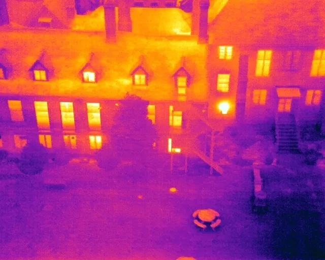
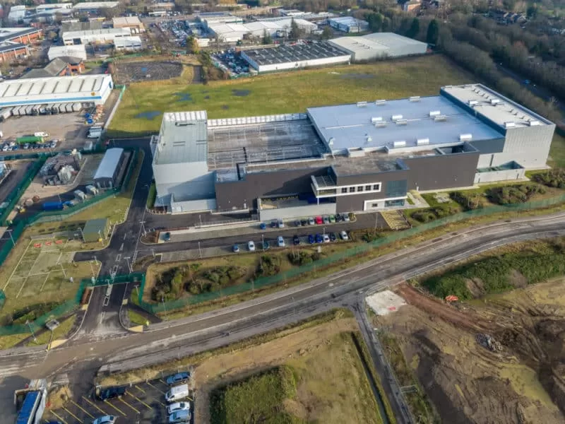
Although Drone Media Imaging now focuses primarily on thermography, solar inspections and commercial mapping, we continue to support select heritage projects where long-standing relationships exist. Our work at Great Tangley Manor reflects this commitment, offering high-quality imagery that honours and preserves the character of historically important sites.


