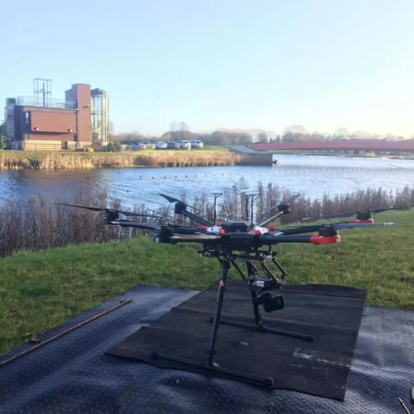
Drones and Property Marketing
In today’s competitive property market, sellers are always looking for a way for their names to stand out and attract the interest of the browsing buyer.
The popularity of online estate agents means that the amount of real estate that a buyer can view is no longer limited to a physical shop window. This means that large volumes of properties can be displayed in a single desktop window – great for buyer choice but challenging if you’re trying to make your home stand out from the crowd and entice a potential buyer to a real life visit.
Drone footage and photography can be just the ‘edge’ you are looking for. Already popular and accepted in cinematography, drone video can showcase your property’s key selling points and features and give it a Hollywood feel. Combining still and moving images from an aerial and ground perspective can offer a really complete vision of all your home has to offer. It also allows you to feature your home across multiple social media channels, including YouTube, to gain maximum exposure.
If you are selling your home and you’re looking for a way to present it at its best and set it within the context of its grounds and environment, a drone pilot may be able to help you create what you are looking for.
Drone Services Enquiry
Thermography | Inspections | Solar | Photogrammetry
Discover how drone technology can enhance your operations with a free quotation from our experts. Get a Free Quote or Make an Enquiry Today!