

Drone Thermal Imaging and Property Inspection
When is the best time to use a Thermal Infrared camera for conducting roof inspections?


UAVs or Drone’s as they are known have the ability to create great aerial photography and videography which has been understood for some times, however, were you aware that they can also be fitted with thermal infrared cameras to add a whole new dimension to property inspections? Thermal imaging cameras provide a non-contact temperature measurement across areas that are hard to access or see from a ground.
The health and safety risks associated with working at height are minimised when using drone technology, as are the risks of causing damage to the structure through the inspection process itself. With UAVs carrying thermal imaging cameras, temperature data is captured in real-time as well as recorded both quickly and accurately with the resulting heat map presented as colour images in both a qualitative and quantitative reporting format. Image analysis and reporting completed by a thermographer appropriately trained and certified, can identify potential fault areas that would have remained hidden to the human eye until serious damage had occurred.
Key Areas to Use a Thermal Drone

In all cases thermal imaging solutions when deployed from a UAV drone, offers a non-destructive, simple, and cost effectively solution to getting infrared analysis from hard to reach and difficult to see places.
Drone Media Imaging use the latest thermal infrared equipment and fully trained and insured thermographers, get in touch to discuss your thermal survey and inspection and we will provide you with a clear no obligation quotation.
Thermal Survey and Inspections
Drone media imaging are qualified, approved and insured aerial thermographers
specialising in providing thermal imaging and anlysis reporting through the use of Drone technology


Drone Services Enquiry
Thermography | Inspections | Solar | Photogrammetry
Discover how drone technology can enhance your operations with a free quotation from our experts. Get a Free Quote or Make an Enquiry Today!
related posts

Why solar panels can catch fire if not properly maintained. Solar panels are a popular renewable energy solution, converting the sun's energy into electricity for a greener future, however they need to be inspected regularly.
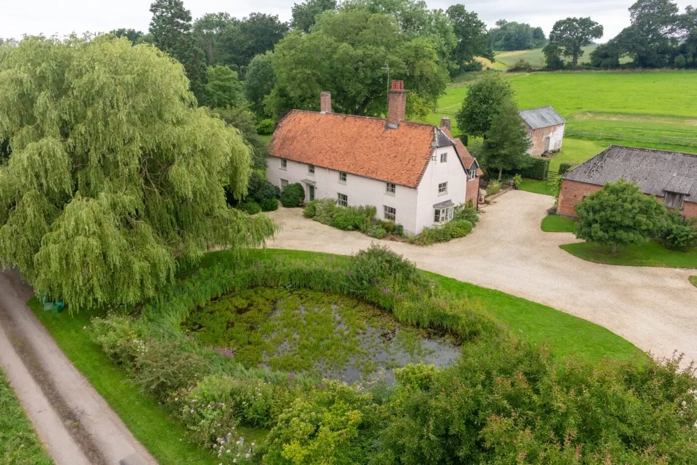
House portraits make great gift ideas!
It can be hard to think of the perfect gift for people sometimes, especially when you’re looking for something really special and unique to them. A house portrait can fit the bill exactly.
These photos come from a client who wanted the perfect way to express her thanks to her parents for hosting her wedding at their property and I can’t think of a better way to put it than by commissioning such a special portrait of their home.
Using a drone captures a property from a unique angle and is the perfect way to showcase all the beautiful home and garden features. In ‘olden days’ these portraits used to be captured via an aircraft flying at a much greater height and on a fixed flight path but a UAV or Drone can fly lower and capture much more detail as well as choose the perfect angle to show off the property at it’s very best. Not to mention that it can do all this at a fraction of the cost.
Commissioning an aerial home portrait is simple to do – just get in touch with us to talk over your requirements, and provide us with the property details. We can then schedule a time to come and visit and capture your images – in this case, we did it when her parents were away so it could be a surprise.
